Map of Elmhurst
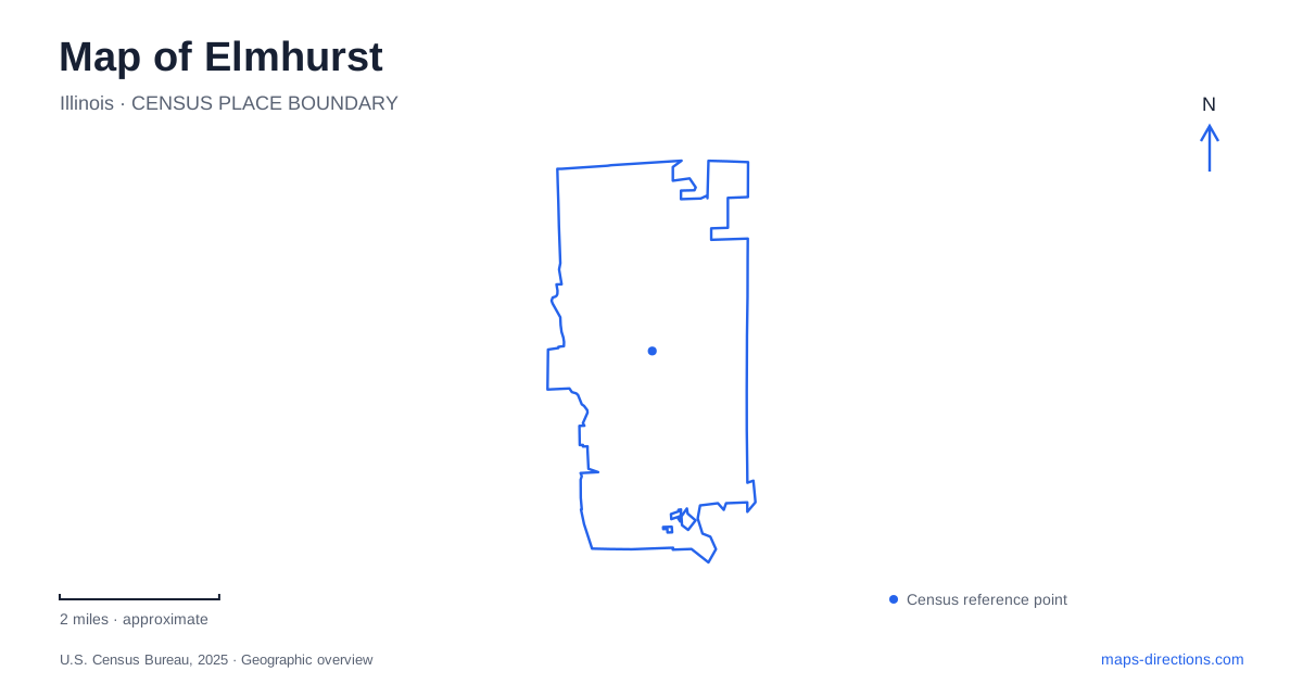
Street tiles load from OpenStreetMap when opened. The blue line shows the 2025 Census boundary.
- State
- Illinois
- Population · July 2025
- 46,111
- Land area
- 10.2 sq mi
- Water area
- 0.1 sq mi
Elmhurst contains several kinds of history within a relatively close network of streets, parks, and trails. A working commuter railway serves downtown, cultural destinations cluster around Wilder Park, and former railway land supports recreation and a surviving prairie fragment farther south. Salt Creek adds another organizing line. These features explain the city more clearly when they are read as connected landscapes rather than a list of unrelated places to visit.
The station and history museum establish a downtown reference
The local history museum describes its location as half a block east of the Metra station, south of the tracks and just east of York Street. That relationship is unusually helpful for a first look at downtown. The railway, the street, and the museum provide three references that can be recognized together.
The station belongs to Metra's Union Pacific West route, while the museum interprets the community around it. An arrival by train therefore begins near a place devoted to local history, but the station itself should not be confused with the former railway structures found elsewhere in the park system.
A map of Elmhurst can use this downtown relationship as a starting point, then distinguish the cultural grounds around Wilder Park from the trail corridors to the south. The different railway histories become clearer when the active commuter line and the reused rights-of-way are shown separately.
Wilder Park brings several institutions together
Wilder Park contains the public library, art museum, Wilder Mansion, and a conservatory with formal gardens. The park is consequently more than open lawn beside one building. It is a shared setting for institutions that offer different kinds of visit, from reading and exhibitions to garden viewing.
The Elmhurst Art Museum includes the McCormick House, designed by Mies van der Rohe in 1952. The house was moved from its original Prospect Avenue location to the museum campus in Wilder Park. Its present position therefore reflects a preservation decision, not the original arrangement of the neighborhood in which it was built.
That distinction adds a useful layer to an architectural visit. The building can be studied where it now stands, while its history explains why it belongs to a museum campus. Wilder Mansion and the conservatory contribute other forms of architecture and landscape, making the park a place where different periods and purposes can be compared within one setting.
Former railway land preserves more than a route
Wild Meadows Trace follows land associated with the old Great Western Railroad. It contains a restored depot, a fountain, and Safety Town, and connects with the Illinois Prairie Path. The depot's location within a recreation landscape tells a different transport story from the downtown station still used for commuting.
The Prairie Path itself follows the former Chicago, Aurora and Elgin electric railway right-of-way. Its broad regional route extends beyond the city, so the local section is part of a larger conversion from transport infrastructure to public recreation. This is why a relatively direct trail alignment can continue through places whose surrounding streets have a different pattern.
Near Spring Road, the 9/11 memorial provides another specific reference within Wild Meadows Trace. The combination of a linear park, historic depot, and memorial makes the corridor more than a passage between other destinations.
A prairie fragment survives between old transport lines
The Great Western Prairie occupies a narrow part of Wild Meadows Trace between Spring Road and Salt Creek, just north of the Prairie Path. The park district explains that two nearby railway lines helped leave a strip of native prairie relatively undisturbed between them. That is a distinctive consequence of infrastructure: land beside railways retained habitat while much of the surrounding landscape changed.
For a map of Elmhurst, this small remnant deserves to be distinguished from a planted flower bed or a large forest preserve. Its significance lies in continuity of native vegetation and in its relationship to the old rail corridors. The thin shape on the map is part of the story, rather than evidence that the site is unimportant.
Salt Creek joins the local outing to a regional network
The Salt Creek Greenway generally follows the creek and connects with the Prairie Path near St. Charles Road, west of Route 83. Local access points include Eldridge Park and Maple Trail Woods. This creates an intersection between a waterway-based route and a former railway route, two paths whose alignments arose for different reasons.
Eldridge Park straddles Salt Creek and contains a lagoon, playgrounds, and a perimeter path linked to the greenway. Its canoe launch is reached from the west parking area near Butterfield Road and Commonwealth Lane. A walk around the park, a longer bicycle trip, and a paddle therefore use different parts of the same recreation setting.
A map of Elmhurst reveals these layers best when it keeps their origins visible: the active railway downtown, the cultural campus at Wilder Park, the railway-to-trail landscape, and the creek corridor. Together they provide a coherent way to explore local history and open space without treating every green area or rail line as the same kind of place.
Map and statistics: U.S. Census Bureau, 2025 Gazetteer, January 2025 generalized place boundaries and Vintage 2025 population estimates. Local references: Elmhurst History Museum; Metra; Elmhurst Park District; Elmhurst Art Museum; Illinois Prairie Path. Article prepared by Maps & Directions.