Map of Elk Grove
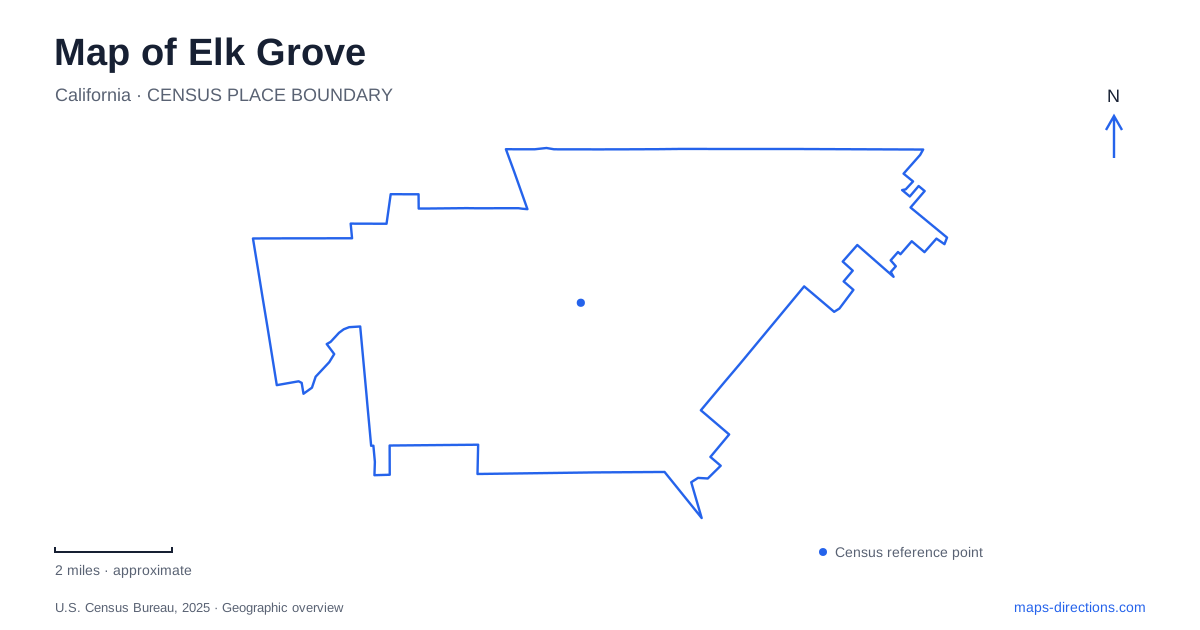
Street tiles load from OpenStreetMap when opened. The blue line shows the 2025 Census boundary.
- State
- California
- Population · July 2025
- 185,007
- Land area
- 42.6 sq mi
- Water area
- 0.2 sq mi
Elk Grove's map connects a railroad town, broad recreation grounds and newer civic spaces with the wetland landscapes beyond its western edge. The historic commercial center sits east of Highway 99, while District56 occupies a separate civic campus farther west. Stone Lakes National Wildlife Refuge introduces another scale of open land beyond the urban neighborhoods. These places share a regional agricultural history, but their layouts and public uses differ in ways that are useful to understand before choosing a route.
A town center shifted toward the railroad
The arrival of the Central Pacific's Sacramento–Stockton line in 1868 changed the location of local activity. The post office moved to the depot the following year, warehouses stored agricultural products, and shops sold goods arriving by rail. A business district around the station was surveyed in 1876.
The present historic main street preserves that rail-centered pattern. The railroad crosses the district diagonally, interrupting the more regular arrangement of streets and parcels. Shops, services and restaurants occupy a collection of older buildings, many dating from the late nineteenth century.
This is a useful example of infrastructure changing a community's center of gravity. The historic district did not simply grow outward from every earlier settlement site at the same rate. Rail access created a new concentration of trade, and the town's public and commercial life followed it. The district's compact scale still contrasts with the broader roads and larger development parcels elsewhere in the city.
A large park with several internal destinations
Elk Grove Park occupies 122 acres at 9950 Elk Grove-Florin Road. Its lake, sports fields, picnic areas, playgrounds and multi-use trail create several different recreation zones within one property. The Jerry Fox Swim Center supplies an aquatic facility separate from the lake itself.
That separation is important: fishing is permitted in the lake, but swimming and boating are not. The park map also identifies gathering places such as Strauss Island and the pavilion, which may be the actual destination for an event rather than the park's general address.
The site's master-plan material presents concepts for its longer-term development. Those drawings describe possible future changes to facilities and circulation. They should be distinguished from the amenities already operating on the grounds, especially when arranging a meeting or recreation visit.
The schoolhouse that changed locations
Rhoads School is a historic feature within the park, but the building did not begin there. Constructed in 1872 on Sloughhouse Road, it was moved to the park in 1976 and restored through community effort.
The school now supports living-history education and selected public tours. Its single-classroom setting recalls a rural district in which students carried water and firewood and sometimes traveled to lessons on horseback. The building's preservation makes those routines tangible without implying that its current surroundings reproduce the original schoolyard.
For a map of Elk Grove, this is an important historical distinction. Some landmarks explain their original location, while relocated buildings preserve a structure whose earlier geographic context must be supplied through interpretation. Rhoads School belongs to the second category.
Agricultural traces at District56
The Preserve at District56 is a twenty-eight-acre passive park with restored wetlands, native grasslands and oak habitat. The civic campus address is 9701 Big Horn Boulevard. A pond, walking trails, an accessible playground and picnic spaces make the landscape part of everyday public use.
An old silo and the original pistachio orchard connect the site to its agricultural past. The orchard remains on the southern side of the property, while habitat features include owl burrows, bat boxes and standing dead wood used by birds. These details show deliberate choices about what to retain and what to restore.
The park therefore offers more than a landscaped setting around civic buildings. Its design brings food production, habitat and public recreation into the same walk, allowing visitors to notice older land uses within a newer gathering place.
Blue Heron Trails beyond the urban grid
Stone Lakes National Wildlife Refuge provides designated public access at Blue Heron Trails, reached from Hood-Franklin Road west of Interstate 5. Accessible paths, boardwalks and interpretation introduce wetland and grassland habitat. The refuge has no conventional visitor center.
Most refuge land is not freely open for wandering; public entry is limited to posted routes and authorized activities. Pet dogs are not permitted, and seasonal hours govern the trail area. These rules reflect the site's wildlife purpose, which differs from a neighborhood recreation park.
Seen together, the historic district, park, civic preserve and refuge show several versions of Elk Grove's changing landscape. Railways concentrated trade, rural buildings became educational landmarks, agricultural remnants entered a public park, and wetland conservation retained space beyond the expanding street grid. A map that keeps those histories visible offers a fuller understanding of the city and its surroundings.
Map and statistics: U.S. Census Bureau, 2025 Gazetteer, January 2025 generalized place boundaries and Vintage 2025 population estimates. Local references: City of Elk Grove; Cosumnes CSD; Elk Grove Historical Society; City of Elk Grove District56; US Fish and Wildlife Service; Friends of Stone Lakes. Article prepared by Maps & Directions.