Map of Elizabeth
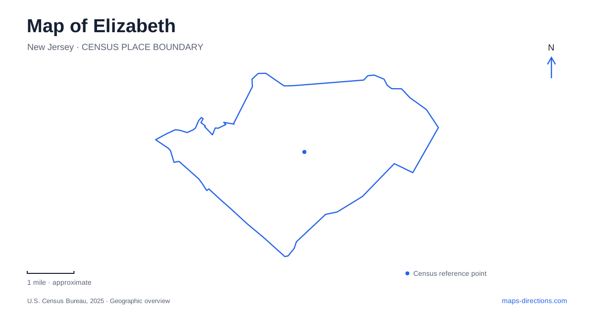
Street tiles load from OpenStreetMap when opened. The blue line shows the 2025 Census boundary.
- State
- New Jersey
- Population · July 2025
- 141,675
- Land area
- 12.3 sq mi
- Water area
- 1.3 sq mi
Elizabeth combines a colonial-era urban center with rail corridors, county parkland and a major working port. Broad Street and East Jersey Street provide references for the historic commercial district, while Newark Bay belongs to a much larger freight landscape. The two settings reveal different periods of the city's economy. Between them are neighborhoods and transport connections that cannot be understood from a port label alone. A useful map shows the smaller historical sites as well as the large infrastructure that makes the city prominent on a regional view.
Midtown's streets and buildings
Historic Midtown includes Broad Street's shopping corridor and a collection of older civic, religious and cultural sites. The city places its main passenger station on West Grand Street, where the plaza also contains a September 11 memorial. East Jersey Street supplies another important reference, including the Ritz Theatre and Boxwood Hall.
These streets connect different kinds of urban history. A theater represents public entertainment and commercial life; a preserved house records domestic life and political associations; a station represents movement through the center. Reading them within the same street network gives more context than treating each as an isolated attraction. Historic Midtown Elizabeth is a functioning urban district whose older buildings remain surrounded by everyday activity.
Boxwood Hall stands at 1073 East Jersey Street. Built around 1750, it became home to Elias Boudinot and later Jonathan Dayton, both figures in the founding period of the United States. The state historic site's interpretation also recognizes the women of the households and the free and enslaved people whose work sustained them. That broader account prevents the house from becoming only a list of famous visitors.
The building's survival was itself a community effort. After later use as an academy, boarding house and home for older women, it faced demolition. Local supporters raised money to preserve it, and it opened as a state historic site in 1943. The small surviving property consequently represents both eighteenth-century history and twentieth-century preservation.
Two passenger stations, different neighborhoods
North Elizabeth station is at 1180 North Avenue. NJ TRANSIT lists Northeast Corridor and North Jersey Coast Line service there. Its position on North Avenue distinguishes it from the main station near West Grand Street in Midtown. The two stops belong to the same wider rail network but occupy different parts of the city.
This rail geography is useful beyond choosing a train. Station locations explain where regional movement meets the local street system and why activity can concentrate around more than one transport node. A destination near East Jersey Street has a different relationship to the tracks from an address along North Avenue. The street references remain useful even when a particular journey is made by bus, car or on foot.
A historic estate beyond the city boundary
Liberty Hall is associated with the region's Revolutionary history, but its museum address is 1003 Morris Avenue in neighboring Union. The house was inhabited by William Livingston, New Jersey's first elected governor. Over time, the original Georgian-style residence expanded into a much larger Victorian mansion, while its grounds developed into gardens and an arboretum.
That sequence of changes is visible in the property's interpretation: it is an estate shaped by generations, rather than a building frozen at one revolutionary moment. The museum and gardens also form a different spatial experience from Boxwood Hall's urban street setting.
Kean University identifies the Liberty Hall Academic Center and Exhibition Hall as a separate facility from the house museum, despite the shared campus and closely related address. For a regional history itinerary, keep the estate in Union and the Midtown house in their actual settings. Their historical connections do not erase the municipal boundary or make them parts of a single museum complex.
County parkland crosses municipal lines
Warinanco Park belongs to the county park system and is identified with both Elizabeth and Roselle. The Olmsted firm's original design and the park's development in the 1920s place it within the region's early public-park movement. Its landscape now supports a broad mixture of recreation, including paths, playing fields, gardens and a sports center.
The sports center developed from the park's long-established skating facility, with a major modernization completed in 2017. This history helps explain why the park contains both open landscape and substantial activity buildings. Its county role also explains why a single-city search can obscure the larger park footprint. The grounds serve neighboring communities across their boundaries.
Newark Bay is a freight landscape
The Elizabeth-Port Authority Marine Terminal occupies a large area on Newark Bay. The port authority describes container handling, warehousing and intermodal transport, with the channel separating it from the neighboring Port Newark facility. Cranes, vessel berths, rail infrastructure and internal roads form a coordinated logistics landscape.
On a regional map, that large waterfront footprint contrasts sharply with Midtown's small blocks and historic houses. Both are essential to the city's identity: one records older patterns of commerce and settlement, while the other connects local land and transport infrastructure to international trade.
Map and statistics: U.S. Census Bureau, 2025 Gazetteer, January 2025 generalized place boundaries and Vintage 2025 population estimates. Local references: City of Elizabeth; New Jersey State Park Service; NJ TRANSIT; Liberty Hall Museum; Kean University; Union County; Port Authority of New York and New Jersey. Article prepared by Maps & Directions.