Map of Edmonds
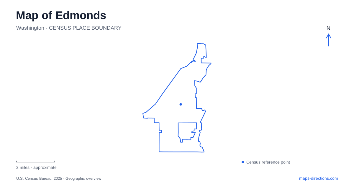
Street tiles load from OpenStreetMap when opened. The blue line shows the 2025 Census boundary.
- State
- Washington
- Population · July 2025
- 42,748
- Land area
- 8.9 sq mi
- Water area
- 1.1 sq mi
Edmonds meets Puget Sound at a compact waterfront where ferries, railway tracks, beaches, and downtown streets converge. Main Street provides the clearest east–west reference, ending beside the Kingston ferry landing. Railroad Avenue follows the shoreward transport corridor, while Fifth Avenue leads through a different civic setting inland. Beyond these streets, the marsh and the ravine at Yost Park show how water moves through the city before reaching the Sound. The result is a map with several distinct waterfront and upland landscapes.
Main Street, the ferry, and the railway
The ferry crossing runs to Kingston on the Kitsap Peninsula. Its terminal sits at the foot of Main Street, beside Brackett's Landing. The railway station lies along Railroad Avenue between Main and Dayton Streets, creating a concentration of regional transport close to the shore. Sounder and Amtrak use the rail corridor, while the ferry carries travel across the water. These connections explain why this small part of the street network has a regional role.
For someone exploring Edmonds on foot, the important feature is the close arrangement of different modes rather than a single unified terminal. The ferry approach, railway platforms, and beach paths occupy neighboring spaces. Main Street links this transport edge with the inland blocks, while Railroad Avenue follows it. The street pattern makes it possible to understand downtown in relation to the water without assuming that waterfront recreation and ferry boarding use the same lanes or entrances.
A marine park below the surface
Brackett's Landing has an unusual counterpart offshore. The Edmonds underwater park, established as a marine preserve in 1970, occupies more than 27 acres of tidelands and seabed immediately north of the ferry landing. Its trails and features are intended for divers, giving the city's park map a submerged dimension. The adjacent beach provides paths, picnic space, and interpretation for visitors remaining on land.
One of the underwater features is the De Lion dry dock, sunk in 1935 as a current buffer beside the ferry dock. It marks the park's southern edge near active ferry operations. That history shows how a working waterfront structure became part of a recreational landscape. A shoreline view reveals only a portion of this park; its underwater layout requires the dedicated dive maps provided at the site and appropriate dive planning.
A small building with several civic lives
At 118 Fifth Avenue North, the former Carnegie library now houses the historical museum. It opened in February 1911 with the library upstairs and municipal offices, council chambers, and a jail below. This unusual vertical arrangement condensed several public functions into one building. It is a useful reminder that the early civic center operated on a very different scale from modern government facilities.
The library and city offices moved out in 1962, and the building later became a museum. Its preserved form offers a concrete anchor for understanding Edmonds beyond the ferry dock. A walk between the waterfront and Fifth Avenue connects transportation, commerce, and civic history through a compact set of streets. The museum's building is itself part of the story, rather than merely a container for historical displays.
The marsh behind the waterfront
The city identifies the marsh at 180 West Dayton Street as an estuarine wetland. It is a remnant of a larger coastal system, supplied by Willow and Shellabarger creeks. A city-commissioned study describes contrasting conditions within it: saltmarsh vegetation toward the west and predominantly freshwater influences toward the east. That variation makes it more complex than a pond beside the railway.
The same study documents a connection to Puget Sound through an altered system of channels, pipes, culverts, and tide-control infrastructure. Restoring Willow Creek's open connection has been the subject of planning work. The distinction matters when interpreting a map: the marsh's closeness to the beach does not mean its water flows through an unobstructed natural outlet. Roads and other infrastructure have changed the relationship between the wetland and the shore.
Shell Creek's wooded ravine
Yost Park, near Bowdoin Way and 96th Avenue West, offers a contrasting interior landscape. Shell Creek carved the ravine, and the surrounding forest includes cedar, alder, maple, and hemlock. The Yost family formed a water company in 1902, damming the creek and piping water into the young community. Remnants of dams and settling structures survive along the creek-side trail system.
The woodland also records logging and regrowth, with old stumps among later trees. It brings another layer to the map of Edmonds: a forest can preserve evidence of both timber extraction and water supply. Together, the ravine, marsh, beach, and submerged park explain a city shaped by several kinds of water landscape, each with its own history and way of being explored.
Map and statistics: U.S. Census Bureau, 2025 Gazetteer, January 2025 generalized place boundaries and Vintage 2025 population estimates. Local references: Washington State Ferries; Sound Transit; City of Edmonds; Edmonds Historical Museum; City of Edmonds commissioned study. Article prepared by Maps & Directions.