Map of Edmond
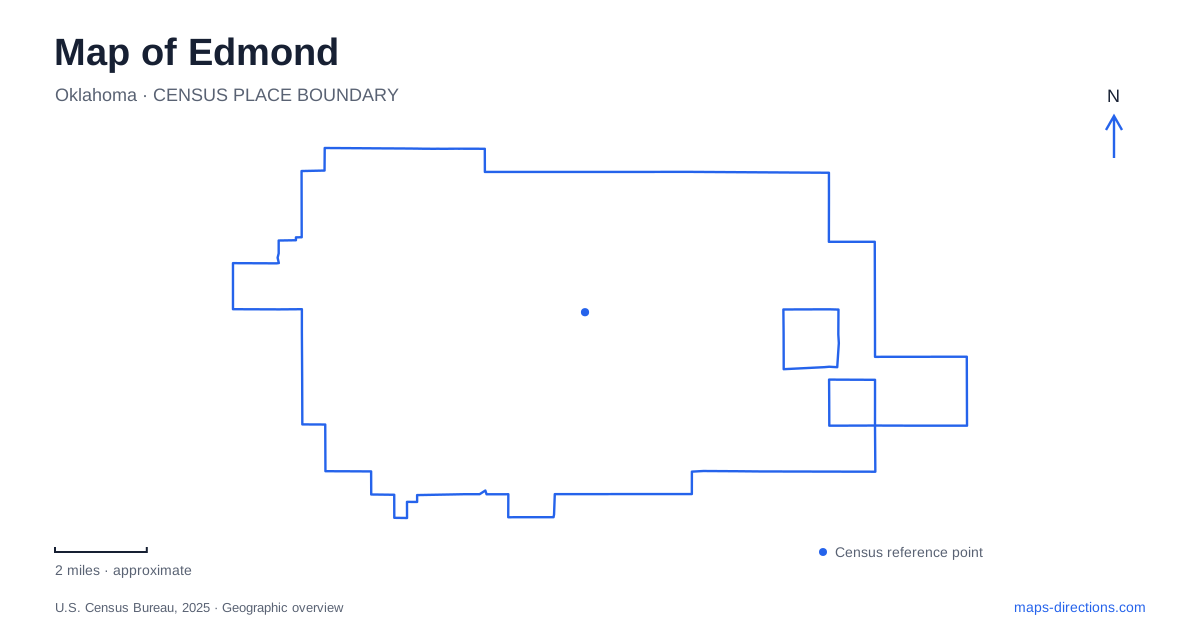
Street tiles load from OpenStreetMap when opened. The blue line shows the 2025 Census boundary.
- State
- Oklahoma
- Population · July 2025
- 100,479
- Land area
- 84.4 sq mi
- Water area
- 3.1 sq mi
Edmond combines a railroad town center with a university campus and a lake landscape east of Interstate 35. Broadway and Second Street provide the central urban reference, while Boulevard, University Drive, and the lake approaches reveal different parts of the community. The most useful map separates the compact historic streets from the longer recreational routes: a schoolhouse visit, a campus walk, and a ride toward Arcadia Lake each depend on a different set of landmarks.
A railroad origin behind the downtown grid
The Santa Fe laid its railroad through this part of the territory in 1887. A coal and water station supplied steam locomotives, and the location carried the names Mile Marker 103 and Summit before becoming a named station. That infrastructure preceded the town that grew around it. The railway therefore belongs in the explanation of downtown's geography, even when a visit concentrates on present-day shops and public spaces.
The historic preservation trust locates the downtown core along Broadway between Main and Second streets. It identifies the Route 66 reference at Second and Broadway, the farmers market around West First and Jackson, and Shannon Miller Park at Main and Jackson. These nearby intersections give Edmond a readable central district: Broadway supplies the commercial spine, while Jackson locates a parallel set of community destinations.
This is a useful area to examine at block scale. The named intersections explain more than a broad downtown marker, especially when combining a market visit with the older commercial street. They also distinguish the central district from the university campus farther along the local street network.
Education landmarks on two different sites
The 1889 Territorial Schoolhouse stands at 124 East Second Street, near Boulevard. Jennie Forster and the Ladies School Aid Society organized its construction, and the restored building recalls the first months of organized schooling after settlement. Its survival on the original schoolyard lots makes it a particularly direct link between the historical town plan and the present street map.
The schoolhouse later served as a residence and a camera shop before restoration returned its educational appearance. Its visitor parking approach is behind the building, reached from Littler Avenue and the adjoining access road. The small frontage on Second Street consequently tells only part of the site's arrangement.
The University of Central Oklahoma represents a separate educational chapter in Edmond. Founded as the Territorial Normal School in 1890, it began classes in a church before occupying Old North in January 1893. The preservation trust places Old North Tower at Campbell and University. A marker near Boulevard and Second recalls the earlier church-classroom location, connecting the campus story back to the historic street district without confusing the two places.
Stephenson Park and Boulevard
The local history museum at 431 South Boulevard belongs to the Stephenson Park area. The trust's landmark map places both museum and park around Fourth and Boulevard, with the 1900 Territorial Home and American Legion Hut at Fourth and Littler. These intersections define another compact historical cluster south of Second Street.
For a history-focused map of Edmond, this grouping complements the schoolhouse and Old North rather than replacing them. The schoolhouse represents a surviving early classroom, the campus tower represents territorial higher education, and the museum interprets the broader town story. Plotting all three shows how educational and civic institutions occupy several connected parts of the central street grid.
From the freeway to Arcadia Lake
Spring Creek Park is at 7200 East 15th Street, east of Interstate 35. Its facilities include a boat ramp, swimming area, disc golf, camping infrastructure, and trails. The Spring Creek paved trail runs west toward the interstate, with a connection to the Fox Lake trailhead on the west side. The city describes separate space for cyclists and people walking or running along the wide paved corridor.
That route differs from the lake's dirt multiple-use trail. The latter winds between the park office on East Second Street and Spring Creek Park, with bridges, water crossings, and alternate branches. A paved approach from the urban side and a woodland single-track route should therefore appear as different choices on a recreation map, even though both serve the same lake landscape.
Horseback riders have another distinct access arrangement: the equestrian trail's trailer parking is south of 33rd Street on Air Depot. This separates riding access from the East 15th Street park approach. Edmond's eastern recreation geography becomes clearer when the map retains these road names and trail types, rather than reducing Arcadia Lake to one entrance or one continuous loop.
Map and statistics: U.S. Census Bureau, 2025 Gazetteer, January 2025 generalized place boundaries and Vintage 2025 population estimates. Local references: Edmond History Museum; Edmond Historic Preservation Trust; Oklahoma Tourism; University of Central Oklahoma; City of Edmond. Article prepared by Maps & Directions.