Map of Edinburg
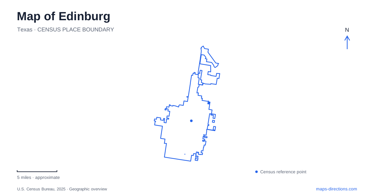
Street tiles load from OpenStreetMap when opened. The blue line shows the 2025 Census boundary.
- State
- Texas
- Population · July 2025
- 110,700
- Land area
- 47.2 sq mi
- Water area
- 0.1 sq mi
Edinburg has several strong centers rather than one interchangeable downtown destination. The county courthouse and regional history museum establish the civic core along Closner Boulevard. University Drive leads toward the university campus, while Raul Longoria Road identifies a different landscape of ponds, native plants, and bird habitat. Reading those places together produces a useful map of a community where government, education, and wetland restoration occupy distinct settings. A downtown street grid alone cannot explain all three, but a handful of named corridors makes their relationships easier to understand.
A courthouse square with a changed street pattern
The intersection of Closner Boulevard and University Drive is a useful starting reference for central Edinburg. Municipal planning identifies these as the downtown district's two principal thoroughfares. City Hall stands at 415 West University Drive, while the Hidalgo County Courthouse uses 100 North Closner Boulevard. These addresses place municipal and county business in the same central area without treating their buildings as a single complex.
The courthouse project also changed the street network. County project documents identify the permanent closure of Closner between Cano and McIntyre streets, creating a unified courthouse site bounded by McIntyre, 12th, Cano, and 10th streets. The new seven-story building occupies its southeastern quadrant. That alteration matters when reading an older map: the familiar boulevard name remains an organizing feature downtown, but its former through alignment across the courthouse property is no longer a continuous driving route. The surrounding numbered and named streets now carry more of the work of explaining the block.
Regional history beside county government
The Museum of South Texas History occupies 200 North Closner Boulevard on the courthouse square. Its development helps explain why this central area contains buildings from different periods. The institution began in the historic 1910 county jail and expanded into a larger museum complex. A major addition completed in 2003 accompanied the adoption of its present name, reflecting a regional mission that includes both South Texas and northeastern Mexico.
The old jail remains part of the museum rather than an unrelated building with a similar historical label. Repairs completed in 2019 addressed moisture damage, rebuilt windows, and restored brickwork. Seeing that structure within the larger complex gives the block a readable architectural sequence: an early county institution followed by additions for interpreting a much broader borderlands history. Museum visitor information identifies parking on Closner and overflow space on Kuhn Street, north of the museum. Those street names further distinguish the museum side of the square from the courthouse site to its south.
University Drive and the campus map
The University of Texas Rio Grande Valley lists its Edinburg campus at 1201 West University Drive. This is a useful continuation of the central east-west address pattern, with City Hall and the university both using West University Drive addresses. It also separates this campus from the university's Brownsville location, which uses West University Boulevard. The similar institutional name and street wording can otherwise obscure a substantial difference in destination.
A university map adds a second level of geography beneath the city street map. UTRGV provides building, parking, and bus-route information through its mapping tools, and visitor parking uses temporary permits. For a campus appointment, the building name and its position among surrounding facilities are more informative than the university's general mailing address. The city map establishes the approach along University Drive; the campus map resolves the educational complex into individual destinations and walking connections. Keeping those two scales together is especially helpful when a visit includes both downtown business and a university event.
Reclaimed fields and working water landscapes
The Edinburg Scenic Wetlands and World Birding Center offers a different explanation of the urban landscape at 714 Raul Longoria Road. Opened in March 2003, it was the first of the nine World Birding Center locations. Its grounds were developed from reclaimed agricultural fields beside existing effluent and floodwater ponds. The setting is therefore both a habitat destination and an example of how managed water can shape public open space.
The roughly 40-acre site includes a native butterfly landscape, two large wetland ponds, a canal overlook, and smaller discovery and dragonfly ponds. About two and a half miles of trails and seven viewing docks distribute visitors around those different habitats. These features give a wetland map more meaning than a single green polygon: open water, planting areas, and observation points each serve a different purpose. Elsewhere along South Closner, the Dustin Michael Sekula Memorial Library at 1906 provides another civic reference. Together, the square, campus, library corridor, and wetlands give Edinburg a practical set of geographic anchors grounded in its own institutions and landscape.
Map and statistics: U.S. Census Bureau, 2025 Gazetteer, January 2025 generalized place boundaries and Vintage 2025 population estimates. Local references: City of Edinburg; Hidalgo County; Museum of South Texas History; University of Texas Rio Grande Valley; Edinburg Scenic Wetlands and World Birding Center. Article prepared by Maps & Directions.