Map of Eden Prairie
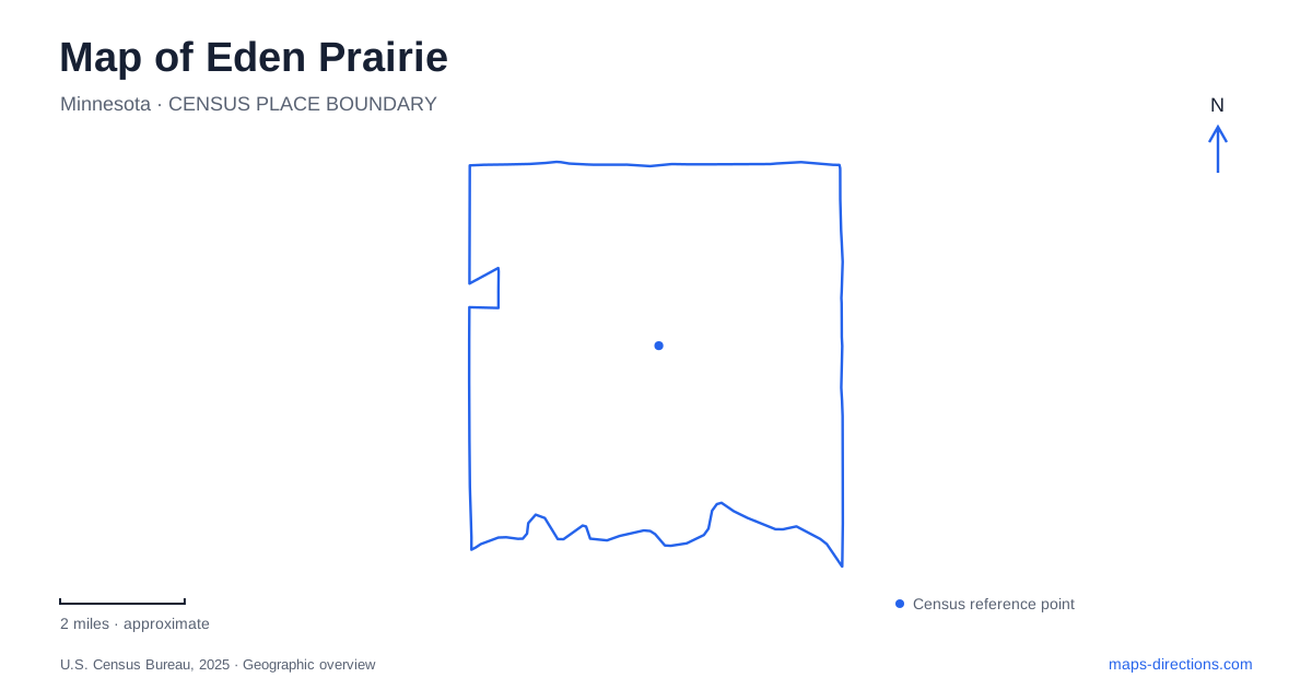
Street tiles load from OpenStreetMap when opened. The blue line shows the 2025 Census boundary.
- State
- Minnesota
- Population · July 2025
- 63,075
- Land area
- 32.5 sq mi
- Water area
- 2.7 sq mi
Eden Prairie is easier to navigate as a collection of lakes, creek corridors and destinations than as one compact downtown. A green area on its map might represent a municipal park, a regional park or a connecting trail, and those categories do not promise the same access. Purgatory Creek Park, Staring Lake Park and Bryant Lake Regional Park offer three particularly useful reference points. Their names identify different landscapes and their published addresses anchor them to different streets, giving a first-time map reader a more useful framework than a single city-center marker.
Technology Drive and the creek park
Purgatory Creek Park is listed by the city at 13001 Technology Drive. The municipal directory identifies both biking and hiking facilities there, along with a park shelter. For someone looking at Eden Prairie on a broad road map, that combination explains why a green corridor can function as a destination in its own right rather than simply open ground between developments.
Use the named park address to establish a starting point before following the creek or trail line. A watercourse label can extend well beyond the particular area where you intended to meet someone. A shelter reservation, a walk and a bicycle outing may all begin near the same park, but a meeting instruction should still specify the actual facility. The creek's name alone is too broad to describe the final arrival.
Staring Lake has several kinds of visits
Staring Lake Park is anchored at 14800 Pioneer Trail in the city's directory. Its listed facilities include an amphitheater, fishing pier, boat ramp, sports areas and trails. These are not interchangeable map targets. A person attending a performance has a different final destination from someone bringing a boat or meeting a team, even if everyone starts with the same park search result.
For an Eden Prairie route ending here, keep the activity visible in your destination notes. Examine the park plan for the appropriate internal connection after locating Pioneer Trail. A pin placed on the lake itself would give neither a road entrance nor the right walking approach. The shoreline is useful as an orientation feature; the facility and its access path are what complete the journey.
Bryant Lake belongs to the regional park system
Three Rivers Park District operates Bryant Lake Regional Park and gives its address as 6800 Rowland Road. The park combines water, wooded slopes, grassland and wetland. The district distinguishes paved and turf hiking routes and identifies a connection through city trails toward the Minnesota River Bluffs LRT Regional Trail. That layered network is a reason to read the trail legend before joining lines together into an outing.
A regional trail connection does not mean that every path around the lake is equally suitable for every bicycle, mobility need or outing. The practical map question is which surface and entrance your plan requires. Locate the desired activity area first, then compare its connection with the park's official trail information. The lake label is a geographic anchor, while the beach, boat launch and other facilities occupy particular places around it.
Roads and greenways tell different stories
The municipal parks and open-space plan shows major roads including Highway 5, US 212, Interstate 494 and US 169 alongside the local park network. At that scale, roads explain regional arrival while parks explain the local destination. It is tempting to treat a crossing of two lines as a convenient transfer between them, but a trail and highway can meet on the screen without supplying a public road entrance.
In Eden Prairie, compare a driving route with a separate walking or cycling route when planning mixed travel. A car trip to a parking area and the path beyond that parking area are distinct legs. Keep Technology Drive, Pioneer Trail or Rowland Road attached to the appropriate park rather than copying an entrance from a similarly named recreation result. This provides a concrete check on the route before you set off.
Build an itinerary around actual access points
A useful way to compare the three parks is to save their published street locations first and then add the specific facility at each. That produces a map of real destinations rather than three points dropped in water or broad green spaces. It also makes it easier to see whether a proposed sequence sends you back across the same part of the road network.
The boundary view of Eden Prairie supplies the wider setting, but it cannot settle trail surfaces, internal entrances or the suitability of a particular path. Read those details from the park operator's current plan. With the creek corridor, Pioneer Trail park and Rowland Road regional park kept distinct, the map becomes a practical explanation of where each outing begins and how its road and recreational portions fit together.
Map and statistics: U.S. Census Bureau, 2025 Gazetteer, January 2025 generalized place boundaries and Vintage 2025 population estimates. Local references: City of Eden Prairie; Three Rivers Park District. Article prepared by Maps & Directions.