Map of East Providence
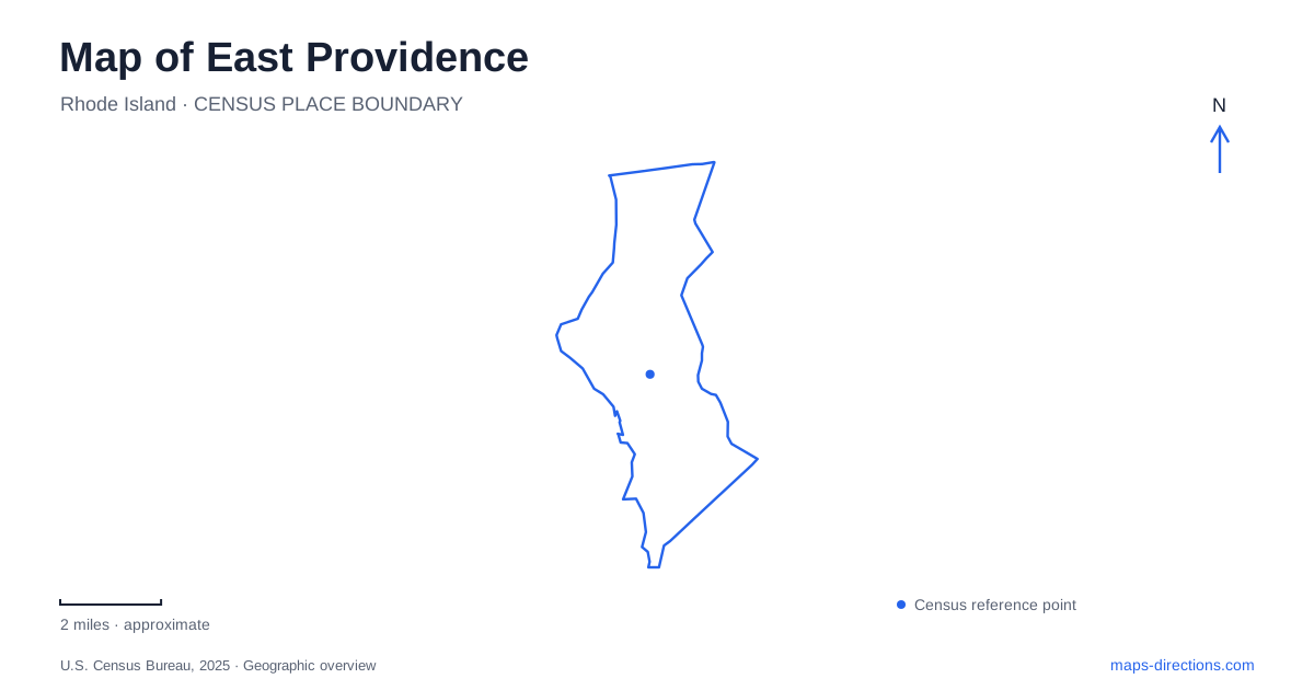
Street tiles load from OpenStreetMap when opened. The blue line shows the 2025 Census boundary.
- State
- Rhode Island
- Population · July 2025
- 48,249
- Land area
- 13.3 sq mi
- Water area
- 3.3 sq mi
East Providence joins several kinds of waterfront history within one municipal boundary. Hunt's Mills belongs to the Ten Mile River and its industrial use; Riverside's carousel recalls an amusement landscape; Pomham Rocks marks a navigational route toward the port. The East Bay Bike Path adds a former railway to that picture. These places help explain the city through specific waterways and neighborhoods, rather than treating everything east of the state capital as a single destination.
Hunt's Mills and changing boundaries
The John Hunt House stands at 65 Hunt's Mills Road near the Massachusetts border. The historical society dates the Georgian residence approximately to the middle of the eighteenth century, while acknowledging research uncertainty. Its large central chimney and domestic rooms distinguish it from the industrial structures associated with the surrounding site. Museum exhibits include material connected with Rumford Baking Powder and local families.
The house's jurisdiction changed without the building needing to move. It belonged successively to colonial Rehoboth, later Seekonk, and then the Rhode Island municipality created in 1862. This makes East Providence a useful example of why an old place name in a document may not match the modern map. The surrounding mills and subsequent pumping facilities add another layer: water powered production before serving a more extensive supply system. The house itself later accommodated water-company uses before becoming a museum.
The Ten Mile River falls and fish ladder are part of Hunt's Mills Heritage Park. Museum access follows an open-house schedule, distinct from simply finding the park. The approach branches from Route 114A near its river crossing; entering Hunt's Mills Road is more useful than stopping at an approximate label on the main road. A garden, river feature and historic interior can share one small destination while still having different visiting arrangements.
A carousel that outlasted its amusement setting
In Riverside, Charles Looff's 1895 carousel is a prominent surviving attraction from Crescent Park. The builder used it to show prospective buyers the elaborate carving and decoration his workshop could produce. Mirrors, ornamental panels, glass and a band organ belong to the intended experience as much as the animals themselves. Local preservation efforts in the 1970s helped save the ride, and National Historic Landmark designation followed in 1987.
For East Providence visitors, the carousel address on Bullocks Point Avenue provides a useful anchor, but the surrounding park should also be recognized. Crescent Park occupies about ten acres between the ride and the bay. Walking space, picnic tables and an amphitheater give the waterfront a public role beyond the carousel's operating season. A park visit and a ride reservation are consequently separate choices, even though their map symbols sit close together.
The rail corridor toward the bay
The East Bay Bike Path follows the former Providence and Bristol Railroad for much of its course. The state transportation department identifies a 14.5-mile route between India Point Park and Independence Park in Bristol, built in stages from 1987 through 1992. It is a regional connection, so its entire published length should not be read as a distance within this city.
The East Providence portion includes a significant change in level between Veterans Memorial Parkway and the former railway near the waterfront. That slope qualifies the common description of the bikeway as mostly flat. Riverside Square provides a recognizable neighborhood stop, while Crescent View Avenue connects the corridor toward the carousel. The relationship between railway alignment, street crossings and waterfront viewpoints makes the path easier to understand than a simple line drawn between distant endpoints.
A lighthouse reached from the opposite shore
Pomham Rocks Lighthouse occupies a small island off Riverside. First illuminated in December 1871, it helped guide shipping on the Providence River. Its mansard-roofed building and tower served both navigational and residential functions. Restoration eventually returned a light to the tower in 2006, and the historic fourth-order Fresnel lens returned for display in 2021.
Although the lighthouse belongs to the East Providence waterfront story, the public tour departure is at Edgewood Yacht Club in Cranston. This is a genuine itinerary distinction: a shoreline viewpoint near the island is not its boarding location. The friends organization permits public access only through its escorted boat tours, not private boats, kayaks or canoes. The tour also involves uneven ground and stairs. An offshore landmark can be visually close while requiring a completely different approach for an interior visit.
A smaller point of land for a shoreline stop
Sabin Point Park offers another Riverside waterfront setting at the end of Shore Road. The approximately four-acre point includes walking paths, a playground, a pavilion and a fishing pier. Its compact geography differs from Crescent Park's broader relationship to the carousel and amphitheater. Together, the two parks show how individual street ends and preserved public parcels create several separate encounters with the bay, each with its own entrance and facilities.
Map and statistics: U.S. Census Bureau, 2025 Gazetteer, January 2025 generalized place boundaries and Vintage 2025 population estimates. Local references: East Providence Historical Society; City of East Providence; Rhode Island Department of Transportation; Friends of Pomham Rocks Lighthouse. Article prepared by Maps & Directions.