Map of East Orange
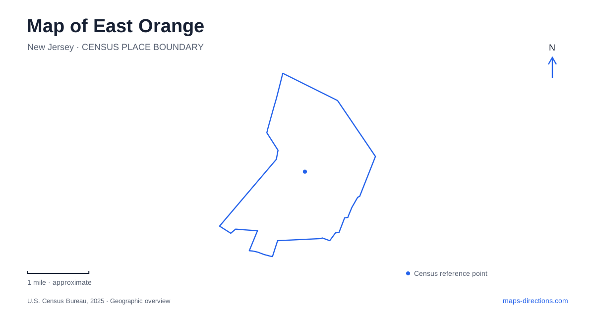
Street tiles load from OpenStreetMap when opened. The blue line shows the 2025 Census boundary.
- State
- New Jersey
- Population · July 2025
- 72,159
- Land area
- 3.9 sq mi
- Water area
- 0.0 sq mi
East Orange's map brings together a dense local street network, two commuter-rail stops, and the meeting of Interstate 280 with the Garden State Parkway. Those transportation systems operate at very different scales. The highways place the city within northern New Jersey, while Main Street, Central Avenue, and neighborhood streets organize everyday destinations. Public parks add open spaces whose locations are best understood through their bordering streets, rather than as isolated green symbols.
City Hall Plaza and Brick Church
East Orange Station is on the Morris & Essex rail network at 65 City Hall Plaza, between North Arlington Avenue and Main Street. This is the station associated directly with the civic center. Brick Church is a separate stop on the same rail network, positioned between South Harrison Avenue and Prospect Street.
The two names matter because they identify different arrival areas within one municipality. A train journey to Brick Church does not end at City Hall Plaza, even though both stations serve local residents and visitors. Main Street and the nearby north-south avenues provide the finer street references needed to connect the railway with an individual destination.
Brick Church also has a history visible in its structure. NJ TRANSIT records the beginning of local rail service in 1836 and the opening of the present station in 1921, after the tracks were elevated. Its brick headhouse entered the National Register of Historic Places in 1984. The station therefore represents a period when separating trains from the street level changed the physical form of the city.
Commercial streets and residential growth
The city's account of its development identifies Main Street and Central Avenue as important commercial corridors. It also describes substantial residential growth during the 1940s and 1950s, including the expansion of apartment living and businesses serving the growing community. These streets should be understood as continuous urban corridors, with many destinations distributed along them, rather than as entrances to a single shopping center.
For a map of East Orange, this gives a useful framework: the rail stations establish regional arrival points, the commercial avenues connect local services, and residential streets extend outward between them. A compact municipal area can still contain distinct neighborhoods because the corridors, rail structures, and parks divide the city into recognizable settings.
Elmwood's street-defined recreation grounds
Elmwood Park is bordered by Elmwood Avenue, Rhode Island Avenue, Freeman Avenue, and Oak Street. The city's recreation inventory places the tennis courts along Rhode Island Avenue and a basketball court at Elmwood Avenue and Oak Street. A swimming pool, walking track, ballfields, and fieldhouse provide additional uses within the park.
Those bordering streets help explain the layout. Someone attending a court activity may approach a different side from a person meeting a group elsewhere in the grounds. The park's identity comes from this combination of facilities within a neighborhood block pattern, rather than from one dominant attraction.
Columbian Park has another clear set of boundaries: Springdale Avenue, North Grove Street, and Fourth Avenue. Its pool, baseball field, basketball courts, and playground make it another multipurpose recreation setting. These two parks show how outdoor facilities are distributed through East Orange instead of being concentrated exclusively in one large central park.
Smaller parks as neighborhood reference points
The city also identifies Oval Park at Eaton Place and Greenwood Avenue, Memorial Park at South Arlington Avenue and Freeway Drive, and Rowley Park at North Arlington Avenue and William Street. The repeated Arlington name is useful, but the north and south designations place facilities in different parts of the street network.
Oval Park's multipurpose athletic field gives the Eaton and Greenwood area a sports focus. Memorial Park's location near Freeway Drive introduces a different urban setting. On a detailed map, these intersections help distinguish recreation destinations that might otherwise appear as similar small patches of green among surrounding blocks.
A county landscape shared with Bloomfield
Watsessing Park extends across both East Orange and Bloomfield. Essex County describes a 69-acre landscape designed by the Olmsted firm, with athletic fields, a bandstand, playgrounds, and other recreation facilities. The splash-park location is on Glenwood Avenue near Dodd Street, while the county's general location reference includes Bloomfield Avenue and Conger Street.
Those different street references make sense because the park spans municipal boundaries. Its history includes expansion into Bloomfield and landscape work by the Olmsted Brothers, with decorative bridges over the Second River forming part of the historic design. The park therefore connects local recreation with a broader county park tradition.
Together, the stations, commercial corridors, neighborhood parks, and shared county landscape provide a practical way to understand the city. Each layer serves a different purpose, and the relationships among them explain how a compact urban place can contain several distinct patterns of movement and public life.
Map and statistics: U.S. Census Bureau, 2025 Gazetteer, January 2025 generalized place boundaries and Vintage 2025 population estimates. Local references: City of East Orange; NJ TRANSIT; Essex County Parks. Article prepared by Maps & Directions.