Map of Eagle Mountain
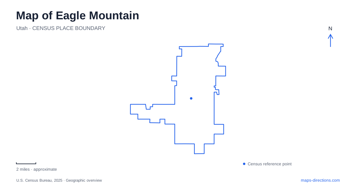
Street tiles load from OpenStreetMap when opened. The blue line shows the 2025 Census boundary.
- State
- Utah
- Population · July 2025
- 66,557
- Land area
- 51.2 sq mi
- Water area
- 0.0 sq mi
Eagle Mountain spreads across a Cedar Valley landscape where neighborhoods, recreation grounds and wildlife routes occupy the same broad setting. Pony Express Parkway and State Route 73 provide important road references, but they do not explain every connection. Historic travel routes, mountain-bike terrain and a protected migration corridor add other layers. Understanding those layers helps distinguish developed public spaces from open land with a different purpose.
Parkway, neighborhoods and a future downtown
The city's parks and open-space mapping identifies the Ranches Gateway area alongside Highway 73 and Pony Express Parkway. It distinguishes developed open space from undeveloped land and shows ownership categories including state and federal holdings. Those categories matter in a growing community: a broad open patch is not automatically a finished municipal park, and a planning boundary is not a trail route.
A particularly important distinction concerns the downtown plan. The city completed a master plan for land directly east of Cory B. Wride Memorial Park, across Pony Express Parkway. It describes small-business-oriented retail, road connections and adjacent conceptual development. The 2025 plan records a vision for a center, rather than an inventory of constructed blocks. Compare established street and facility information with the plan when selecting a destination near the park.
For Eagle Mountain, that means a current street map and a long-range planning map answer different questions. The park is an established destination; the neighboring downtown concept explains a direction for growth. Keeping those layers separate makes the relationship between recreation and future civic development easier to follow.
Parks with distinct recreation roles
Cory B. Wride Memorial Park combines playground facilities, sports courts, fields, pavilions and a splash pad. It also serves as a major gathering place during the annual Pony Express Days celebration. That mix gives the park a community-wide role, extending beyond the needs of one surrounding subdivision.
Mountain Ranch Bike Park has a more specialized purpose. The city's recreation description identifies jump lines, a pump track, a skills area and other riding features. These are designed for cycling practice and progression, rather than simply being another segment of a paved neighborhood path. A rider choosing between an improved shared-use trail and a bike-park session is choosing between different kinds of terrain and activity.
The municipal trail system likewise includes both paved routes and trails intended for activities such as hiking, horseback riding, mountain biking and off-highway vehicle use. A trail map should retain those distinctions. Their coexistence reflects the landscape's range, but it does not imply that every mode belongs on every path.
The Pony Express as history and a local name
The historic Pony Express route passes through Eagle Mountain, and the city preserves that association through mapped trail interpretation and its annual festival. The nineteenth-century mail relay operated for only a short period, yet its name remains unusually prominent in the modern community's roads, events and recreation facilities.
Pony Express Days also demonstrates how one event name can cover several destinations. The city's program places family activities at Nolen Park, carnival and other festivities at Cory B. Wride Memorial Park, and rodeo and demolition-derby events at Pony Express Memorial Arena. These are separate settings serving different parts of the celebration. Their common historical theme should not obscure the distinct geography of the venues.
The city also identifies petroglyphs among the Cedar Valley's important cultural resources. They represent a much deeper human history than the mail route or modern subdivisions. Their preservation is part of understanding the landscape, with respect for the rock surfaces and archaeological setting taking precedence over treating them as casual recreation equipment.
A corridor for animals across the valley
Mule deer move between habitat in the Lake Mountains and Oquirrh Mountains through the Cedar Valley. The city's open-space planning describes how State Route 73 crosses this migration landscape, while development and other roads create additional barriers. This makes the valley a connection between habitats, not merely an empty space between built neighborhoods.
Eagle Mountain worked with Utah wildlife officials to study these movements and established a designated migration corridor. Conservation measures include limiting development in important areas, improving habitat vegetation and drawing attention to crossings. The city's 2025 management plan treats the corridor as part of a wider regional conservation effort involving multiple public agencies and other partners.
That ecological map changes how the open land should be read. A strip preserved between developments may perform a significant seasonal role even when it has few visitor facilities. Together with the historic trail, specialized bike park and evolving downtown plans, the migration corridor gives Eagle Mountain a geography shaped by several kinds of movement: daily travel, recreation, historical passage and the continuing journeys of wildlife.
Map and statistics: U.S. Census Bureau, 2025 Gazetteer, January 2025 generalized place boundaries and Vintage 2025 population estimates. Local references: Eagle Mountain City. Article prepared by Maps & Directions.