Map of Eagan
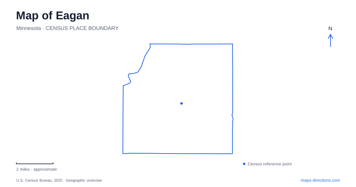
Street tiles load from OpenStreetMap when opened. The blue line shows the 2025 Census boundary.
- State
- Minnesota
- Population · July 2025
- 67,109
- Land area
- 31.2 sq mi
- Water area
- 2.3 sq mi
Eagan's recreation landscape combines art, preserved farm history, and a regional park filled with small lakes. Diffley Road, Lexington Avenue, and Cliff Road provide useful references, but the attractions along them are not interchangeable green spaces. A sculpture park uses wooded slopes as part of an artistic composition; a regional trail network follows lakes and wooded terrain; a historic farm interprets the working life that preceded suburban development. These differences give the map substance beyond its roads and park boundaries.
Diffley Road runs through an art landscape
Caponi Art Park occupies about sixty acres of rolling wooded land at 1220 Diffley Road, between Pilot Knob Road and Lexington Avenue. Its operator describes a setting where trails, sculpture, earthworks, and performances bring art into the landscape. This is not an outdoor collection placed on a level plaza: the wooded hills and shaped ground are part of how the artworks are encountered.
The public parking area is on the south side of Diffley Road, with a pedestrian tunnel connecting to the park's northern portion. That crossing is a particularly useful local map detail because the road divides parts of one destination. Trails within the park are for pedestrians, and bicycles remain outside the walking grounds. The operator also treats the moss and other landscape elements as part of the art. A visit therefore calls for attention to the terrain itself, not just the individual sculptures standing within it.
Lexington Avenue brings nature play and studio activity together
Patrick Eagan Park is listed at 3995 Lexington Avenue South. Its Nature Play Area provides a setting for climbing, digging, balancing on stumps, and imaginative outdoor activity. The city describes it as a response to residents' desire for children to experience less formal play in the outdoors. That purpose differs from an attraction organized entirely around standard sports fields or indoor recreation.
The municipal Art House has also been rebuilt in a design integrated with this park, including restoration toward native oak savanna. The city now identifies the facility as open. Together, the art building and nature-play setting give this part of Eagan an educational character tied to the surrounding land. They should be distinguished from Caponi's separate nonprofit sculpture park on Diffley Road. Both connect creativity with nature, but their facilities, programs, and physical arrangements are different.
Cliff Road serves Eagan visitors to Lebanon Hills
Lebanon Hills Regional Park belongs to Dakota County's park system. Its visitor-center trailhead is at 860 Cliff Road, while the Holland Lake trailhead is at 1100 Cliff Road. Jensen Lake has a separate approach from Carriage Hills Drive. These addresses explain why the park name alone does not describe one universal arrival point.
The county's summer map distinguishes hiking trails, horse trails, paved paths, and a canoe route among the lakes. Schulze, McDonough, Holland, Jensen, and other named waters form a varied landscape rather than one large central lake. A route selected for walking may consequently cross a different portion of the park from a paddling outing or equestrian trip. The map's activity symbols and named trailheads are important because they reveal how the same broad park supports several different networks. Reading those networks separately makes the geography clearer without assuming that every path permits every activity.
Manor Drive preserves a farm's domestic history
Holz Farm is at 4665 Manor Drive. The property was settled in the 1870s and remained in the family until 1993. A community preservation campaign led to municipal purchase in 1995, allowing the farmstead to become a living-history resource instead of disappearing into residential development.
Its interpretation focuses on family farm life from the Great Depression through World War II. Buildings, tours, and programmed events make that period tangible without presenting the site as a continuously operating commercial farm. This gives Eagan a historical counterpoint to its contemporary art and recreation facilities. The landscape was once organized around farm households and productive land; today, preserved sites, wooded art grounds, and regional trails allow different parts of that changing relationship to remain visible on the map.
Map and statistics: U.S. Census Bureau, 2025 Gazetteer, January 2025 generalized place boundaries and Vintage 2025 population estimates. Local references: Caponi Art Park; City of Eagan; Dakota County Parks. Article prepared by Maps & Directions.