Map of Dunwoody
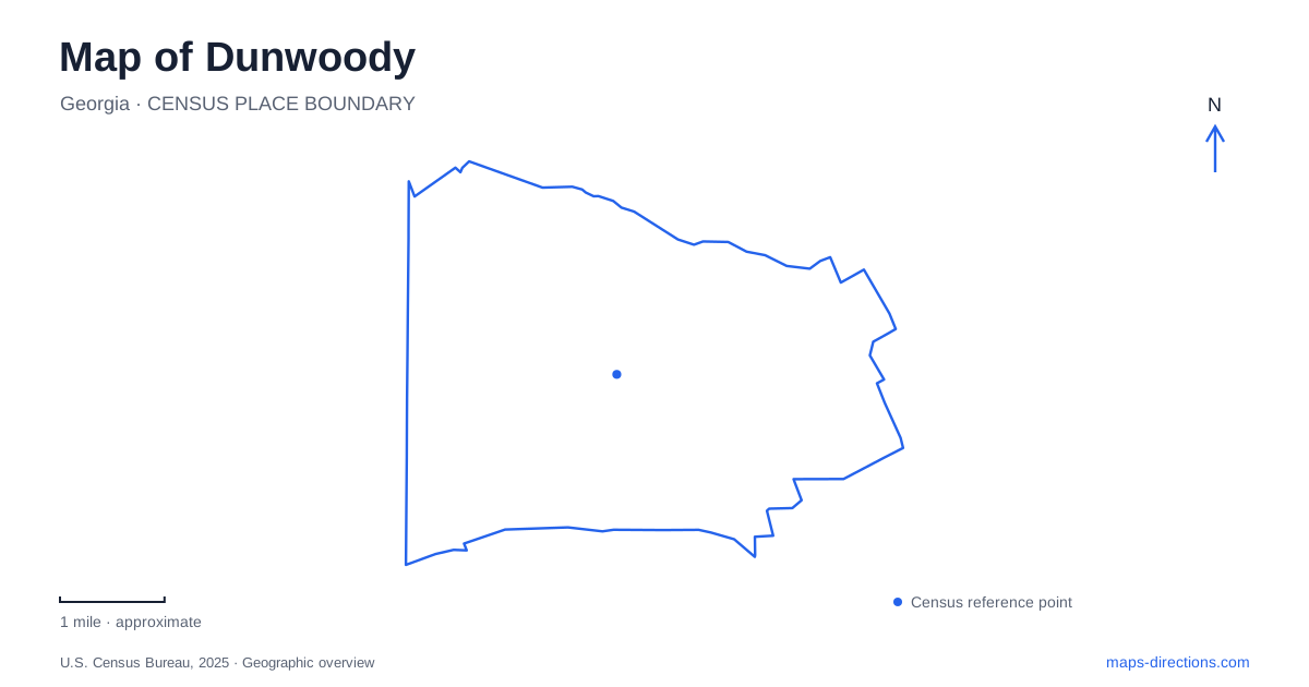
Street tiles load from OpenStreetMap when opened. The blue line shows the 2025 Census boundary.
- State
- Georgia
- Population · July 2025
- 51,792
- Land area
- 13.0 sq mi
- Water area
- 0.2 sq mi
Dunwoody contains several different centers of activity rather than one destination that explains the entire city. Perimeter Center brings rail access and major commercial development together. Brook Run anchors a substantial recreation landscape, while Georgetown connects neighborhood parks with a wider trail corridor. Farther into the residential area, a nature center and a surviving farmhouse provide quieter settings. Reading these places as distinct districts makes a local map much more useful.
Rail arrival at Perimeter Center
Dunwoody station stands at Hammond Drive and Perimeter Center Parkway, beside Perimeter Mall. MARTA identifies it as a Red Line station, with entrances associated with both streets. This places rail arrival directly in a commercial district. It does not make every city park or historic destination part of the same immediate walking area, so the station is best understood as one regional arrival point within a larger local geography.
The corner arrangement matters when meeting someone or continuing toward a nearby building. Hammond Drive and Perimeter Center Parkway provide two clear street references around an elevated station setting. The mall supplies a large landmark, while individual office, retail, and transit destinations occupy their own sites. At this scale, recognizing the street corner is more useful than treating the entire commercial district as one undifferentiated stop.
Brook Run's different recreation areas
Brook Run Park is at 4770 North Peachtree Road. Its grounds combine a playground, skatepark, sports fields, community garden, dog park, and an amphitheater with a Great Lawn. These activities occupy different spaces within a large property. A person attending a concert is using a different part of the park from someone arriving for a ball game or starting a trail circuit.
The multi-use fields have an entrance from Barclay Drive, while pavilion parking is associated with the Peeler Road entrance. Those details give the park a more understandable shape than its main address alone. Roads around the grounds help distinguish the sports and event areas, and the internal path provides another way of seeing how they fit together. A park map is therefore useful even after the surrounding street route is clear.
From Brook Run toward Georgetown
The trail connection continues from Brook Run to Pernoshal Park and onward to Georgetown Park. That relationship creates a recreation corridor extending beyond one property's boundaries. Pernoshal is listed at 4575 North Shallowford Road, making it a distinct intermediate destination as well as part of a longer walk or ride. The sequence lets visitors choose between exploring one park and moving through several connected settings.
At Georgetown, completed gateway improvements extended the trail in both directions along Chamblee Dunwoody Road. The project runs from Interstate 285 to just south of the North Shallowford Road intersection and added a consistent streetscape with wider sidewalks, pedestrian lighting, and street trees. This is a road corridor with a walking and cycling function, differing from the internal recreation loop at Brook Run. Together, the two settings show how a trail network can move between parkland and neighborhood streets.
Forest and learning on Roberts Drive
Dunwoody Nature Center is at 5343 Roberts Drive. Its twenty-two acres include forest, trails, and a playground, with education and conservation shaping the site's purpose. This is a different outdoor choice from the courts and playing fields at Brook Run. The emphasis is on exploring a wooded environment and learning about it, rather than concentrating multiple sports in one location.
The street address and the woodland scale are useful in combination. A visitor can locate the center within the residential road network, then use the internal trails to experience a landscape largely defined by trees rather than neighboring buildings. Programs and independent exploration use the same natural setting in different ways. Keeping the nature center separate from the larger sports park helps match a destination to the kind of outing intended.
A farmhouse within the modern community
Donaldson-Bannister Farm preserves a house dating to around 1870. The city identifies the property as a park managed by its preservation partner, giving the old farmstead a continuing public role. Its historical scale contrasts with Perimeter Center's commercial landscape and the developed recreation areas farther east. The surviving house supplies evidence of a rural past within a much changed suburban setting.
These places offer a practical introduction to Dunwoody. Rail and commercial streets explain regional access; connected parks reveal the recreation network; Roberts Drive leads to woodland education; and the farmhouse adds historical depth. Considering their relationships produces a more informative map than simply choosing the nearest attraction, because each destination represents a different part of the city's landscape.
Map and statistics: U.S. Census Bureau, 2025 Gazetteer, January 2025 generalized place boundaries and Vintage 2025 population estimates. Local references: MARTA; City of Dunwoody; Dunwoody Nature Center. Article prepared by Maps & Directions.