Map of Duluth
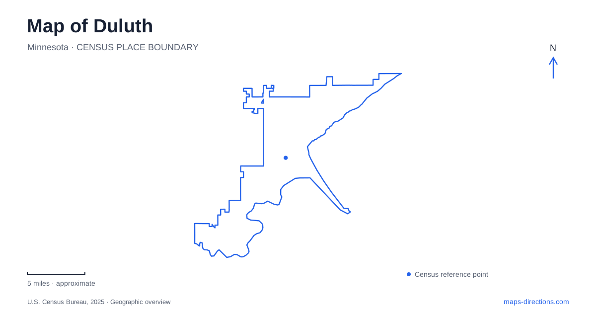
Street tiles load from OpenStreetMap when opened. The blue line shows the 2025 Census boundary.
- State
- Minnesota
- Population · July 2025
- 88,330
- Land area
- 71.7 sq mi
- Water area
- 8.5 sq mi
Duluth meets Lake Superior through several very different edges: a working ship canal, a long public shoreline path, a narrow sandy point and wooded stream valleys. Above the water, the hillside provides another scale of reference. These features explain why a flat street map can conceal important differences between two destinations that appear close together. Start with the harbor and lake, then identify whether a place belongs to the shoreline, the point or the rising ground inland.
The bridge is an adapted piece of engineering
The Aerial Lift Bridge carries Lake Avenue across the ship canal toward Minnesota Point. Its familiar moving roadway was not the original arrangement. The bridge built in 1901–1905 carried a suspended gondola beneath its truss; a major modification in 1929 replaced that traversing platform with an elevating roadway and altered the towers to support the new system. The original truss remains part of the structure.
This history gives the most recognizable landmark in Duluth a practical explanation. The crossing had to accommodate both people traveling to the point and vessels moving through the canal. Its unusual form grew from that conflict of movements. On a map, the bridge is simultaneously a road connection and part of a navigable entrance to the harbor. Its engineering makes sense only when both routes—the one across the water and the one along it—are considered together.
The Lakewalk is a corridor with changing sections
The Lakewalk began in 1986 as a half-mile path. The city now describes nearly eight miles of paved walking and cycling route from Canal Park to Brighton Beach, also called Kitchi Gammi Park. Much of that route follows the Lake Superior shore, making it a valuable reference for the city's eastward waterfront geography. It is a network built through successive extensions, rather than a single project completed all at once.
Coastal improvements and repairs can change how that line functions around Leif Erikson Park. The park's bridge approaches and its Lakewalk connections are separate parts of the walking network, so identify both when planning a visit. A continuous line on an older map does not establish uninterrupted access along the shore. Use the city's trail guidance to connect the intended section with a suitable entrance rather than treating a broad waterfront route as a guarantee about every crossing.
Minnesota Point holds more than a beach
Across the canal, Minnesota Point extends the city's geography into a narrow landform beside the lake. The Minnesota Department of Natural Resources identifies an old-growth pine forest there within its Scientific and Natural Area system. That designation emphasizes protection of natural features, plants and animals rather than the facilities normally associated with a developed recreation park.
The forest adds an ecological dimension to a map of Duluth that the beach alone would miss. Sand, shoreline vegetation and mature pines belong to a connected landscape, even though they may appear under separate labels. The state's account of the preserve describes years of work by neighbors, conservation partners and landowners, including a 1996 community-club funding application to study and protect the forest. Its continued presence reflects deliberate conservation work within a city landform that also supports other uses.
Enger Tower gives the hillside a landmark
Enger Tower was dedicated in 1939 in honor of Bert Enger, a Norwegian-born furniture dealer whose bequest benefited the city. The five-story stone structure stands above the harbor and St. Louis Bay, with viewpoints at several levels. Its location makes it useful for understanding the relationship between the upland neighborhoods and the water below.
The tower's prominence is topographic as well as architectural. A shoreline landmark helps someone follow the edge of the lake; a hillside landmark helps reveal how far the city rises away from it. Comparing the tower's position with the canal crossing shows why elevation is central to Duluth's appearance. Roads that look like short connectors on a plan can be moving between quite different levels of the urban landscape. The park and tower therefore belong in the same mental picture as the harbor, even though they occupy a separate setting.
Lester Park follows two waterways inland
At the eastern end of the city, Lester Park contains more than nine miles of hiking and mountain-biking trails between Amity Creek and the Lester River. The two waterways define a wooded recreation landscape distinct from the paved Lakewalk. Following those names on a map reveals how the city's green spaces extend inland along drainage corridors instead of being confined to the coast.
That distinction brings the larger pattern together. The canal crossing addresses a shipping route, Minnesota Point preserves a narrow shoreline environment, the Lakewalk follows the developed coast, and Lester Park uses a stream-valley setting. Enger Tower supplies the hillside perspective. A map of Duluth is most informative when these landscapes remain recognizable, because each explains a different relationship between the city's streets, public spaces and the water that has shaped them.
Map and statistics: U.S. Census Bureau, 2025 Gazetteer, January 2025 generalized place boundaries and Vintage 2025 population estimates. Local references: Minnesota Department of Transportation; City of Duluth; Minnesota Department of Natural Resources. Article prepared by Maps & Directions.