Map of Draper
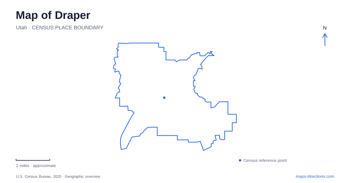
Street tiles load from OpenStreetMap when opened. The blue line shows the 2025 Census boundary.
- State
- Utah
- Population · July 2025
- 50,652
- Land area
- 28.3 sq mi
- Water area
- 0.0 sq mi
Draper spans several landscapes that deserve to be read together: the historic streets near 900 East, the Jordan River corridor, and the foothill trails of Corner Canyon. The town center preserves buildings and parkland associated with settlement and agriculture. The river carries a much older Indigenous history. Higher ground introduces a network where slope, watershed boundaries, and permitted uses matter as much as the names printed beside trails.
The older streets around 900 East
The nineteenth-century settlement was initially known as South Willow Creek. Mountain-fed grassland supported cattle, and Ebenezer Brown's family established a home in the area in 1850. In 1854, Brown provided land for a fort near what is now 12650 South 900 East. The planned walls were never completed, although families used the site during the following winters.
Draper Historical Park now marks that fort location. The park preserves a reference to the early town layout within streets that have since become part of a much larger city. The value of the site on a map is its relationship to the surrounding historic center, rather than the expectation of finding a fully reconstructed frontier fort.
Fort Street, Pioneer Road, and Relation Street contain several properties recognized on the National Register. Among them are the S. J. Mickelsen Hardware Store and Lumber Company on Fort Street and the Joseph E. and Mina W. Mickelsen House on Pioneer Road. These surviving addresses show the proximity of trade, homes, and community institutions in the older settlement.
School and farm buildings tell different stories
Draper Park School stands at 12441 South 900 East. The original portion dates to 1912 and reflects Classical Revival design. Its name honors educator John R. Park, whose teaching became an important part of the community's identity. The school later served as a city hall and community center, showing how a substantial public building could continue to anchor local life after its original role changed.
The Day Dairy Barn represents another side of that history. Its wood construction and agricultural purpose contrast with the formal school facade. The barn was moved to the city park in 2010, preserving a reminder of farming amid a landscape increasingly shaped by residential growth. Its present park setting should be understood as a preservation location, not the original arrangement of the dairy property.
Taken together, the school, barn, and historic houses make the town center more than a collection of old-looking buildings. They represent education, food production, domestic life, and commerce, each with a different relationship to the streets around it.
An older history beside the Jordan River
The Galena–Soo'nkahni Monument stands beside the Jordan River Parkway Trail. Its walkable sundial uses pillars to introduce Utah's eight sovereign Native Nations. The nearby preserve protects evidence of a long-lived Indigenous village, placing the local historical story far beyond the nineteenth-century arrival of settlers.
Archaeological evidence indicates winter occupation from roughly 1000 BC to AD 700. The river offered dependable water, while wetlands and riparian vegetation supplied food and materials. Partly sunken houses and evidence of seasonal resource use help explain why people returned to this setting over many generations. The location's significance comes from the river landscape as a whole, not only the modern monument.
For Draper, this western corridor adds a different geographic perspective from the foothills. The monument has no parking at its immediate location. Access follows the parkway from places such as Jordan River Rotary Park, Vista Station connections, or Arrowhead Trailhead across the river in Bluffdale.
Corner Canyon needs a terrain map
The Corner Canyon network includes Coyote Hollow, Potato Hill, Peak View, Ghost Falls, and connections toward Jacob's Ladder. These are useful names for identifying portions of a large foothill system, but they do not describe equivalent outings. The city's trail map distinguishes paved routes, shared trails, footpaths, and bicycle-specific segments, along with protected watershed areas.
The Bonneville Shoreline Trail provides an especially important reference for dog access. The city allows leashed dogs on specified lower trails while prohibiting them within the protected watershed above. A planned loop can cross that boundary even when its starting trailhead permits dogs, so the whole route needs to match the intended activity.
Highland Drive and Traverse Ridge Road also appear in the trail network through designated grade-separated crossings. Those connections help explain how developed roads and open space meet without making every visible road crossing an informal trail route. A map of Draper is most revealing when the historic street grid, river corridor, and foothill terrain remain distinct but connected parts of the same place.
Map and statistics: U.S. Census Bureau, 2025 Gazetteer, January 2025 generalized place boundaries and Vintage 2025 population estimates. Local references: City of Draper. Article prepared by Maps & Directions.