Map of Downey
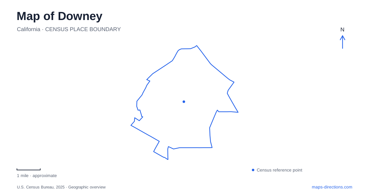
Street tiles load from OpenStreetMap when opened. The blue line shows the 2025 Census boundary.
- State
- California
- Population · July 2025
- 108,468
- Land area
- 12.4 sq mi
- Water area
- 0.2 sq mi
Downey's map records a transition from an agricultural business center to aerospace manufacturing and, later, a mixture of civic, commercial, and educational destinations. Firestone Boulevard remains an important central reference, but the former aerospace property creates a second major cluster farther south. Brookshire Avenue identifies municipal institutions, Columbia Way leads to the space center and sports grounds, and neighborhood parks add other useful anchors. These named corridors help explain the city through its own development rather than treating it as an anonymous space between regional freeways.
The older business center and civic streets
The intersection of Downey Avenue and Firestone Boulevard marks the historic commercial focus described by the local chamber of commerce. Early businesses gathered here as the surrounding area developed from agricultural land. The civic-center master plan also preserves older street names: the avenue was once Crawford Street, while Brookshire Avenue was formerly Church Street. Those changes matter when comparing historical photographs or maps with the present street network.
The downtown grid includes La Reina Avenue, Dolan Avenue, Third Street, and Fifth Street. They provide a finer framework around the larger roads and help separate individual blocks within the center. Firestone and Paramount boulevards serve broader movement, while the smaller named streets organize local access. This hierarchy explains why an address on a major boulevard and an address within the civic district can belong to the same general area but involve different approaches.
City Hall stands at 11111 Brookshire Avenue, with the city library at 11121 on the same street. The theater uses 8435 Firestone Boulevard, and its visitor information places the box office behind the restaurant at the boulevard frontage. These addresses make the civic cluster concrete: government, reading and community programs, and live performance occupy neighboring destinations with distinct street references. For downtown Downey, the combination of Brookshire and Firestone is therefore more informative than a single generalized center point.
Columbia Way and the aerospace site
The Columbia Memorial Space Center at 12400 Columbia Way occupies part of the former NASA industrial property. The city identifies Columbia Way as the former Clark Avenue, an especially useful detail when an older address appears in historical material. Opened in October 2009, the center commemorates the crew of the Columbia shuttle and provides hands-on science education in a two-story building.
Its surrounding geography is documented clearly in municipal project material. Discovery Park lies to the east, the shopping development lies across Congressman Steven Horn Way to the north, and residential uses stand across Columbia Way to the west. This gives the site a readable neighborhood context rather than leaving the museum isolated within a large redevelopment label. Sports grounds, commercial blocks, housing, and the educational building meet around a property with an industrial past.
The wider former aerospace site was reorganized into commercial centers, a hospital and medical-office complex, and the space-center and sports area. On a map, that history explains the scale of the blocks and the concentration of substantial destinations. It also explains why aerospace references continue to appear amid much newer development. The surviving institutional memory belongs to the manufacturing site, even though many current visitors arrive for shopping, medical appointments, or recreation.
Parks with distinct local addresses
Rio San Gabriel Park uses 9612 Ardine Street. The city lists ball diamonds, a basketball court, picnic shelters, and a play area, with the David R. Gafin Dog Park in its southeastern section. That internal location helps distinguish a particular facility from the park as a whole. The dog area has separate sections within a fenced enclosure, while the surrounding grounds serve several other recreational activities.
Wilderness Park is a different destination at 10999 Little Lake Road. The municipal recreation inventory identifies two lakes and internal trails there. Its parking information distinguishes northern and southern lots, reinforcing that this is a park with more than one arrival area. These details provide a useful comparison with Rio San Gabriel's playing fields and neighborhood facilities: similar green map symbols conceal different layouts and recreational purposes.
Connecting the city's different eras
A practical map of Downey can therefore be organized around three kinds of place. Firestone and the civic streets preserve the older commercial and institutional center. Columbia Way and Congressman Steven Horn Way identify a large former aerospace property reshaped for education, recreation, commerce, and health care. Ardine Street and Little Lake Road locate parks with their own internal geography. Reading these places together reveals Downey as a city whose street names and destination clusters still explain the changes in its economy and public life.
Map and statistics: U.S. Census Bureau, 2025 Gazetteer, January 2025 generalized place boundaries and Vintage 2025 population estimates. Local references: Downey Chamber of Commerce; City of Downey; Downey City Library; Downey Theatre. Article prepared by Maps & Directions.