Map of Downers Grove
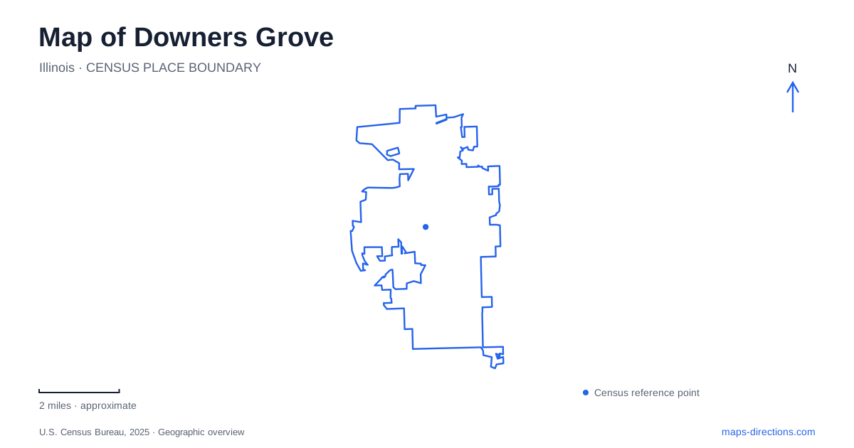
Street tiles load from OpenStreetMap when opened. The blue line shows the 2025 Census boundary.
- State
- Illinois
- Population · July 2025
- 50,365
- Land area
- 14.7 sq mi
- Water area
- 0.1 sq mi
Downers Grove's map has a strong railway center, but its identity also rests in preserved houses, woodland, and a remnant prairie. Main Street and Burlington Avenue provide a starting point for understanding downtown. Maple Avenue leads to a museum campus that interprets different periods of domestic life. Farther from the center, Lyman Woods and Belmont Prairie preserve landscapes with very different forms. These places give the village a pattern that is more specific than the general image of a Chicago suburb.
The railway helped establish downtown
The original station was completed in 1864 at the northwest corner of today's Main Street and Burlington Avenue. It supported the movement of farm products and helped draw commercial development toward the railway. Samuel Curtiss's subdivision became part of the growing business district, linking the development of streets and buildings with access to regional markets.
A new passenger station followed in 1911. The older building continued handling freight until it was later removed. That separation between passengers and goods is important to the story: the downtown station was not only a place for commuters, but part of a transportation system serving the surrounding agricultural economy.
Metra's BNSF corridor now provides the regional rail connection, with Main Street, Fairview Avenue, and Belmont identifying separate local stops. The sequence places Fairview east of the central station and Belmont to the west. A map of Downers Grove should preserve those distinctions, since a train arrival at one station creates a different neighborhood starting point from an arrival at another.
Maple Avenue's historical campus
Wandschneider Park, at 831 Maple Avenue, contains the museum campus. Its buildings include the 1846 Israel Blodgett House, the 1892 Victorian Blodgett House, and the Montrew Dunham History Center. The campus layout makes it possible to consider several generations of local history in one setting rather than assigning every exhibit to a single old house.
The Victorian residence belonged to Charles Blodgett and interprets life in the 1890s. The earlier house, built by Israel and Avis Blodgett, introduces a different period and the family's abolitionist beliefs. In 2023, that house joined the National Underground Railroad Network to Freedom. The recognition places a local building within a broader history of resistance to enslavement.
The park also includes a Wildflower Walk and heritage vegetable garden. These outdoor elements complement the houses by introducing cultivated and planted space into the visit. Wandschneider's name honors Pauline Wandschneider, who collected and preserved community history and helped establish a permanent home for the materials. For Downers Grove, the campus is both a collection of historic properties and a record of local preservation work.
Lyman Woods preserves varied terrain
Lyman Woods is reached at 901 31st Street, with the William F. Sherman Interpretive Center providing a clear reference point. Oak woodland, prairie, and marsh occur within the preserve. Three kames, hills formed from glacially deposited gravel, introduce relief and help explain why the landscape is more varied than a simple woodland symbol on a map suggests.
The Lyman family connection began in the nineteenth century, but public protection came much later. An initial major acquisition preserved land in 1987. A closely decided referendum in 1996 supported protection of additional ground near Highland Avenue and 31st Street. The interpretive center followed in 2003, creating a place for education within the protected landscape.
These decisions shaped the present map of Downers Grove by retaining connected natural land where residential and office development had been proposed. The trails now offer a way to observe the relationship between higher gravelly ground, wooded areas, and wetter habitat without leaving the village's developed surroundings.
Belmont Prairie is a different kind of open space
Belmont Prairie lies west of Belmont Golf Club near Haddow Avenue and Cross Street. A small parking area on Cross Street serves the nature trail. Unlike a manicured sports field or a restored ornamental garden, the site retains native prairie habitat, making its grasses and seasonal plants central to the visit.
Its modern preservation story began when Alfred and Margaret Dupree showed a photograph of a prairie wildflower to an expert at the Morton Arboretum in 1970. Investigation identified a surviving native plant community, and conservation efforts followed. The preserve's pedestrian route allows close observation, while bicycles and dogs are not permitted within this protected area.
The contrast with Lyman Woods is useful: one site offers woodland, wetland, and glacial hills, while the other preserves a smaller prairie remnant beside the golf landscape. Along with the railway center and Maple Avenue houses, these open spaces give Downers Grove a map grounded in transportation, family history, and deliberate conservation choices.
Map and statistics: U.S. Census Bureau, 2025 Gazetteer, January 2025 generalized place boundaries and Vintage 2025 population estimates. Local references: Village of Downers Grove; Metra; Downers Grove Park District. Article prepared by Maps & Directions.