Map of Dover
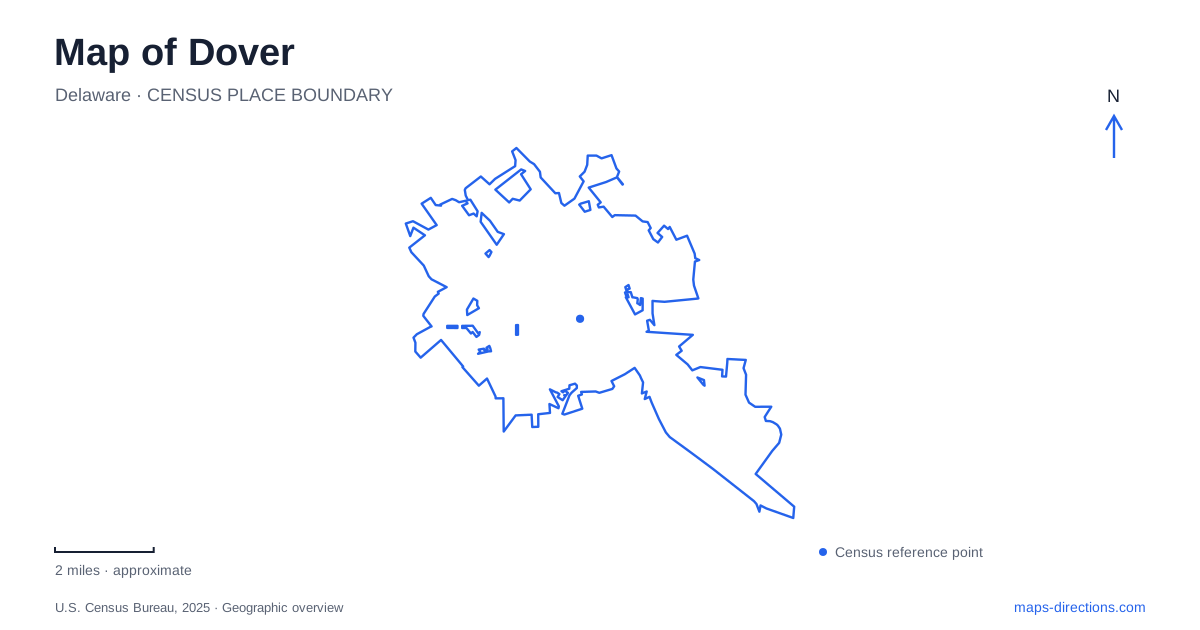
Street tiles load from OpenStreetMap when opened. The blue line shows the 2025 Census boundary.
- State
- Delaware
- Population · July 2025
- 40,592
- Land area
- 23.9 sq mi
- Water area
- 0.3 sq mi
Dover, Delaware, has a historic center small enough to read building by building, yet its public destinations extend well beyond the Green. The statehouse, present legislative building, a museum devoted to recorded sound, and major recreation parks belong to different parts of the map. Understanding their relationship begins with the early settlement beside the St. Jones River, then follows the growth of government and community life outward from the original public square.
The Green as the town's original organizing space
The Green was laid out in 1717 following William Penn's specifications. Its position on high ground beside the navigable St. Jones River linked the settlement to the Delaware Bay, while the King's Highway supplied an overland route between Philadelphia and Lewes. Water and road transport therefore help explain the location of the historic center rather than merely adding scenery to it.
The square originally served courthouse business and attracted taverns, tradespeople, and residences. Today its individual addresses are a useful way to explore that history. John Bell House at 43 The Green serves as an interpretive center for First State Heritage Park. The Old State House occupies 25 The Green. These are specific buildings within a broader historic setting, so the Green is best understood as a collection of places around a public space rather than a single museum property.
Two statehouses with different roles
The Old State House was completed in 1791 and originally accommodated both state and Kent County government. Its first floor contains an eighteenth-century-style courtroom, while the former legislative chambers occupy the second floor. That arrangement makes the building itself a guide to the overlapping county and state responsibilities of the early capital.
Government in Dover later expanded beyond this Georgian building. The General Assembly moved to Legislative Hall in 1933, and its present address is 411 Legislative Avenue. The old building remains a historic museum, while the newer one is the working home of the legislature. This is an important distinction when planning around the word capitol: a history tour and attendance at current legislative proceedings lead to different destinations, even though both belong to the state's governmental center.
A local story told through recorded sound
At 375 South New Street, the Johnson Victrola Museum introduces a subject quite different from courts and legislatures. It interprets Eldridge Reeves Johnson and the Victor Talking Machine Company, founded in 1901. Johnson grew up in Dover, trained as a machinist, and helped develop a spring motor that could turn recorded discs at a steady speed without constant hand cranking.
Phonographs, recordings, trademarks, and other objects explain how that mechanical work became a major business in sound reproduction. The museum's presence widens the historical map from political institutions to technology and enterprise. Its location on South New Street also gives the collection an identity apart from the buildings facing the Green. Confirm gallery admission with the state museum before planning an interior visit; the historical association and South New Street location remain useful for understanding the surrounding city.
Silver Lake's water and park paths
Silver Lake Park offers a larger outdoor setting within Dover. Its lake supports fishing and boating, while paved paths, picnic facilities, and playground equipment provide activities on land. The park's scale and open water create a different experience from the shaded public square at the historic center.
Two established approaches come from Washington Street and Kings Highway. Keeping both street names visible helps explain the park's connection to the surrounding neighborhoods. Someone meeting near a pavilion or approaching for boating is using the same broader recreation area for a different purpose. The lake and paths should consequently be read together, with the chosen activity determining which part of the park matters most for arrival and movement.
Schutte Park and the recreation center
Schutte Park, at the North Street and Mifflin Road area, is organized around athletics. Multipurpose fields, lighted softball fields, walking paths, and a cross-country course distinguish it from the lake park. The John W. Pitts Recreation Center adds indoor courts, meeting rooms, and a walking track. The Little League complex occupies the rear portion of the larger park setting.
This concentration makes Schutte a major community sports destination rather than an extension of the historic sightseeing district. A map of Dover becomes more informative when these contrasting functions remain visible: the Green preserves the early civic pattern, Legislative Hall continues the business of government, South New Street tells an industrial innovation story, and the large parks support daily recreation. Together they show a capital whose geography is shaped by ordinary community uses as well as its state-level institutions.
Map and statistics: U.S. Census Bureau, 2025 Gazetteer, January 2025 generalized place boundaries and Vintage 2025 population estimates. Local references: Delaware Historical and Cultural Affairs; Delaware General Assembly; City of Dover. Article prepared by Maps & Directions.