Map of Dothan
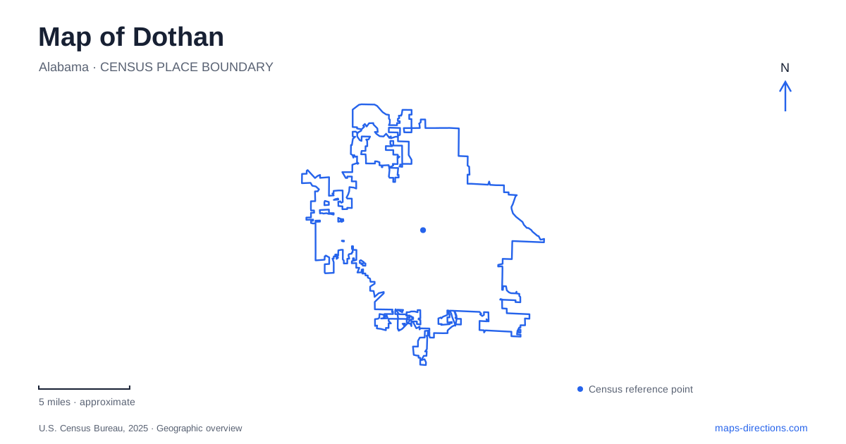
Street tiles load from OpenStreetMap when opened. The blue line shows the 2025 Census boundary.
- State
- Alabama
- Population · July 2025
- 72,060
- Land area
- 90.4 sq mi
- Water area
- 0.3 sq mi
Dothan presents several different versions of the Wiregrass region within one local map. Downtown murals interpret industry and community life on building walls, museums reuse structures with earlier civic purposes, and Landmark Park gathers rural heritage in a larger outdoor setting. Farther from the central blocks, Beaver Creek's wooded trails introduce wetlands and changing terrain. These places work best as distinct parts of an exploration rather than as interchangeable stops under a general list of attractions.
Foster Street and the outdoor history gallery
The downtown mural program began in the early 1990s as businesses were moving toward Ross Clark Circle and the historic center needed renewed attention. The initial “Salute to the Peanut Industry” mural on the Liddon Furniture building connected agricultural history with a downtown commercial landmark. Later works expanded the subjects to people, industries, music, and civic life.
North Foster Street is an important reference for this collection. “Early Commerce in the Wiregrass” depicts turpentine, cotton, logging, and rail transportation. The subjects explain how different kinds of production depended on moving goods through the region. Rather than presenting agriculture as one isolated theme, the murals show its connections with transport and other industries.
For a visitor to Dothan, this creates a history experience spread through ordinary downtown blocks. The surrounding buildings and streets remain active parts of the setting. A mural's title identifies the story, while its street location explains how that story fits within a larger walk through the center.
Museums in buildings with earlier purposes
The Wiregrass Museum of Art occupies 126 Museum Avenue in the historic Municipal Light and Water Plant. Its galleries and educational programs bring contemporary visual art into a building associated with the city's utilities. This pairing gives the visit two layers: the work currently on display and the earlier public function of the structure containing it.
The George Washington Carver Interpretive Museum is at 305 North Foster Street in a former Greyhound bus station. Its focus on African-American contributions to arts and sciences gives it a different subject from the art museum, while its reused transport building adds another connection between cultural activity and urban history.
These institutions help make downtown Dothan more than an outdoor mural collection. They also show that the historical meaning of a place can survive a change of use. A former utility plant and a former bus station now serve audiences who may arrive primarily for art or interpretation, yet the buildings retain a relationship to the practical systems that once supported the city.
Rural heritage at Landmark Park
Landmark Park is a separate, larger destination at 430 Landmark Drive, approached from the Highway 431 North area. The park presents an 1890s living-history farm alongside historic buildings, nature trails, and an elevated boardwalk. Its collection includes Brown's Crossroads School, Headland Church, Martin Drug Store, the Shelley Store, Watson Cabin, and Waddell House.
Those names indicate the breadth of the rural landscape being interpreted. A school, church, store, and home represent different activities that supported community life. Seeing them together allows a visitor to consider farming as part of a wider social setting, rather than only as crop production or machinery.
The outdoor scale also changes the visit. Unlike a downtown gallery contained within one building, the park distributes its subjects among structures and open land. On a map of Dothan, Landmark Park should therefore remain a distinct outing with its own internal layout, not a continuation of the Foster Street museum cluster.
Beaver Creek and the Forever Wild trails
Forever Wild Trails at Beaver Creek occupies about 400 acres between Flowers Chapel Road and Fortner Street. The city describes more than 14 miles of wooded trails, including short loops and more demanding mountain-bike routes. Bridges through wetland areas reveal terrain that a simple road map may obscure.
The trailheads provide specific approaches to this landscape: the city lists access at 384 Narcisse Drive and at 4276 and 3636 Fortner Street. Those separate locations allow a visit to begin in different parts of the system. The network's rolling single-track routes and wetland crossings offer an outdoor experience very different from walking level downtown blocks or moving between heritage buildings.
This is another useful distinction within Dothan. Nature trails, a living-history park, and a mural walk all involve being outside, but their surfaces, distances, and reasons for visiting differ substantially. Choosing the setting first gives the map a clear purpose.
Taken together, Museum Avenue, North Foster Street, Landmark Drive, and the Fortner Street trail approaches reveal a city with several cultural and natural landscapes. The relationships among them connect public art, reused civic buildings, rural community history, and protected woodland without reducing the area to its most familiar agricultural symbol.
Map and statistics: U.S. Census Bureau, 2025 Gazetteer, January 2025 generalized place boundaries and Vintage 2025 population estimates. Local references: Visit Dothan; Wiregrass Museum of Art; Landmark Park; City of Dothan. Article prepared by Maps & Directions.