Map of Doral
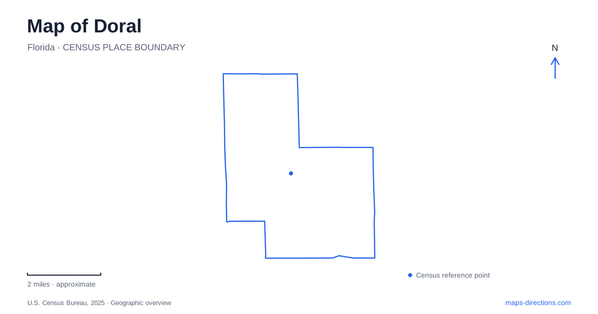
Street tiles load from OpenStreetMap when opened. The blue line shows the 2025 Census boundary.
- State
- Florida
- Population · July 2025
- 81,634
- Land area
- 13.8 sq mi
- Water area
- 1.2 sq mi
Doral's map rewards attention to the complete street name. NW 53rd Street and NW 53rd Terrace are different addresses, just as NW 98th Place is not interchangeable with NW 97th Avenue. This numbered network contains a civic and cultural cluster, large recreational properties, and residential districts connected by local trolley routes. The numbers help organize a visit, but the road type and the particular destination explain the final approach.
The civic cluster around NW 53rd
The Government Center is at 8401 NW 53rd Terrace. Nearby, the Cultural Arts Center uses 8363 NW 53rd Street, while Downtown Doral Park is listed at 8395 NW 53rd Street. The shared number makes this a recognizable civic district, but the distinction between Street and Terrace remains important when describing a meeting point or a particular building.
The arts center's municipal project report identifies it as adjacent to the Government Center. Its facilities include gallery space, a multipurpose room, a courtyard, and a rooftop plaza. That combination gives the building several kinds of interior and exterior activity space. The adjacent park supplies a separate outdoor destination rather than simply another name for the gallery grounds.
These addresses make it possible to read the cluster without assuming that every civic function occupies the same building. A government appointment belongs to the Terrace address. An exhibition or arts program belongs to the Street address. A gathering in the park should use the park's own name. The relationship is close and coherent, yet the individual places remain distinct.
Central Park and its lake landscape
Doral Central Park is a separate destination at 3005 NW 92nd Avenue. The current municipal directory uses this address for both the park and the Aquatic Center. Older project material and third-party listings can still show a NW 87th Avenue address, so the contemporary municipal entry is the better reference for identifying the developed recreation campus.
The city describes a 78-acre park with green space, lake views, and an amphitheater. The parks-bond project overview places approximately 21 acres within the lake. That proportion explains why the water is a major organizing feature rather than a small decorative pond: recreational spaces occupy a landscape shaped around a substantial central water area.
The park and the downtown civic cluster should therefore be kept separate on an itinerary. The words “central” and “downtown” may sound interchangeable in an unfamiliar city, but here they identify different properties and different numbered-road settings. One is a large recreation campus near NW 92nd Avenue; the other groups government, arts, and park addresses around NW 53rd Street and Terrace.
A northern park with a different approach
Doral Glades Park is listed at 7600 NW 98th Place. The city describes its broader setting along NW 74th Street between NW 97th and NW 107th avenues. Both pieces of information are useful: the numbered avenues locate the district, while the Place address identifies the destination within it.
The approximately 25-acre property combines a nature center, fishing pier, kayak launch, walking route, open lawn, and sports facilities. That mix makes it more than an isolated patch of green on the map. A nature-focused visit and a court-based activity can share the same park while concentrating on different facilities.
Its address also provides a concrete example of why abbreviated directions can be confusing. “Near 98th” omits the distinction between an avenue and a place, while “off 74th” describes a broader corridor. Retaining both the official address and the larger cross-road setting gives the park a clear position in the northern street network.
Connecting local districts to regional rail
The municipal trolley plan describes routes that connect different parts of the city rather than one simple downtown loop. Its commercial connector links central and eastern business areas with Palmetto Metrorail station. A separate residential connector serves the northwestern residential area and the same rail station, which the plan explicitly places outside the city limits.
Another route follows the NW 107th Avenue corridor toward Florida International University's Engineering and Modesto A. Maidique campuses. These destinations explain why a trolley map extends beyond the immediate civic district. The service is both local transportation and a way to reach institutions and regional transit outside the municipal core.
Doral becomes clearer when these relationships are read together: precise Street and Terrace addresses distinguish the civic buildings, NW 92nd Avenue identifies the major lake park, NW 98th Place locates the northern nature-and-recreation property, and trolley corridors connect residential and commercial areas with regional destinations. The result is a map organized by actual places and connections rather than by similar-sounding names alone.
Map and statistics: U.S. Census Bureau, 2025 Gazetteer, January 2025 generalized place boundaries and Vintage 2025 population estimates. Local references: City of Doral; City of Doral Parks Bond Program. Article prepared by Maps & Directions.