Map of Diamond Bar
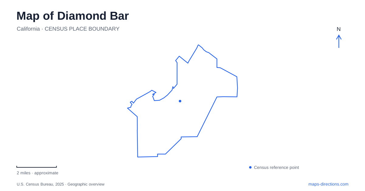
Street tiles load from OpenStreetMap when opened. The blue line shows the 2025 Census boundary.
- State
- California
- Population · July 2025
- 51,884
- Land area
- 14.9 sq mi
- Water area
- 0.0 sq mi
Diamond Bar occupies a landscape of ridges, canyons, and residential neighborhoods in southeastern Los Angeles County. State Routes 57 and 60 provide major regional approaches, but the local map becomes much more revealing when hills and open spaces are visible. Streets reach individual neighborhoods while trails cross a different set of contours. A short distance on the screen can include a substantial climb, and a broad green area may contain several routes with different views and terrain.
A planned boulevard through the hills
The community's development plan was adopted in 1958, followed by utility construction and homebuilding. The plan organized roads around Diamond Bar Boulevard and included neighborhood shopping, schools, parks, and a public golf course. This history helps explain a city built around a network of suburban destinations rather than a single old commercial square. The main roads supply continuity, while smaller streets branch toward individual residential areas.
Grand Avenue and Golden Springs Drive provide additional named references. They appear repeatedly in park and facility addresses, making them useful starting points for learning the local layout. Their importance is practical as well as geographical: a visitor can first identify the relevant corridor, then examine the hillside streets or park paths around the destination. Terrain explains much of the space between those corridors.
Summitridge and the community center
Diamond Bar Center is at 1600 Grand Avenue in the Summitridge Park setting. City Hall is a separate destination at 21810 Copley Drive. Recognizing these two civic addresses avoids combining event and recreation facilities with municipal offices simply because both carry a city identity. The center's relationship with the park places community gatherings alongside a larger open-space landscape.
Summitridge's trail system includes the Ridge Route, Canyon Loop, and Grand View Route. The city's environmental documentation places the Ridge Route north of the Canyon Loop and Grand View to its south. This ordering makes the names more useful than a list alone: they describe different parts of a connected hillside system. The canyon routes occupy a setting of coastal sage scrub, oak woodland, and walnut woodland rather than a uniformly landscaped park.
Access also comes from neighborhood streets, including Clear Creek Canyon Road, Peak Court, and Dare Court. Those connections explain why a trail may appear behind homes far from the community center. The network can be approached from more than one direction, and the chosen starting point changes the sequence of climbs and views. For an unfamiliar walk, selecting the route and trailhead together provides a clearer plan than choosing the park name alone.
Sycamore Canyon follows a creek
Sycamore Canyon Park is at 22930 Golden Springs Drive. Its trail begins in the undeveloped area south of the lower parking lot and travels above a creek, with shade from sycamore and oak trees along part of the route. Farther up, the path reaches woodland habitat and eventually a staircase near the boulevard. This progression from lower parkland to hillside is the defining geographical feature of the walk.
The city documents steep sections, including grades reaching twenty-two percent. That is a meaningful difference from a level paved circuit, even though both might be described casually as a park walk. The creek corridor also supports vegetation that differs from the more exposed slopes. Reading the canyon shape and elevation along with the trail line gives a better sense of the outing than relying only on its total distance.
Pantera and the neighborhood recreation pattern
Pantera Park, at 738 Pantera Drive, combines developed recreation areas with undeveloped land. Ball fields, tennis and basketball courts, a dog park, and a trail occupy different parts of the site. This arrangement shows how Diamond Bar's parks often provide both organized activity and a connection to surrounding hills. The developed grounds are only one component of the property.
Other addresses reveal the spread of neighborhood facilities: Heritage Park and its community center are on South Brea Canyon Road, while Peterson Park and the skatepark are on East Sylvan Glen Road. These are separate recreation destinations within the city's wider street network. They help explain why choosing a particular activity naturally leads to a particular neighborhood rather than one central park serving every purpose.
Reading roads and contours together
A map of Diamond Bar becomes more informative when the major road corridors and the smaller trail systems remain visible at the same time. Grand Avenue helps locate the community center; Golden Springs Drive leads toward the creekside park; Pantera Drive identifies a sports and neighborhood recreation setting. The ridges between these places explain their different character and give the city's suburban geography a clear physical structure.
Map and statistics: U.S. Census Bureau, 2025 Gazetteer, January 2025 generalized place boundaries and Vintage 2025 population estimates. Local references: City of Diamond Bar. Article prepared by Maps & Directions.