Map of Des Moines
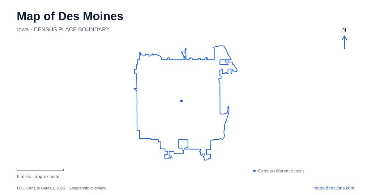
Street tiles load from OpenStreetMap when opened. The blue line shows the 2025 Census boundary.
- State
- Iowa
- Population · July 2025
- 212,086
- Land area
- 88.2 sq mi
- Water area
- 2.6 sq mi
A map of Des Moines brings together a state-government center, a riverfront downtown and an unusually substantial network of nearby public landscapes. The Iowa Capitol anchors the eastern side of the central area, while Western Gateway Park gives the opposite side a recognizable cultural landmark. South and southwest, the map opens into lake paths and Raccoon River woodland. These places work at different scales: a few downtown blocks, a neighborhood between civic landmarks, and a park landscape measured in hundreds of acres.
From the Capitol toward the river
The Historic East Village occupies the area between the Iowa State Capitol and the Des Moines River. Its position makes the neighborhood a useful connection between government buildings and the downtown river crossings. Shops and restaurants inhabit an urban district rather than a single enclosed visitor complex, so the streets themselves are part of the experience.
The Capitol was built between 1871 and 1886, with government offices entering the building in stages. The General Assembly first met in the new chambers in 1884; the governor and other officials moved into their offices in 1885, and the Supreme Court Chamber was dedicated the following year. Those dates explain why references to the building's opening do not always use the same year.
A large gilded central dome and four smaller corner domes give the building its distinctive outline. Its official address is 1007 East Grand Avenue. On the map, the Capitol and East Village form a clear eastward extension of the central city, rather than an outlying state complex disconnected from downtown life.
Crossings that make the waterfront a circuit
The Principal Riverwalk connects the east and west sides of downtown with paths and two pedestrian bridges. Tourism materials describe a 1.2-mile recreational route, although a longer walking itinerary may include nearby attractions and additional streets. This is a useful distinction when comparing a named riverwalk with a route someone has assembled around it.
The Women of Achievement Bridge opened in 2010 to recognize Iowa women with lasting historical contributions. Its 434-foot crossing includes a glass section through which visitors can see the river below. The Robert D. Ray Asian Gardens provide another waterfront landmark, commemorating the governor's support for Southeast Asian refugees and celebrating the state's Asian American communities.
The Des Moines River therefore acts as both a divider and a shared public space. Walking across it changes the viewpoint on the central districts, while the riverbank route links those viewpoints into a continuous outing. The bridges are especially useful orientation points because their purpose and alignment differ from the road crossings.
Sculpture in the Western Gateway
The John and Mary Pappajohn Sculpture Park opened in 2009 on 4.4 acres within Western Gateway Park. Monumental works donated by the couple stand among paths, trees and gently rolling landforms designed by Diana Agrest, Mario Gandelsonas and RDG Planning and Design. The landscape is part of the presentation: open lawns and changing ground levels provide space to view works from several directions.
The park's address is 1330 Grand Avenue. It belongs to the program of the Des Moines Art Center, whose main museum address is 4700 Grand Avenue. That shared street name and institutional connection can obscure the separation between the downtown outdoor collection and the main museum. A route that includes both should show two stops, with the sculpture park grouped naturally with the Western Gateway.
From the riverwalk to Gray's Lake
Meredith Trail connects the downtown riverwalk area with the southeast side of Gray's Lake Park. It extends the central walking and cycling network into a landscape organized around water rather than city blocks. The lake park includes a surrounding path, picnic areas, a public beach and a pedestrian bridge that offers views toward the skyline.
This connection makes the lake relevant to a downtown map even though it sits south of the central commercial area. A visitor following the trail experiences a gradual change from built riverfront to a broader recreational setting. The lake bridge belongs to that trail network; park rules prohibit jumping or fishing from the pedestrian and bicycle bridges.
The larger landscape beyond Fleur Drive
Water Works Park lies west of Gray's Lake, following the Raccoon River. Its approximately 1,500 acres include riverside woodland, trails and event spaces. The park foundation lists its address as 2201 George Flagg Parkway, at the Fleur Drive and George Flagg Parkway corner southwest of downtown.
The Lauridsen Amphitheater and Killinger Family Stage occupy identifiable gathering areas within this much larger setting. Their lawns and parking areas are useful landmarks when the purpose of a trip is a performance. For a broader exploration of Des Moines, the park's river landscape adds a different dimension to the Capitol, neighborhood streets and sculpture lawns: the central city has both a compact civic geography and extensive open space close beside it.
Map and statistics: U.S. Census Bureau, 2025 Gazetteer, January 2025 generalized place boundaries and Vintage 2025 population estimates. Local references: Historic East Village; Iowa Legislature; Catch Des Moines; Des Moines Art Center; City of Des Moines; Water Works Park Foundation. Article prepared by Maps & Directions.