Map of Denver
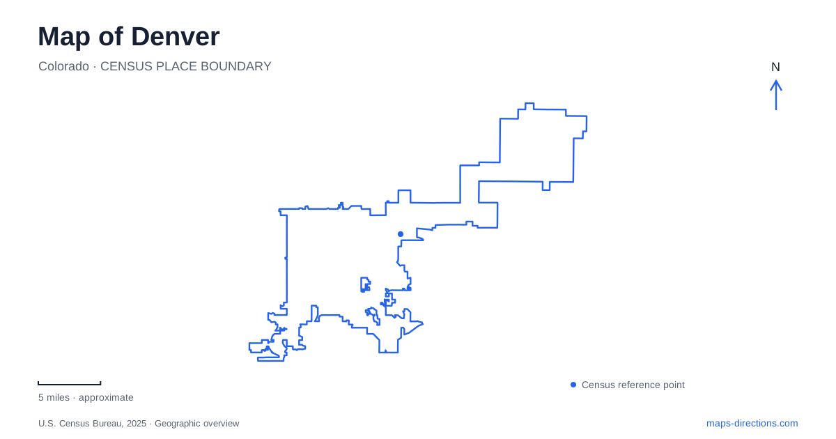
Street tiles load from OpenStreetMap when opened. The blue line shows the 2025 Census boundary.
- State
- Colorado
- Population · July 2025
- 740,613
- Land area
- 153.1 sq mi
- Water area
- 1.7 sq mi
Denver's central map is shaped by a meeting of waterways, a historic rail district and several neighborhood corridors with distinct identities. The South Platte River and Cherry Creek meet at Confluence Park, while Union Station provides a major transport anchor nearby in the downtown area. Five Points, RiNo and Cherry Creek add different street patterns and histories beyond that core. These relationships explain more about the city than its broad reputation as a gateway to the mountains.
Union Station links the center to the airport corridor
RTD's A Line connects Union Station with the airport through intermediate stations including 38th and Blake, Central Park and Peoria. The line's station sequence shows that the airport journey crosses a substantial part of the metropolitan landscape rather than simply moving across downtown. Union Station is the city-center end of that connection and a useful reference for locating a central stay or onward trip.
A Denver map can show the rail route alongside the downtown districts without implying that every central venue stands next to the station. The distinction between arriving at the regional hub and reaching a particular neighborhood remains useful. RTD publishes both commuter-rail and light-rail information, so the line name and station sequence identify the actual service more reliably than the generic phrase “the train.”
Two waterways meet at Confluence Park
The South Platte and Cherry Creek provide different routes through the city before joining at the confluence. Municipal trail activities identify this park as a starting point for work along both corridors, and visitor material links it with the early settlement landscape. On the map, the meeting of the waterways is therefore both a physical junction and a historical reference point.
The trails continue beyond the immediate park. The visitor bureau describes access to the Cherry Creek path along Speer Boulevard between downtown and the Cherry Creek neighborhood. The Platte corridor has its own sequence of river-side destinations. A walk or ride can be organized around either branch, but following one does not mean following the other. The confluence is the place where that choice becomes especially easy to understand.
LoDo preserves a warehouse-scale downtown
Lower Downtown, usually shortened to LoDo, is identified by the visitor bureau as a historic district where brick warehouses have been reused for restaurants and other businesses. This gives the area a different built character from a map filled only with contemporary office-tower symbols. The building stock reflects the older commercial city and its relationship with rail and distribution.
For Denver visitors, LoDo works as a district-scale frame around specific streets and venues. Its historic character is a reason to examine the blocks themselves rather than treating the district merely as a station transfer area. The riverfront and Union Station add related but different settings nearby: one is organized around water and trails, the other around regional arrival and urban gathering space.
Five Points begins with an unusual intersection
The Five Points name comes from the meeting of Washington Street, 27th Street, 26th Avenue and Welton Street. That unusual junction is a geographic clue to the neighborhood's identity. The visitor bureau connects the district with a major history of Black business and jazz, including the Rossonian, and identifies the Blair-Caldwell African American Research Library as an important institution.
The Welton Street Cultural District walking tour provides a way to connect those stories with actual places. This is more informative than reading Five Points only as an area name on a broad map. Streets, a historic music venue and a research library together describe a cultural landscape that cannot be reduced to the location of a single attraction or contemporary entertainment complex.
RiNo relates industry, art and the river
The RiNo Art District's own strategic plan describes a former industrial area overlapping historic neighborhoods, including Five Points and Cole. Its identity is therefore layered onto older neighborhood geography rather than replacing it. The district organization also describes work to retain historic buildings at RiNo ArtPark while opening riverfront space for public use.
A Denver trip through RiNo can follow that relationship between reused buildings and the South Platte. The district's visitor information identifies bicycle-path access at 29th, 31st and 38th streets. Those numbered connections supply concrete geographic reference points along the river corridor. They also show that the art district has several approaches rather than one central doorway into a self-contained campus.
Cherry Creek names a neighborhood as well as a waterway
The visitor bureau distinguishes Cherry Creek North from the Cherry Creek Shopping Center within the larger neighborhood. Street-based shops, galleries and dining coexist with the shopping-center destination, while the creek path connects the area toward downtown. The shared name makes sense geographically, but the neighborhood and trail are not identical things.
Reading Denver through these overlapping systems produces a coherent map: rail at Union Station, the branching waterway routes at Confluence Park, warehouse blocks in LoDo, the Welton intersection in Five Points and industrial reuse along RiNo's river edge. Cherry Creek adds another commercial area connected by its namesake trail. Each explains a different part of how the city is organized.
Map and statistics: U.S. Census Bureau, 2025 Gazetteer, January 2025 generalized place boundaries and Vintage 2025 population estimates. Local references: RTD; City of Denver; Visit Denver; RiNo Art District. Article prepared by Maps & Directions.