Map of Denton
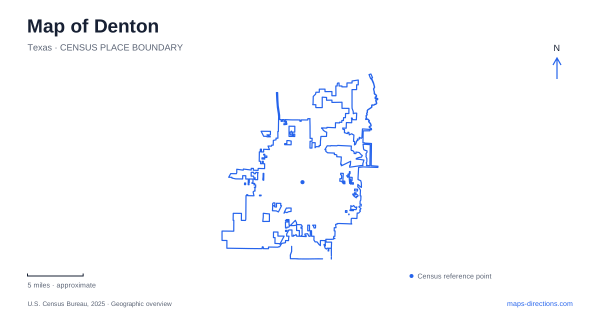
Street tiles load from OpenStreetMap when opened. The blue line shows the 2025 Census boundary.
- State
- Texas
- Population · July 2025
- 169,431
- Land area
- 96.9 sq mi
- Water area
- 1.4 sq mi
Denton has a strong civic center around its courthouse square, but its identity also depends on two universities, a regional rail corridor, and extensive natural land beyond the central streets. These settings are connected through local history without forming one compact visitor district. The square records county government and early education, preserved houses broaden the historical picture, and Clear Creek reveals the floodplain environment behind the city's developed landscape. A map becomes more useful when it explains those relationships rather than treating every cultural or outdoor destination as part of downtown.
The courthouse and the first classrooms
The Courthouse-on-the-Square is commonly identified by its 1896 construction date; its formal dedication followed in 1897. The building houses a museum and remains the architectural reference around which the downtown square is understood. Its prominent position reflects the role of county government in organizing the city's early public life.
The square also connects with the origins of the University of North Texas. In September 1890, the institution began as the Texas Normal College and Teacher Training Institute. Its first classes took place in rented space above a hardware store near the square, before the university developed the much larger campus known today.
This pairing gives central Denton a history that is both civic and educational. A courthouse and a rented classroom served very different functions, yet their proximity reveals how an institution that later shaped the entire city began within its existing commercial center. The university's early story therefore belongs on a downtown historical map as well as on a campus tour.
Houses that broaden the historical account
The county Historical Park at 317 West Mulberry Street contains the Bayless-Selby House Museum, the Quakertown House Museum, and a welcome center housed in another historic building. It provides a setting for interpreting domestic and community history alongside the formal civic story represented by the courthouse.
The Quakertown House focuses attention on the city's African American community. Its inclusion matters because an account based only on the courthouse and university buildings would leave significant local experiences out of view. The preserved house gives those histories a physical presence within the museum landscape.
For Denton, the park is a distinct historical destination with its own address and collection of structures. The buildings should be understood as resources for interpretation, rather than assumed to mark the original location of every community or event discussed inside them.
A chapel within a separate university setting
Texas Woman's University has its own campus landmarks, including Little Chapel-in-the-Woods. Dedicated in 1939, the chapel is distinguished by parabolic arches and stained-glass windows. Eleanor Roosevelt spoke at its dedication, connecting the local building with a nationally significant public figure.
The chapel's continuing use for weddings adds another layer to its history. University archives preserve a bridal book recording couples married there from 1939 through 1979, documenting decades of personal connections to the place. The building is therefore both an architectural landmark and a repository of community memory.
This campus adds a second major educational setting to Denton. The two universities share a city but retain different histories and physical environments. A visit centered on the chapel belongs to the Texas Woman's University campus, while an itinerary focused on UNT follows another set of landmarks and streets.
Rail and trail follow the same regional direction
The A-train commuter railway extends 21 miles between the local area and Dallas County. Along much of the corridor, the A-train Rail Trail provides a separate route for pedestrians and cyclists. The trail runs approximately 19 miles from the downtown transit center to Hebron station in Lewisville, connecting the five stations identified by the transit authority along that trail segment.
The difference in railway and trail lengths is meaningful: they are associated routes, not identical facilities with matching endpoints. Showing both on a map reveals a regional connection beyond the courthouse and university districts. One carries rail passengers; the other provides an outdoor travel route beside the broader transportation corridor.
Clear Creek opens onto a floodplain
Clear Creek Natural Heritage Center at 3310 Collins Road provides access to more than 2,900 acres of bottomland hardwood forest, upland prairie, and aquatic habitat. The site lies within the upper floodplain of Lake Lewisville, giving it an ecological setting very different from a small landscaped neighborhood park.
The combination of forest, prairie, and wetland environments explains its educational role. These are different habitats within one larger natural area, shaped by landform and water rather than by a uniform recreation design. The center provides a starting point for understanding that variety.
Read together, the square, historical park, university chapel, rail corridor, and floodplain show Denton at several scales. They connect the close-grained civic center with institutions, regional movement, and natural systems that extend well beyond the downtown blocks.
Map and statistics: U.S. Census Bureau, 2025 Gazetteer, January 2025 generalized place boundaries and Vintage 2025 population estimates. Local references: Denton County; University of North Texas; UNT Libraries; Texas Womans University; DCTA; City of Denton. Article prepared by Maps & Directions.