Map of Delray Beach
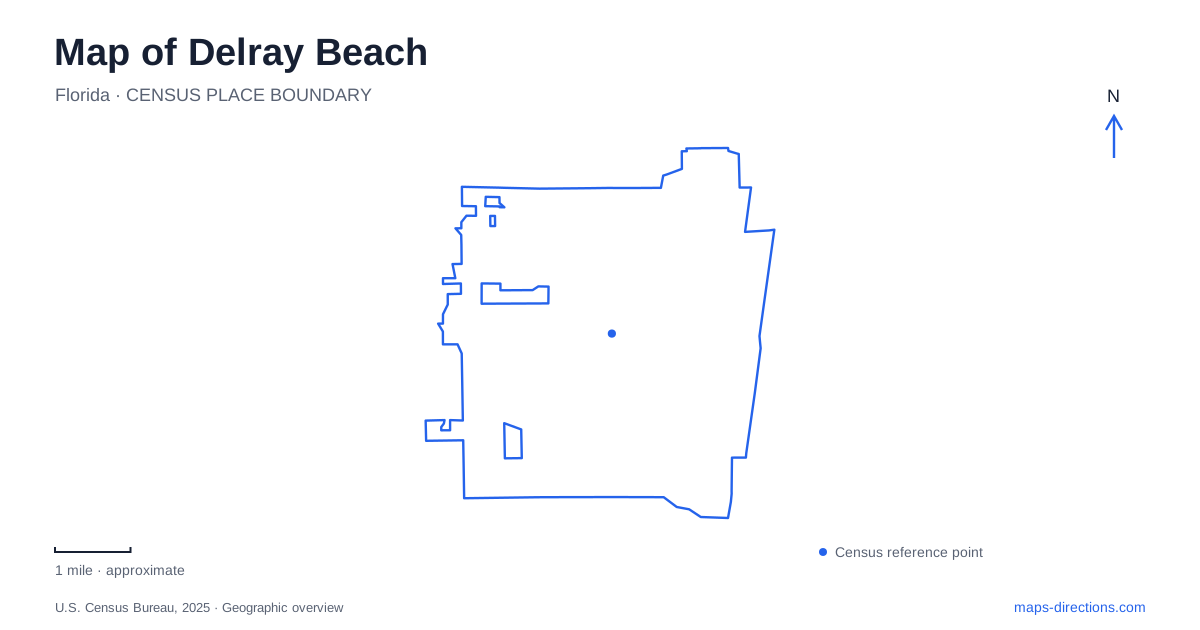
Street tiles load from OpenStreetMap when opened. The blue line shows the 2025 Census boundary.
- State
- Florida
- Population · July 2025
- 69,809
- Land area
- 15.9 sq mi
- Water area
- 0.6 sq mi
Delray Beach becomes easier to understand when Atlantic Avenue is treated as a cross section through different settings. The downtown historical core, Intracoastal Waterway, and oceanfront occupy distinct parts of that east–west journey. Farther inland, Japanese gardens and a constructed wetland introduce landscapes with entirely different origins. A useful map connects these places without reducing the community to a strip of beachfront attractions.
Older neighborhoods on both sides of the water
The city recognizes five local historic districts. Old School Square represents the early settlement footprint around the downtown center, while West Settlers preserves buildings associated with the early African American community. Their historical significance comes from different social and architectural histories, even though both belong to the same small urban core. Reading district boundaries adds a layer that a restaurant or shopping map usually omits.
Nassau Park has an especially clear geographical definition. It is the only one of the five districts east of the Intracoastal Waterway, occupying two blocks along Nassau Street between South Ocean Boulevard and Venetian Drive. Its modest residential scale reflects development during the 1930s and early 1940s. The waterway therefore separates more than traffic routes: it places a small coastal residential district apart from the older mainland center. Delray Beach's historic map is distributed across neighborhoods, rather than concentrated in one preserved square.
School buildings at the downtown center
Old School Square's complex at 51 North Swinton Avenue makes the relationship between Atlantic Avenue and the civic core particularly tangible. Municipal preservation guidelines identify the 1913 building facing Atlantic Avenue with the Cornell Museum and the 1926 building facing Swinton with the Crest Theater. Their different orientations help explain why descriptions of the same complex may emphasize different street frontages.
The buildings also record distinct architectural moments. The older structure is described as vernacular, while the later theater building uses Mediterranean Revival forms. A connecting arcade and pavilion were added in 2002, showing that the ensemble is a layered cultural site rather than an untouched school campus frozen at one date. Looking at building footprints and their relationships to the two streets is a useful way to interpret that evolution. The surrounding historic district extends beyond the complex itself, so the museum grounds form an anchor within a larger neighborhood.
Two ways to reach the ocean landscape
The municipal beach is centered at Atlantic Avenue. Atlantic Dunes Park provides a second public beach setting farther south, on Ocean Boulevard just north of Linton Boulevard. These two access areas give beach plans a straightforward geographical choice: the central avenue's seaward end or the southern dune-park setting. Neither should be confused with the Intracoastal shoreline farther inland.
For Delray Beach visitors combining downtown and the coast, the distinction is useful because the ocean and waterway appear as parallel blue features on a regional map. A waterfront destination beside the Intracoastal is still separated from the Atlantic shore by the coastal land between them. Naming the actual park or street makes the intended landscape clear, especially when a plan involves both a historical district and time by the water.
A Japanese cultural landscape inland
Morikami Museum and Japanese Gardens, at 4000 Morikami Park Road, tells a story rooted in Japanese settlement in South Florida. George Sukeji Morikami donated land to Palm Beach County in the 1970s to preserve the memory of the Yamato Colony. The gardens interpret major periods of Japanese garden design, ranging from the eighth through the twentieth century. Their landscape is deliberately composed, and its historical references extend far beyond the surrounding suburban roads.
This makes Morikami a different kind of outdoor destination from either an ocean beach or a wildlife wetland. Delray Beach trip planning benefits from treating the museum and gardens as an inland cultural visit with its own setting, rather than assuming every major attraction clusters beside Atlantic Avenue. The institution's Japanese connections explain why a South Florida map contains this particular sequence of gardens and museum spaces.
Water treatment and bird habitat at Jog Road
Wakodahatchee Wetlands occupies a former utility property at 13270 Jog Road. Opened in 1996, the created wetland covers about 50 acres and receives highly treated reclaimed water that undergoes additional natural filtration. Its ponds and vegetated islands are therefore both habitat and part of a working water-management system.
The roughly three-quarter-mile boardwalk and path form a partial loop, with a shared entrance and exit section. Gazebos and interpretive signs support a slower bird-watching visit; the county does not permit cycling or running there. This is a purposeful observation landscape, not a through-trail across the western neighborhoods. Together, the wetland, Japanese gardens, historical core, and two beach areas show how varied a map of Delray Beach can be when each place is understood on its own terms.
Map and statistics: U.S. Census Bureau, 2025 Gazetteer, January 2025 generalized place boundaries and Vintage 2025 population estimates. Local references: City of Delray Beach; Morikami Museum and Japanese Gardens; Palm Beach County Water Utilities. Article prepared by Maps & Directions.