Map of Delaware
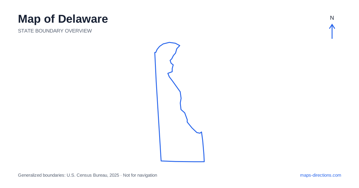
Delaware occupies a narrow part of the Delmarva Peninsula, with its main urban area in the north and coastal destinations extending down the eastern side. Wilmington, Dover and the Atlantic beach towns are the most useful initial reference points. The state's small size can encourage an overly simple reading, but its river frontage, broad bay and coastal inlets create distinct arrival areas. A statewide outline is best used to establish those relationships before a closer road view is used to select the actual town, shore or entrance you need.
Understand the northern corner
The area around Wilmington differs from the rest of the state in both terrain and urban pattern. It forms part of the wider metropolitan region near Philadelphia and contains important interstate connections. Newark lies southwest of Wilmington near the western border, while New Castle occupies a separate riverfront setting farther southeast. These city labels describe different arrival points within a relatively compact northern area.
Interstate 95 crosses this northern corner rather than running down the full length of the state. That distinction is fundamental for reading a road map. A traveler heading to Dover or the beaches needs another southbound corridor. Treat the interstate as a regional connection through the north, then identify the appropriate change of direction for destinations farther down the peninsula.
Follow the river into the bay
The Delaware River widens toward the large bay on the eastern side, creating a water boundary rather than a line of ordinary road connections. New Jersey lies across that water. A place on the opposite shore may appear close on an overview while requiring a bridge far to the north or a separate ferry journey where an appropriate service exists.
The river and bay also help explain why many roads south of the urban corner follow a north-to-south pattern. Routes cannot simply continue east across the broad water. When comparing two destinations near the shore, determine whether they share a land approach or face one another across an estuary. This is especially important when an itinerary extends beyond the state and the map includes both sides of the bay.
Place the capital within the peninsula
Dover is the capital of Delaware and sits south of the northern urban area, inland from the bay shore. It is a useful reference point for the middle of the state, with surrounding communities connected by the central road network. A stop in Dover can form part of a north-to-south journey, but the exact location still determines whether it is a straightforward stop or a separate local detour.
US 13 and State Route 1 are major features of that north-to-south pattern. Their roles and access arrangements differ, so they should not be treated as identical roads simply because they appear near one another. Trace the required exit and local connection into the destination. A through route may bypass a town center that an older main road passes directly through, changing the most practical approach.
Separate the bay towns from the ocean beaches
Lewes and Rehoboth Beach occupy different coastal settings despite their proximity on the map. Lewes is associated with the bay entrance and nearby cape, while Rehoboth Beach faces the Atlantic coast farther south. Dewey Beach, Bethany Beach and Fenwick Island extend the chain of seaside destinations toward the southern border. A general description such as coastal accommodation does not identify which setting or access road applies.
The inland bays and waterways behind the ocean frontage further divide the local geography. Bridges and connecting roads channel movement between the beach strip and inland communities. Choose the actual lodging address, beach access point or town parking destination before comparing routes. An oceanfront pin and an inland address with a similar place description can produce very different final journeys.
Read the southern countryside as part of Delmarva
Southern Delaware shares the broad, low-lying peninsula landscape with neighboring Maryland and Virginia farther south. Towns such as Georgetown and Seaford serve different inland corridors from the beach communities. An itinerary through the countryside may therefore be more naturally organized around these towns than around a coastal base.
The state boundary does not end the regional landscape, but it can be important for identifying a place correctly. Some town names and route descriptions make more sense when the wider peninsula is visible. Use a regional overview when entering from the west or south, then narrow the view for the final address. This helps avoid choosing a route that appears direct only because the neighboring roads have been cropped out of the map.
Plan coastal travel around the actual approach
A useful sequence begins with the intended region: the northern cities, the capital area, the inland south or the ocean coast. Add the arrival point within that region and then follow the connecting roads backward to the main corridor. This approach is more reliable than selecting a broad coastal label and assuming the closest-looking highway reaches it directly.
For a Delaware trip, keep peninsula travel and cross-water travel clearly separate. A ferry, when part of the plan, is a scheduled transport segment rather than an ordinary stretch of road. Bridges, town streets and beach access roads also deserve their own place in the schedule. The state's narrow outline makes the overall geography easy to see; careful attention to its water boundaries makes the resulting route much more useful.