Map of Delano
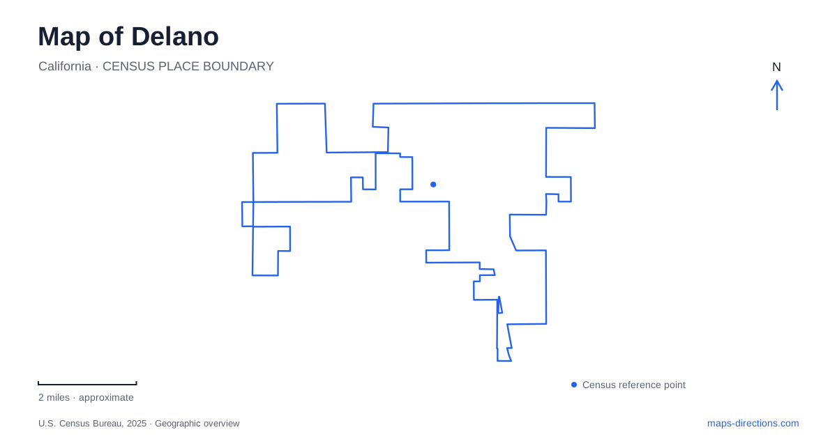
Street tiles load from OpenStreetMap when opened. The blue line shows the 2025 Census boundary.
- State
- California
- Population · July 2025
- 52,334
- Land area
- 14.7 sq mi
- Water area
- 0.1 sq mi
Delano's map contains places of national labor significance within an everyday network of numbered avenues, neighborhood streets, and agricultural approaches. The Filipino Community Hall, the first union headquarters, and Forty Acres are separate locations, each representing a different part of the farmworker movement. Garces Highway connects the city with the larger service-center site to the west, while local parks and the heritage museum provide other reasons to explore the urban grid.
The hall where collective action began
The Filipino Community Hall is at 1457 Glenwood Street. In September 1965, workers associated with the Agricultural Workers Organizing Committee gathered there before beginning the grape strike. Larry Itliong and other Filipino leaders played a central role. The largely Latino National Farm Workers Association joined the strike, and the hall became a shared organizing and food-service space during the struggle.
This history makes the hall much more than an incidental meeting room. It connects a specific neighborhood address with the cooperation that sustained the Delano grape strike. On a historical route, the building should be considered an active community property with its own arrangements, rather than a museum assumed to be open whenever a visitor arrives. Its importance comes from what people organized there, not from the scale of the building.
First Avenue and Albany Street
The early union headquarters stood at the corner of First Avenue and Albany Street. The National Park Service describes leaders coordinating strike operations, providing services, running a credit union, and producing the newspaper El Malcriado there. As activity expanded, the organization also used neighboring rented houses. This was a movement growing within ordinary urban buildings before establishing a larger purpose-built center.
The former headquarters now operates as a church. The Park Service specifically asks visitors not to enter its fenced area. Knowing the current use prevents a historically informed visit from becoming an intrusion. The intersection remains meaningful as a location on the movement's map, while the building continues to serve a different community function today.
Forty Acres beyond the street grid
Forty Acres is at 30168 Garces Highway, west of Delano. Purchased in 1966, the property provided room for services that could not easily fit into the earlier offices. The complex developed a cooperative service station, a health clinic, Reuther Hall, and housing for older Filipino farmworkers. These functions show that organizing involved daily needs as well as meetings and picket lines.
Reuther Hall became the union headquarters in 1969. In July 1970, growers signed important contracts there in front of strikers and boycott supporters. The national headquarters later moved to Keene, so this site should not be confused with the separate monument location in the Tehachapi Mountains. The buildings here document a particular stage in the movement's growth on the valley floor.
Agbayani Village adds the history of retirement and housing to the complex. Its rooms, communal spaces, and garden were created for older Filipino workers, many of whom had spent decades in demanding agricultural labor. The property still provides lodging. Tours of the village and Forty Acres are sometimes available by appointment, according to the Park Service, rather than as unrestricted daily access. Planning around the operator's arrangements respects the people who continue to use the site.
Heritage Park and the town's own collection
Heritage Park lies near Lexington Avenue and Garces Highway. The city owns the park property, while the historical society maintains the museum collection. This gives a Delano history itinerary a local institution to complement the nationally recognized labor landmarks. The museum and Forty Acres share a highway reference but are separate destinations with different subjects and management.
The broader city history also includes its development as a railway town. That transportation background helps place the agricultural economy in context: farms, workers, goods, and markets depended on connections beyond individual fields. The preserved labor sites reveal the human and organizational side of that landscape, while the museum offers another setting for understanding local change.
Parks within the avenue network
The municipal park directory provides useful neighborhood reference points. Albany Park's reservable areas are on West 20th Avenue, Cecil Park's north and south sections are on Norwalk Street, and Kalibo Park is on 23rd Avenue. These are distinct recreation spaces within the developed city, not extensions of the historic properties described above.
A map of Delano is most informative when it keeps those roles clear. Community recreation, local collections, a working church, and historically significant service buildings all coexist within the same area. Following their actual streets and present uses produces a grounded visit while showing how ordinary places became central to a much larger struggle over agricultural work and dignity.
Map and statistics: U.S. Census Bureau, 2025 Gazetteer, January 2025 generalized place boundaries and Vintage 2025 population estimates. Local references: National Park Service; City of Delano. Article prepared by Maps & Directions.