Map of DeKalb
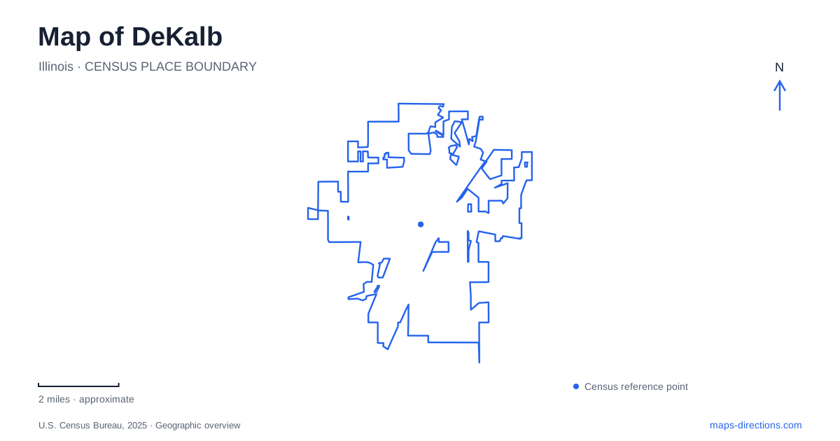
Street tiles load from OpenStreetMap when opened. The blue line shows the 2025 Census boundary.
- State
- Illinois
- Population · July 2025
- 40,467
- Land area
- 17.8 sq mi
- Water area
- 0.2 sq mi
DeKalb brings together an industrial history associated with barbed wire and a university landscape shaped by architecture, planting, and water management. Lincoln Highway connects important historical addresses, while Northern Illinois University's eastern edge introduces the South Branch Kishwaukee River and East Lagoon. Farther along the local street network, parks provide distinct recreation settings. These features make the city easier to understand as a sequence of connected places rather than simply a college destination.
Barbed wire along Lincoln Highway
Joseph Glidden and Isaac Ellwood formed the Barb Fence Company after Glidden developed his successful barbed-wire design. The manufacturing industry connected local invention and agriculture with a much wider market. Jacob Haish also manufactured barbed wire here and developed the S-barb, adding another strand to the local history of competing designs and producers.
The Glidden Homestead identifies its visitor address as 921 West Lincoln Highway, behind the florist property. Its brick barn housed early manufacturing activity, with the first barbed-wire office in the southeast corner. The building combines local brick, a locally quarried limestone foundation, and a structural tradition associated with German barn construction.
This site gives a map of DeKalb a direct link between farm buildings and industrial development. The invention did not begin in a purpose-built modern factory district; its surviving setting retains the scale and form of an agricultural property. The house, grounds, and barn make that transition tangible even where commercial development now surrounds the site.
The Ellwood House Museum offers another historical address at 420 Linden Place. Its main entrance and parking are behind the Ellcourt carriage house, reached from Linden. This separate estate setting provides a useful counterpart to the Glidden property when following the people associated with the city's manufacturing history.
A castle-like beginning for the university
Northern Illinois State Normal School was established in 1895. Altgeld Hall's cornerstone was laid that October, and when the building opened in 1899 it accommodated the entire institution. Its castle-like architecture belongs to a broader group of Illinois educational buildings associated with Governor John Peter Altgeld.
The scale of the modern university can obscure that concentrated beginning. Altgeld Hall was once the whole school, not merely one landmark among many. Keeping that history in mind helps explain its prominence within the older campus landscape and its continuing role as a visual reference.
For DeKalb, the normal school's arrival added an educational center to a community already shaped by manufacturing and agricultural commerce. The resulting map contains more than one historic focus: industrial landmarks along established streets and an institutional landscape developed around the original university building.
How the East Lagoon took shape
The East Lagoon began as a depression west of the Kishwaukee River that collected water after heavy rain. A proposal to turn it into a lake was followed by excavation in 1907, creating a pond with an irregular shoreline and a small island. Groundskeeper W. C. Claybaugh and gardener Frank Balthis supervised the work.
Its development formed part of a broader campus landscape plan associated with Walter Burley Griffin. During the Depression, Civil Works Administration and Works Progress Administration projects reshaped the lagoon area, including work on Castle Drive, a bridge to the north, and dredging and enlargement of the water feature.
The lagoon also has a drainage function. University documentation describes Watson Creek carrying campus runoff through alternating open and underground sections before reaching East Lagoon. Overflow then enters the South Branch Kishwaukee River. Water visible on the campus map therefore belongs to an interconnected system, even where a stream disappears beneath roads or developed ground.
This relationship gives DeKalb's eastern campus edge a distinctive geography. The lagoon is a designed landscape feature, while the river provides the larger drainage corridor. Their proximity does not make them the same water body, and the intervening channels explain how they function together.
Recreation beyond the historic campus
Prairie Park occupies 401 Clifford Drive, with a walking trail, disc golf, fishing, benches, and picnic tables listed by the park district. Its address and facilities identify a public park destination separate from the university grounds, even though both contribute outdoor space to the community.
Hopkins Park Community Center stands at 1403 Sycamore Road and accommodates park-district administration and recreation space. Lincoln Highway, Linden Place, Clifford Drive, and Sycamore Road consequently provide useful street anchors for different aspects of a visit.
Read together, these places show DeKalb's development through agricultural invention, manufacturing wealth, education, and public recreation. The local map preserves those layers in a brick barn, an estate, a castle-like school building, and a lagoon whose appearance reflects both design and drainage.
Map and statistics: U.S. Census Bureau, 2025 Gazetteer, January 2025 generalized place boundaries and Vintage 2025 population estimates. Local references: City of DeKalb; Illinois State Historical Society; Glidden Homestead; Ellwood House Museum; Northern Illinois University; DeKalb Park District. Article prepared by Maps & Directions.