Map of Dearborn
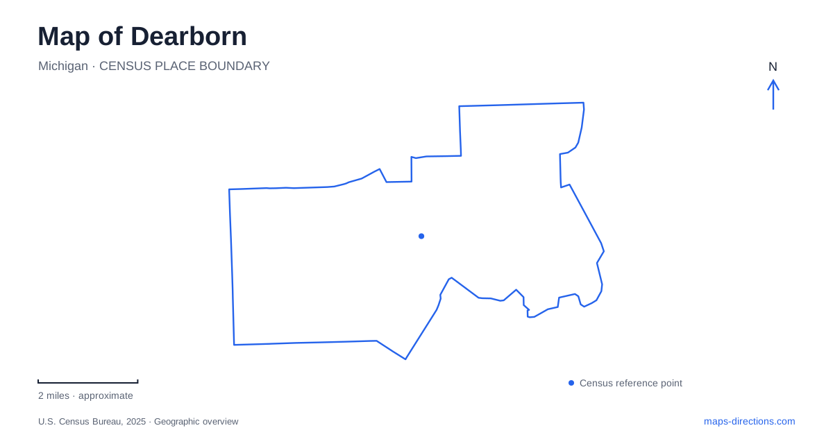
Street tiles load from OpenStreetMap when opened. The blue line shows the 2025 Census boundary.
- State
- Michigan
- Population · July 2025
- 105,611
- Land area
- 24.2 sq mi
- Water area
- 0.3 sq mi
Dearborn's geography brings together cultural institutions, industrial history, and a river landscape that can be easy to overlook on a road map. Michigan Avenue supplies an important east–west reference. Oakwood Boulevard and Village Road identify the large museum campus to its south, while the Rouge River and Fair Lane landscape give the university area a very different character. The useful distinctions are concrete: an indoor museum is separate from an outdoor village, a factory tour belongs to a working industrial site, and a wooded interpretive trail is part of an urban watershed.
Michigan Avenue as a cultural address
The Arab American National Museum stands at 13624 Michigan Avenue. Its exhibitions document Arab American contributions to the country's cultural, political, and economic life, while also addressing experiences shared by immigrants and other communities. That national subject matter is presented from a specific local address within the city's established commercial landscape.
The museum's visitor instructions place public entry through its store, with municipal parking behind the building. This arrangement is a small but useful example of how a traditional commercial corridor works: the Michigan Avenue frontage identifies the institution, while the rear of the block accommodates parking.
Dearborn should therefore be read through more than its automobile-industry landmarks. The museum adds a different account of migration, community, and national history. It also gives Michigan Avenue a cultural destination that is independent of the larger Oakwood campus. The two institutions can contribute to the same trip without being mistaken for parts of one museum complex.
Oakwood Boulevard and the museum campus
The Henry Ford uses 20900 Oakwood Boulevard, at the corner of Village Road. Its published directions place the campus west of the Southfield Freeway, M-39, and south of Michigan Avenue, U.S. 12. Those relationships provide a concise regional orientation using both street names and highway numbers.
Within the grounds, the Museum of American Innovation and Greenfield Village occupy separate settings. Campus maps distinguish the museum's Welcome Center and Clocktower entrances, the village entrance, Lovett Hall, and the Benson Ford Research Center. The West Lot is reached from Oakwood, while the East Lot is off Village Road.
For Dearborn visitors, this layout explains why the campus needs a more detailed map than the surrounding road network. Oakwood and Village Road bring a traveler to the grounds, but the internal paths and entrances determine the experience afterward. A visit to the outdoor village involves a different sequence of spaces from one focused on the museum galleries or an event in Lovett Hall.
The Ford Rouge Factory Tour adds another setting again. It interprets manufacturing within a working truck plant and includes a plant walkway, theaters, and an observation deck. The factory's industrial function remains real; the operator does not guarantee active assembly during every visit. Its relationship with the museum is interpretive and operational, rather than evidence that all these attractions occupy the same building.
Fair Lane Lake and the university's habitats
The Environmental Interpretive Center supports a 120-acre nature preserve with approximately two miles of trails. The university's habitat map makes the area unusually informative to read: it identifies marsh, floodplain forest, old fields, planted native forest, and woodland at different stages of succession.
Fair Lane Lake sits within this landscape, with Jensen's Meadow, an orchard area, and the estate grounds contributing additional features. The result is more complex than a uniform wooded park. Different patches record different ecological conditions and histories of land use, and the trail network lets visitors move among them.
This aspect of Dearborn connects environmental education with the surrounding metropolitan setting. The interpretive center treats the grounds as an outdoor classroom and research landscape. Students study ecology, watershed processes, and the landforms associated with the Rouge River. The habitat labels therefore have practical meaning: they help explain what is being observed and why two neighboring portions of the preserve can support different communities of plants and animals.
Following the Rouge Gateway connection
The Rouge River Gateway Trail runs through the university area and provides a connection toward the western downtown. A university walking guide describes following Fair Lane Road to a signed opening, then reaching the red south bridge across the river. Beyond the crossing, a fork separates the direction toward downtown from the route opposite the estate.
That bridge-and-fork arrangement is a particularly useful landmark sequence. It makes the relationship between campus, river, estate, and downtown understandable without reducing the wooded route to a straight line. Across Dearborn, Michigan Avenue, the Oakwood campus, and the Rouge corridor reveal different kinds of movement: commercial-street travel, circulation within a major institution, and a trail linking urban destinations through an environmental landscape.
Map and statistics: U.S. Census Bureau, 2025 Gazetteer, January 2025 generalized place boundaries and Vintage 2025 population estimates. Local references: Arab American National Museum; The Henry Ford; University of Michigan-Dearborn. Article prepared by Maps & Directions.