Map of Dearborn Heights
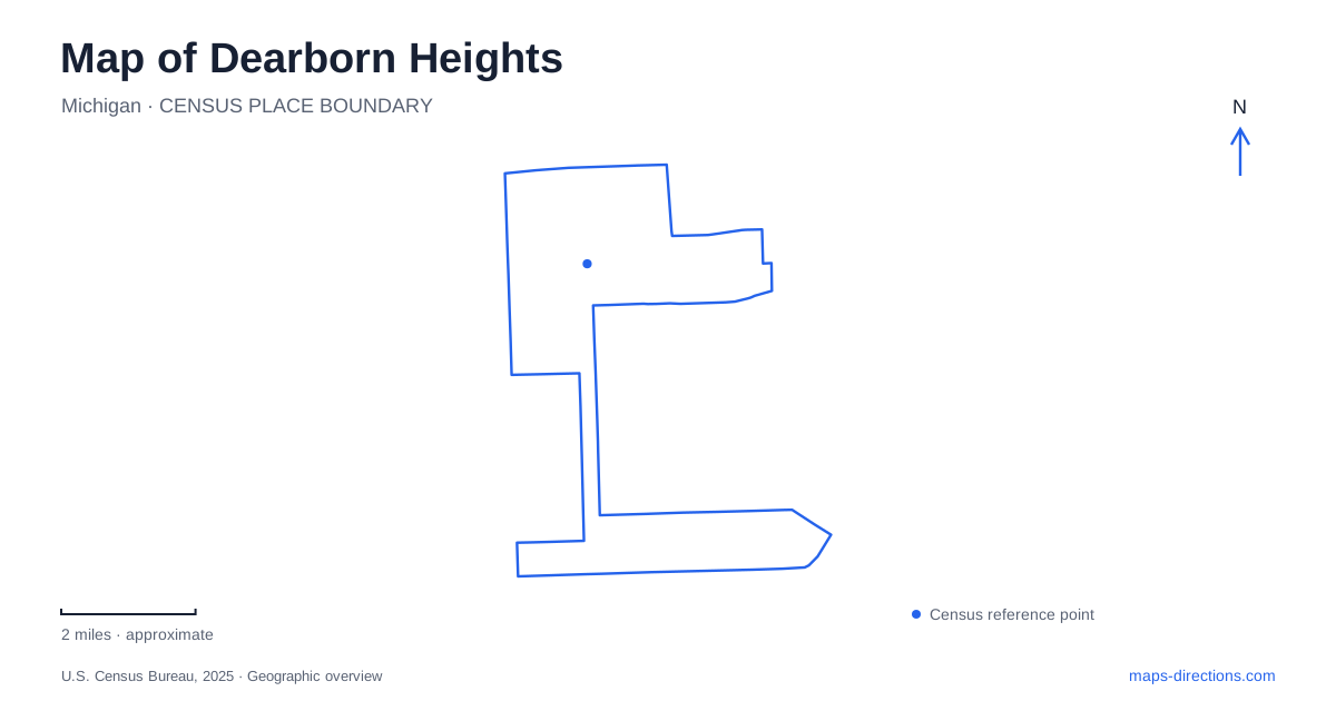
Street tiles load from OpenStreetMap when opened. The blue line shows the 2025 Census boundary.
- State
- Michigan
- Population · July 2025
- 60,664
- Land area
- 11.7 sq mi
- Water area
- 0.0 sq mi
Dearborn Heights is best approached as a collection of districts connected by major roads and interrupted by river parkways. Telegraph Road gives the map a strong north–south reference, while Ford Road, Warren Avenue, and Van Born Road identify different portions of the wider street network. The Rouge landscape adds broad open spaces and curving routes that contrast with the surrounding residential blocks. Public facilities are distributed across these settings rather than concentrated around one central square.
The parkway follows the river's landscape
Hines Park occupies the floodplain of the Middle Rouge River. Wayne County describes it as a long sequence of park areas along Edward Hines Drive, extending well beyond this city's boundary. That means the regional park name alone is insufficient to identify a particular local destination. The named recreation area within the parkway is the useful next level of detail.
Parr Park, for example, is listed on Edward N. Hines Drive with a shelter, ball diamond, soccer field, and play area. It supplies a specific destination within the larger green corridor. The city's master plan also distinguishes the northern Middle Rouge parkway from a smaller portion of the Lower Rouge parkway just north of Michigan Avenue. Those are separate river-related settings, not two interchangeable names for the same park entrance.
On a map of Dearborn Heights, the river corridors explain some of the strongest departures from the street grid. The open land is there partly because of water and floodplain geography. Hines Drive's curves follow that broader landscape, whereas nearby neighborhood streets are arranged around residential blocks. Recognizing the difference makes the local map easier to interpret without assuming that every open strip is a municipal neighborhood park.
Telegraph, Ford, and the civic area
Telegraph Road is also US 24, while Ford Road is marked as M-153 on the city's street map. These overlapping local and route names help connect regional directions with everyday addresses. Warren Avenue and Joy Road provide further references toward the northern portion of the city, and Beech Daly is another important north–south line through the neighborhoods.
City Hall is on Fenton Street. The Caroline Kennedy Library is nearby on George Street, placing two important civic destinations within the same broader district but on different address streets. The library's name is especially useful because the city operates another branch with a similar Kennedy name elsewhere.
This civic geography gives Dearborn Heights a more precise center for particular errands without suggesting that all public activities occur there. Someone visiting the library needs George Street; someone attending a City Hall appointment needs Fenton. The surrounding major roads establish the district, while those smaller streets distinguish its individual destinations. Both scales belong on a useful local map.
Community recreation on Beech Daly and McKinley
Canfield Community Center is on North Beech Daly Road and houses the Parks and Recreation Department. The Richard A. Young Recreation Center is on McKinley farther south. These buildings serve different locations, despite both appearing prominently in recreation information. Their street names are therefore more reliable geographic guides than the broad phrase recreation center.
Central Park is on Kinloch Street, while Swapka Park is identified on McKinley near the southern recreation setting. The city's event notices use these specific site names, illustrating how activities are spread among indoor facilities and outdoor grounds. Reading the names alongside the roads creates a practical local framework: Beech Daly for Canfield, Kinloch for Central Park, and McKinley for the southern recreation destinations.
For residents and visitors moving across Dearborn Heights, this distribution explains why two municipal events may involve quite different neighborhoods. The facilities form a citywide network rather than a single recreation campus. A route that makes sense for one building may not be a useful introduction to the others.
Van Born and the second library district
The John F. Kennedy, Jr. Library stands on Van Born Road, west of Telegraph according to the city's planning description. This locates it separately from the Caroline Kennedy branch near City Hall. The difference is more than a naming detail: the two branches provide useful landmarks in different parts of the city.
The southern street map includes Van Born, McKinley, and nearby residential roads, while the northern view brings the Rouge parkway and civic district into greater prominence. A broad map of Dearborn Heights should preserve that contrast. Telegraph supplies a common regional line, but the river landscape, library branches, and recreation centers give each district its own identifiable geography. Those relationships are the most useful foundation for finding a particular destination without confusing similar municipal names.
Map and statistics: U.S. Census Bureau, 2025 Gazetteer, January 2025 generalized place boundaries and Vintage 2025 population estimates. Local references: Wayne County; City of Dearborn Heights; Dearborn Heights Libraries. Article prepared by Maps & Directions.