Map of Daytona Beach
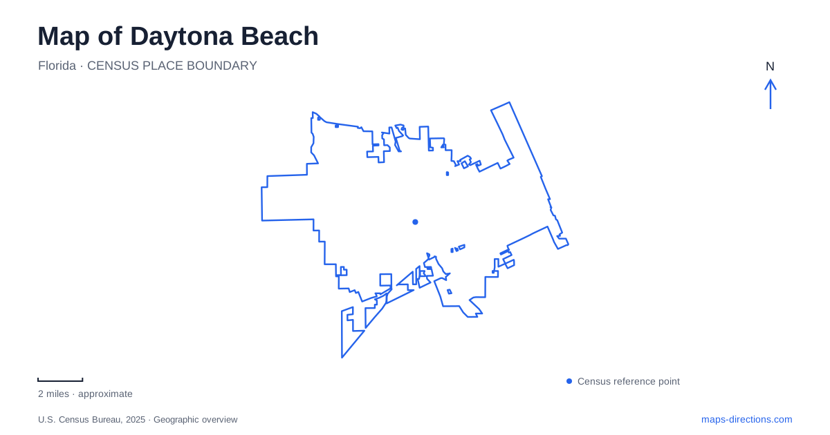
Street tiles load from OpenStreetMap when opened. The blue line shows the 2025 Census boundary.
- State
- Florida
- Population · July 2025
- 88,471
- Land area
- 67.9 sq mi
- Water area
- 2.7 sq mi
Daytona Beach has several centers of gravity, and the Atlantic shoreline is only one of them. The Halifax River separates the mainland from the beachside district, while International Speedway Boulevard provides an east–west reference across a city whose best-known destinations lie in quite different settings. A riverfront garden, a historic university residence, a wet forest and a major motor-racing venue cannot be understood as stops along a single oceanfront promenade. Begin with the water and then locate each district in relation to it.
Beach Street follows the riverfront
The Riverfront Esplanade occupies the downtown edge along North and South Beach Street, between Main Street and Orange Avenue. International Speedway Boulevard divides its northern and southern portions. Those boundaries provide a particularly useful way to read downtown: Beach Street is a mainland riverfront address, despite the word “beach” in its name.
This is a place where street names can otherwise distort a first impression of Daytona Beach. The Esplanade's published locations include 355 North Beach Street and 179 South Beach Street, identifying two portions of the same linear public landscape. A route to one end will not necessarily deliver a visitor beside an activity at the other. On a map, follow the whole strip between its bounding streets before deciding where a downtown walk should begin. The river-facing landscape and the Atlantic-facing entertainment district belong to opposite sides of the water.
A New Deal landmark beside the ocean
The Bandshell gives the beachside district a landmark with a history distinct from the racing circuit. Built in 1937 as a New Deal project, the outdoor performance venue stands near the Peabody Auditorium. Its purpose was public entertainment, and its oceanfront setting makes it a useful anchor for understanding the relationship between the developed shore and the beach itself.
The auditorium and outdoor shell should be kept as separate destinations when interpreting an event listing. Proximity does not make them the same building or entrance. Their relationship also offers a more detailed reading of the coast than a continuous line of hotels would suggest: this section contains civic performance spaces as well as visitor accommodation. The municipal venue history places the shell within the city's public-building story, rather than treating everything beside the sand as a product of resort development.
The educational landscape on the mainland
Mary McLeod Bethune established a school for Black girls here on October 3, 1904. It later merged with a boys' school to become the institution now known as Bethune-Cookman University. Her home on the campus is a National Historic Landmark. Purchased for her in 1913, it remained her principal residence until her death in 1955, and the National Park Service describes surviving furnishings and rooms preserved from her occupancy.
That campus adds a major educational and civil-rights landscape to a map of Daytona Beach. Bethune's influence extended beyond the school: she founded the National Council of Negro Women in 1935 and advised presidents. Her Florida house should not be confused with the council house in Washington, DC. The two places represent related work in different cities. Here, the university setting makes the connection between a domestic building and a long-running educational institution particularly clear.
Tuscawilla is a wet forest, with access changing
Tuscawilla Preserve occupies a very different environment on the museum campus at South Nova Road. Its coastal hydric hammock is a wet forest whose ground can remain saturated. It also receives runoff from surrounding areas, so its position matters environmentally as well as recreationally. Preservation efforts in 1948 led the city to purchase the property after campaigning by Nancy Shields West, Alys Clancy and local garden clubs.
Campus access needs a specific distinction. The museum organization uses The Brown name, while older maps and visitor descriptions may identify the preserve boardwalk separately. Confirm ordinary gallery visits, special-event admission and boardwalk access with the operator rather than assuming one arrangement covers the whole property. A mapped educational path establishes its geographic setting, not permission to enter it. This helps preserve the forest's role in understanding the mainland landscape without treating a campus drawing as an opening schedule.
Beach racing and the inland speedway
Racing history connects Daytona Beach to a broader stretch of coast. Earlier beach-and-road competition used a course extending into Ponce Inlet, with the beach and roadway forming different legs of the circuit. Historic markers there identify that earlier racing geography. The first Daytona 500 at the permanent speedway took place in 1959, establishing a different setting for the sport.
This distinction is useful when reading both historic maps and present-day itineraries. A coastal racing marker is not the entrance to the inland track, and the track does not occupy the old beach course. Racing, university history, riverfront public space and coastal ecology together explain the city's spread. A useful map of Daytona Beach preserves those separate places and their connections instead of compressing the whole community into its most familiar stretch of sand.
Map and statistics: U.S. Census Bureau, 2025 Gazetteer, January 2025 generalized place boundaries and Vintage 2025 population estimates. Local references: Riverfront Esplanade; Peabody Auditorium; National Park Service; The Brown; Daytona Beach Area Convention and Visitors Bureau. Article prepared by Maps & Directions.