Map of Davis
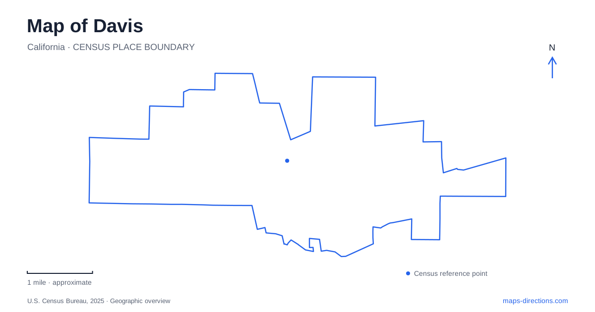
Street tiles load from OpenStreetMap when opened. The blue line shows the 2025 Census boundary.
- State
- California
- Population · July 2025
- 66,110
- Land area
- 10.0 sq mi
- Water area
- 0.0 sq mi
Davis is shaped by the relationship between a railroad town, an agricultural university and a network of bicycle routes. Downtown's numbered and lettered streets contrast with the university's garden paths and the creek landscape along the campus edge. Central Park and the depot provide two useful historical anchors, while the arboretum explains why water and planted collections occupy such a prominent place on the local map.
The railway and the university's beginnings
The passenger station is at 840 Second Street. Its Mission Revival depot and control tower were built by Southern Pacific in 1913, replacing an earlier station associated with the community's nineteenth-century development. Amtrak's historical account dates the first passenger and freight service to August 24, 1868, when the settlement was known as Davisville Junction.
The present building also reflects the university's growth. The institution began as the University Farm School in 1908, and the new depot was considered a more suitable gateway for that expanding educational presence. Rail access connected a local agricultural center to a much wider region. The station therefore belongs to both the transportation history and the academic history of the community.
Its Second Street address places the depot in the downtown street system rather than inside the central campus. This is a useful distinction for a visitor arriving by train: the railway provides the regional arrival point, with the town and university unfolding beyond it through their own street and path networks.
Central Park grew across a former street
Central Park gives downtown Davis a gathering space whose shape records an important local planning decision. The original park opened in 1937 between Fourth and Fifth streets and B and C streets. An adjoining block had held an elementary school before becoming a gravel parking lot. Later expansion joined the properties by closing and grassing over part of Fourth Street.
The farmers market's historical account describes a phased park project completed between 1988 and 1994. The market pavilion opened as part of the 1994 phase, giving vendors and shoppers a more permanent setting. The former library building, originally on F Street, was moved in 1992 and became the Hattie Weber Museum. These changes brought civic history, food shopping and recreation into a connected public landscape.
A Lincoln Highway marker at Fifth and B streets adds another layer. The city identifies this marker and a second on Russell Boulevard at Arthur Street as surviving references to the old road. A walk around the park can therefore reveal both a former street absorbed into green space and evidence of a highway that once passed through town.
Bicycles as part of the street system
Bicycling is embedded in the development of Davis rather than being only a recreational theme. The city records a 1967 council decision to establish several short stretches of bicycle lanes, drawing on interest in European-style bikeways. Those early changes made room for a form of everyday travel that later became closely associated with the community's identity.
Today's municipal parks information describes forty-one neighborhood and community parks alongside an extensive greenbelt system. A city map consequently contains two overlapping patterns: streets that connect addresses and green corridors that connect outdoor spaces. For a bicycle trip, the latter can be as relevant as the familiar road grid. Reading both together helps explain the relationship between residential neighborhoods and their shared open spaces.
A garden occupying an old creek channel
The UC Davis Arboretum follows a waterway along the southern side of the central campus. University records explain that this approximately one-and-a-half-mile feature was built in 1968 and 1969 in the former North Fork of Putah Creek. Its appearance is therefore rooted in an older drainage channel, even though the present waterway is a managed campus landscape.
The arboretum's visitor map identifies distinct collections, including the T. Elliot Weier Redwood Grove and the Desert Collection. Those contrasting plant environments make the long garden more than a single destination. Its eastern GATEway Garden also provides a relationship with downtown, while the university describes pedestrian and bicycle connections toward the south through the Putah Creek Parkway beneath the railroad and Interstate 80.
The Putah Creek Riparian Reserve is a separate, much larger landscape along the southern campus edge. Its 640 acres include streamside habitat and grassland used for teaching, research and habitat protection, as well as public recreation. Distinguishing that reserve from the arboretum waterway is essential to understanding the area's geography. One is a curated garden corridor near the central campus; the other preserves a broader creek ecosystem. Together with the station, Central Park and the greenbelts, they give Davis a map where transportation, education and landscape history remain closely connected.
Map and statistics: U.S. Census Bureau, 2025 Gazetteer, January 2025 generalized place boundaries and Vintage 2025 population estimates. Local references: Amtrak Great American Stations; Davis Farmers Market; City of Davis; UC Davis; UC Davis Arboretum and Public Garden. Article prepared by Maps & Directions.