Map of Davenport
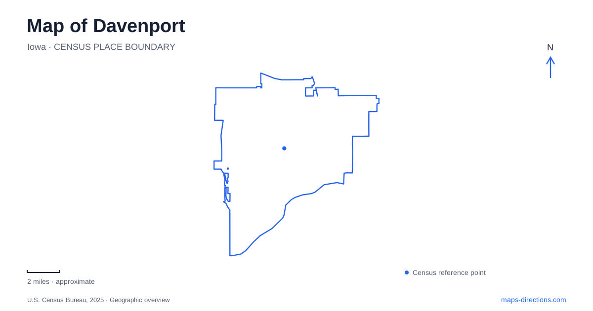
Street tiles load from OpenStreetMap when opened. The blue line shows the 2025 Census boundary.
- State
- Iowa
- Population · July 2025
- 100,358
- Land area
- 64.2 sq mi
- Water area
- 2.1 sq mi
Davenport faces a stretch of the Mississippi that bends east to west, an important correction to the usual mental picture of a north-south river. River Drive, downtown Second Street, and the crossings toward Illinois belong to this local orientation. Farther inland, botanical gardens and the Putnam Museum introduce another set of destinations. The map becomes easier to read once the riverfront is treated as one part of the city rather than the location of every major attraction.
Second Street above the riverfront
The Figge Art Museum stands at 225 West Second Street. Nearby, the Skybridge is listed at 121 West Second Street, placing two recognizable landmarks along the same downtown street. Their relationship makes Second Street a useful starting line for understanding the cultural district before descending toward the water.
The Skybridge crosses River Drive and the railroad tracks to connect downtown with the riverfront. It does not cross the Mississippi. Built in 2005, its elevated walkway sits roughly 50 feet above River Drive, explaining both the views and its role as a crossing over transportation infrastructure. Confusing it with an interstate river crossing would give a completely wrong impression of the route.
Davenport's Main Street Landing project adds another layer to this central waterfront. The city's construction record describes a new pedestrian bridge installed over the railroad tracks in May 2026, alongside riverwalk work. That record should be read as a project history, not as proof that every surrounding path is open. This is a changing section of the waterfront where established landmarks and construction-stage connections can appear together on digital maps.
Bridges with different functions
The Government Bridge connects the Iowa bank with Rock Island Arsenal. The present structure opened in 1896 on piers associated with the preceding bridge. It carries railroad tracks on its upper deck and a roadway with pedestrian provision below. Its movable span accommodates river traffic, so the bridge belongs to both the land transportation and navigation systems.
The Centennial Bridge is a different Mississippi crossing, recognizable by its five arches and its 1940 opening. Keeping these names separate from the Skybridge clarifies three very different structures: an elevated downtown pedestrian connection, a combined rail-road river bridge, and another road crossing toward Rock Island.
Visitors planning to enter the arsenal should also distinguish crossing geography from installation access. The Army Corps of Engineers directs visitors to its offices and the Mississippi River Visitor Center through the Moline Gate, with clearance requirements. A line across the river on a road map does not describe the admission process for facilities inside the military installation.
Parks west of the central waterfront
Centennial Park is at 315 South Marquette Street and provides access to the Riverfront Trail. Its facilities include a boat ramp, skatepark, basketball courts, rugby fields, and an off-leash dog area. These uses make it a substantial recreation destination rather than simply a lawn beside a bridge.
Credit Island introduces a different form of riverfront geography west of central Davenport. The city's park assessment locates the vehicle entrance on the island's northeastern side, with the only road access in and out there. The Mississippi River Trail passes through the park and exits toward the northwest. A cyclist's through-route and a driver's arrival therefore follow different patterns on the same island.
The park contains nature trails, disc golf, shelters, and the Credit Island Lodge. Its island outline is more than a scenic detail: it explains why the road entrance is concentrated at one end while the trail network can continue across the site. River levels and park notices remain relevant to this low-lying setting.
Gardens and museums away from the shoreline
Vander Veer Botanical Park lies between Brady and Harrison streets, south of West Central Park Avenue, with vehicle entrances from Central Park Avenue. Established in 1885, it combines a conservatory, gardens, and the Grand Allée leading toward the Stone Fountain. Its Enabling Garden uses accessible paths and planting beds at different heights.
For a Davenport garden visit, the fountain is a landmark rather than a guaranteed operating display; its mechanical operation is separate from the layout of the surrounding paths. The surrounding garden layout still explains the park's internal organization, with the central allée and perimeter walk serving different kinds of stroll.
The Putnam Museum and Science Center is at 1717 West 12th Street, at Division Street. This inland address separates it clearly from the Figge's Second Street location. A useful map of Davenport therefore retains several distinct clusters: the downtown art museum and waterfront connections, the western river parks, the botanical park farther inland, and the museum at Twelfth and Division.
Map and statistics: U.S. Census Bureau, 2025 Gazetteer, January 2025 generalized place boundaries and Vintage 2025 population estimates. Local references: City of Davenport; Figge Art Museum; U.S. Army; U.S. Army Corps of Engineers; Putnam Museum. Article prepared by Maps & Directions.