Map of Cutler Bay
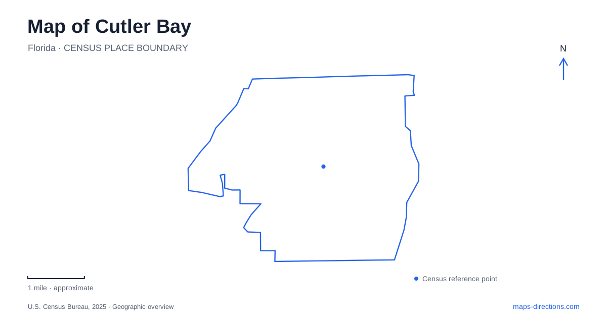
Street tiles load from OpenStreetMap when opened. The blue line shows the 2025 Census boundary.
- State
- Florida
- Population · July 2025
- 44,750
- Land area
- 9.9 sq mi
- Water area
- 0.4 sq mi
Cutler Bay has a street map that preserves several generations of development. Franjo Road recalls a farming community, Old Cutler Road follows the legacy of an earlier coastal route, and names such as Saga Bay and Lakes by the Bay identify later residential development. Parks occupy pieces of that changing landscape. Reading the roads and neighborhood names historically helps explain how a town incorporated in 2005 contains places with much older origins.
Farming names remain on the road map
Franjo combines the names of Francis and John H. Earhart, brothers associated with a large farming property and the community that developed around it. The road leading to that community retained the name. Nearby agricultural history also included Thomas J. Peters' tomato operation near present-day Eureka Drive, or Southwest 184th Street, and U.S. 1.
Old Cutler Road has a different origin. Settlers at the earlier town of Cutler opened a route toward Coconut Grove, creating the beginning of the road known today. The historical town stood several miles northeast of modern Cutler Bay. The shared name connects the places historically, but they should not be placed on the same point of a map.
These older names sit alongside Miami-Dade's numbered street system. Eureka Drive and Southwest 184th Street, for example, describe the same road reference in the town's historical account. Keeping both forms in mind helps connect a local story with a contemporary address. The result is a map that records agriculture and early settlement within a much more extensively developed area.
Subdivisions reshaped the landscape in stages
The Tenalla Ocean Farms subdivision was created in 1924, extending from Ingraham Highway toward Biscayne Bay. A planned town at the intersection of Ingraham Highway and Franjo Road included land deeded for a park. That site became Franjo Park, which the town identifies as its first planned park.
After World War II, residential development introduced additional neighborhood identities. Lincoln City sections began in 1948. Holiday House and Whispering Pines followed in the 1950s, and part of the earlier Tenalla property was replatted as Saga Bay in 1972. Lakes by the Bay began with a first section in 1983.
For Cutler Bay, these dates explain why nearby neighborhoods need not have matching street patterns or the same development history. They were laid out in different periods on land with earlier uses and boundaries. The parks also carry that history forward: Franjo Park reflects an older subdivision plan, while later recreation areas serve communities established decades afterward. Modern municipal incorporation brought these existing places into one town rather than creating all of them at once.
Lakes by the Bay combines sports and a waterside approach
Lakes by the Bay Park is at 8551 Southwest 216th Street, east of Southwest 87th Avenue and behind Whigham Elementary School. The town's 45-acre park lies beside a 47-acre county park. The municipal portion includes ballfields, multipurpose sports fields, a playground, and an exercise path.
A canoe and kayak launch opened in 2020. The town describes two approaches: from Southwest 85th Avenue south of Southwest 212th Street, or by a short trail beginning at the north end of the main park parking lot. Those details reveal how the recreation complex works on the ground. The fields and the launch share an overall park setting, but the waterside activity has its own approach within it.
A Cutler Bay park outing can therefore be organized around different uses of the same area. Someone meeting a team at a field needs a different meeting point from someone carrying paddling equipment. The adjacent municipal and county properties also explain why the total green area visible on a map is larger than the town's stated park acreage.
Preservation along Old Cutler Road
Coastal Ridge Preserve occupies an 8.5-acre property near Old Cutler Road and Southwest 184th Street. The town purchased the parcel in 2020 to protect it from development and named it in 2024. It lies beside the Biscayne Bay Coastal Wetlands restoration project, giving the site a role within a broader environmental landscape.
The town's conceptual plans describe nature paths and educational features associated with pine rockland, hardwood hammock, and wetlands. Those are planned improvements, not a basis for assuming every feature is already available. The land's preservation significance exists independently of the completion of visitor facilities.
This adds another layer to a Cutler Bay map: some open spaces serve organized recreation, while others protect environmental resources at the edge of developed neighborhoods. Old Cutler Road connects both historical settlement stories and contemporary conservation decisions. Following those relationships gives the town a specific geographic identity rooted in the land's successive agricultural, residential, recreational, and ecological uses.
Map and statistics: U.S. Census Bureau, 2025 Gazetteer, January 2025 generalized place boundaries and Vintage 2025 population estimates. Local references: Town of Cutler Bay. Article prepared by Maps & Directions.