Map of Cupertino
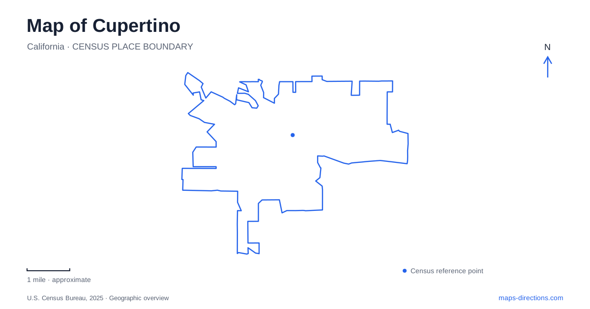
Street tiles load from OpenStreetMap when opened. The blue line shows the 2025 Census boundary.
- State
- California
- Population · July 2025
- 58,333
- Land area
- 11.3 sq mi
- Water area
- 0.0 sq mi
Cupertino's map contains a useful contrast between the broad Stevens Creek Boulevard corridor and the quieter landscape following Stevens Creek itself. The boulevard links civic, commercial, and recreation destinations, while the watercourse connects preserved ranch land and park facilities. Memorial Park and the Torre Avenue civic complex add two more gathering places with different functions. Together, these settings offer a local geography beyond the city's association with technology companies.
A preserved ranch beside the creek
McClellan Ranch Preserve is at 22221 McClellan Road. The city describes an eighteen-acre former horse ranch with an Environmental Education Center and Baer Blacksmith Shop. Historic and reconstructed structures include barns, a water tower, and a ranch house, retaining evidence of the valley's rural past within the modern city.
The preserve has several distinct walking options. A paved route follows the creek corridor toward Stevens Creek Boulevard, while a short dirt nature loop explores the creek and meadow. A separate connection leads toward Linda Vista. These routes differ in surface and purpose, with the nature trail reserved for walking rather than bicycle travel.
The ranch setting gives Cupertino a place where landscape and history can be read together. Barns and working-garden areas introduce earlier land uses, while the creek and meadow support environmental interpretation. The blacksmith shop adds a craft tradition to that experience, making the preserve more than a piece of open land left between residential streets.
Blackberry Farm continues the corridor
Blackberry Farm is listed at 21979 San Fernando Avenue. Its pools, picnic sites, playground, bocce courts, and sand volleyball facilities create a more active recreation setting than the ranch preserve. The city directs visitors through local streets including McClellan Road and Byrne Avenue to reach the San Fernando entrance.
The Stevens Creek Trail connects these neighboring landscapes. The city's park-system plan describes continuous lands along the creek from McClellan Road to Stevens Creek Boulevard, including the preserve, Blackberry Farm, golf grounds, and other parcels. That geographic continuity is the reason to view the corridor as a whole before selecting an individual activity.
For an outdoor day in Cupertino, the sequence offers meaningful variety: a rural-history and nature setting, organized picnic and swimming facilities, and the walking route that joins them. It is also a reminder that the creek and the boulevard are different map features. One bends through parkland, while the other provides the wider east-west road reference.
Memorial Park and its neighboring facilities
Memorial Park is at 21121 Stevens Creek Boulevard. The city map places Mary Avenue on one side and North Stelling Road on the other, with the Quinlan Community Center, Senior Center, and Sports Center forming a broader recreation cluster around the park. Within the grounds are an amphitheater, gazebo, sports areas, and a veterans memorial.
The map identifies parking approaches from Alves Drive and Mary Avenue, showing how the park meets several surrounding streets. This arrangement suits a place used for community events as well as everyday recreation. A visitor attending a performance may focus on the amphitheater, while a class or indoor activity can lead to one of the neighboring centers.
This is a more civic landscape than the creek corridor. Lawns, gathering spaces, and nearby buildings support shared events, whereas the ranch and creek emphasize environmental and rural history. Seeing both areas gives a fuller picture of Cupertino's public spaces without treating every park as the same kind of destination.
Torre Avenue and art along Stevens Creek Boulevard
The public library stands at 10800 Torre Avenue within the Civic Center complex. The city owns the facility, while the Santa Clara County Library District operates its services. That location supplies another clear civic anchor, separate from the Memorial Park group of recreation buildings.
Along Stevens Creek Boulevard, the public art inventory introduces several additional landmarks. “Biltmore Family,” by Archie Held, is at 20080 Stevens Creek Boulevard. Farther along the corridor, the Main Street development at 19401 contains the “Bots” mural and Calabazas Creek markers. These works attach visual identity to commercial space and provide details worth noticing beyond the road's larger-scale traffic function.
The combination of library, park, creek preserve, and art-bearing commercial frontage explains the variety within Cupertino. A map can be read along the boulevard to compare urban destinations, then followed into the creek corridor to understand a different landscape. The named roads and preserved ranch structures connect those two readings: one emphasizes the contemporary city, while the other makes earlier land use and the natural watercourse visible within it.
Map and statistics: U.S. Census Bureau, 2025 Gazetteer, January 2025 generalized place boundaries and Vintage 2025 population estimates. Local references: City of Cupertino. Article prepared by Maps & Directions.