Map of Covington
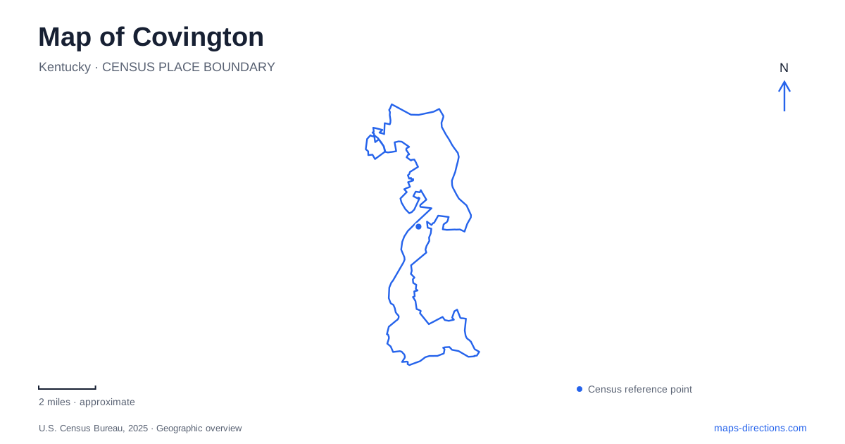
Street tiles load from OpenStreetMap when opened. The blue line shows the 2025 Census boundary.
- State
- Kentucky
- Population · July 2025
- 41,847
- Land area
- 13.2 sq mi
- Water area
- 0.6 sq mi
Covington sits beside the meeting of the Ohio and Licking rivers, a setting that gives its street map two different waterfronts. The Ohio faces Cincinnati, while the Licking defines another edge of the historic city. Inland, older residential and commercial districts occupy a compact network of streets before the terrain rises toward Devou Park. Understanding the river junction, bridge landing, neighborhood centers and hilltop park produces a much richer picture than treating the city simply as the opposite bank from Cincinnati.
The Point and the suspension bridge
The confluence is historically known as the Point. A Kentucky historical marker at George Rogers Clark Park on Riverside Drive identifies this meeting of rivers and records its earlier role as a gathering place for military expeditions. The location explains why river travel and crossings became so important to the development of the surrounding streets.
The John A. Roebling Suspension Bridge spans the Ohio and had its formal opening on January 1, 1867. Its southern landing gives Roebling Point a clear geographic identity. This district combines the approach to the bridge with riverfront connections and nearby dining and commercial activity. The bridge is both a transportation structure and a visual organizing feature: streets and public spaces near its landing relate to a crossing whose scale is much larger than an ordinary city block.
For a map of Covington, the two rivers also establish orientation. Traveling along the Ohio waterfront and following the Licking southward are different directions from the same general corner of the city. The confluence joins them physically, but each river edge has its own relationship to adjoining neighborhoods.
Licking Riverside's residential character
Historic Licking Riverside extends toward the Point, with the Baker Hunt Art and Cultural Center anchoring its southern side. The neighborhood contains a varied collection of Federal, Greek Revival, Italianate, Queen Anne and other architectural forms. Its streets reveal residential development across several periods rather than a single uniform building campaign.
This provides a contrast with the immediate bridge landing. Roebling Point acts as a gateway and commercial focus, while nearby residential blocks contribute a quieter architectural setting. The distinction can be read without drawing an artificial barrier between them: public streets connect the areas, yet building use, scale and frontage create recognizable changes over a short distance.
MainStrasse and the clock tower
MainStrasse lies west of the riverfront employment and convention-center area. Its mix of historic buildings, dining, green space and gathering places makes it another distinct center within Covington. Goebel Park is an important part of that public landscape, giving the district a park setting alongside its commercial streets.
The park's Carroll Chimes Clock Tower was completed in 1979 and is designed in a German-inspired style. Its name honors former Kentucky governor Julian Carroll, while the park itself is named for William Goebel. Those two names refer to different people and different parts of the site. The tower adds a conspicuous landmark to an older neighborhood, showing how later civic projects can become central to the way a historic district is recognized.
A cathedral farther along Madison Avenue
The Cathedral Basilica of the Assumption occupies the site chosen at the northeast corner of Twelfth Street and Madison Avenue. Construction began in 1894, and the cathedral was dedicated for use in 1901 before all exterior and decorative work was complete. The facade and stained-glass installation followed in a later phase, completed in 1910.
Its location places a major architectural destination farther into the street grid from the Ohio River. A visit centered on the cathedral therefore adds a different part of Covington to the waterfront and MainStrasse districts. The building's phased construction also makes its appearance a record of sustained fundraising and craftsmanship rather than a structure created all at once.
The hills of Devou Park
Devou Park changes the map's scale and elevation. The park originated with a family estate donated in 1910 and now includes extensive wooded grounds, trails, golf, picnic areas and cultural facilities. Drees Pavilion and the memorial overlook occupy the viewing landscape, while the Behringer-Crawford Museum provides a separate destination within the park.
The band shell opened in 1939 as a Works Progress Administration project, adding a performance setting to the former estate. Roads and trails serve different parts of these grounds, so the park is best understood as a collection of connected landscapes rather than one compact lawn. Its hilltop views also help explain the relationship between the river-level city and surrounding terrain.
Seen together, these places reveal Covington through changes in setting: the Point at the river junction, the bridge gateway, residential architecture, a lively park-and-street district, a cathedral corner and wooded heights. Each contributes a specific geographic clue, allowing the city to retain its own identity within the larger metropolitan map.
Map and statistics: U.S. Census Bureau, 2025 Gazetteer, January 2025 generalized place boundaries and Vintage 2025 population estimates. Local references: Kentucky Historical Society; City of Covington; Covington Neighborhood Collaborative; City of Covington Parks reservation system; Cathedral Basilica of the Assumption. Article prepared by Maps & Directions.