Map of Corvallis
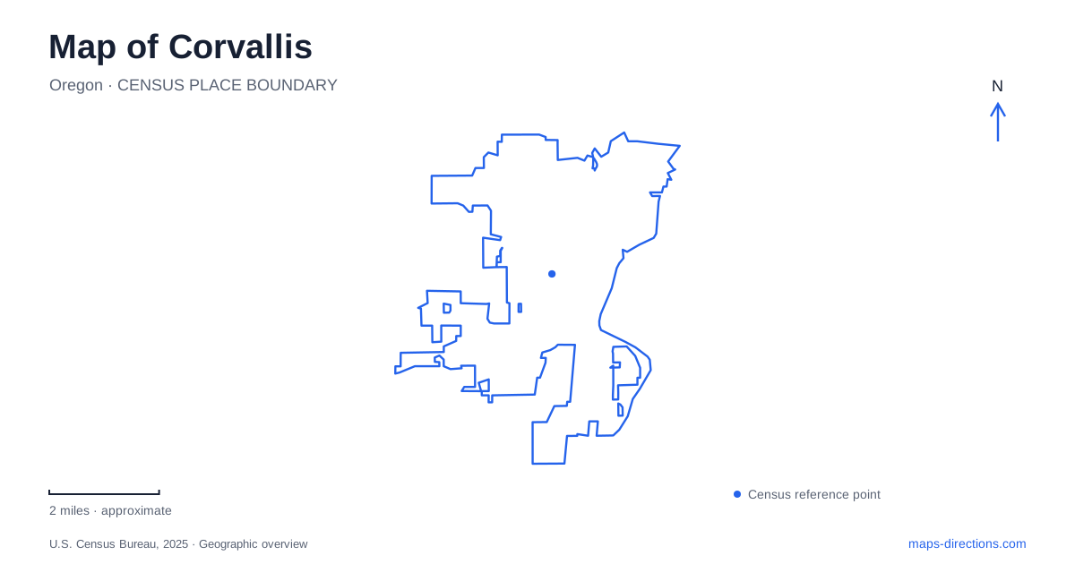
Street tiles load from OpenStreetMap when opened. The blue line shows the 2025 Census boundary.
- State
- Oregon
- Population · July 2025
- 61,499
- Land area
- 14.5 sq mi
- Water area
- 0.1 sq mi
Corvallis has several distinct edges that make its map easier to understand: the Willamette River beside downtown, the university campus farther west, and wooded hills beyond the developed street network. The Marys River adds another line across the southern part of this landscape before meeting the larger river. These features give a trip more structure than a collection of isolated addresses. A downtown walk, a campus visit, and an outing to Bald Hill each occupy a different part of the same relatively compact urban setting.
Begin beside the Willamette
Riverfront Commemorative Park follows First Street along the downtown river edge. Its long shape matters more for orientation than a single park symbol. The northern end reaches the boat-ramp area, while the southern end extends toward Shawala Point at the meeting of the Willamette and Marys rivers. Plazas, overlooks, and a shared path turn the waterfront into a linear public space rather than one central lawn.
This is a useful starting point for reading Corvallis because downtown lies on one side of that corridor and the river on the other. A sequence of riverfront stops can be arranged along the bank, while destinations farther inland require movement away from First Street. The confluence at the southern end also explains why the shape of the waterfront changes there: two waterways, rather than a simple bend in one river, define the point. At a wider map scale, keep that junction visible to understand the relationship between downtown and the parks to its southwest.
Follow the Marys toward Avery Park
Avery Park and Natural Area sits south of downtown beside the Marys River. Its rose garden, recreation facilities, and riparian paths occupy a setting that feels different from the narrow downtown waterfront. The city gives two particularly helpful approaches: from the Highway 20/34 bypass at Fifteenth Street, crossing south into the park, or from Highway 99W along Avery Avenue. These road relationships locate the park more clearly than its name alone.
The river also helps distinguish this destination from Marys River Natural Area, a separate wetland and floodplain site off Brookline Drive in the southwest. That area includes a boardwalk and a landscape shaped by wet ground. On a Corvallis map, the two places belong to the same river system but serve different kinds of outings. Avery combines cultivated and recreational spaces with river habitat; the Brookline site puts the floodplain itself at the center of the visit. Reading their names as separate destinations prevents an otherwise understandable mix-up.
Read the university through its streets
Oregon State University's main campus address is on Southwest Jefferson Way. The campus map places Monroe Avenue along its northern side, with Jefferson Way and Washington Way forming important east–west references within the broader campus area. Western Boulevard provides another recognizable line to the south. Numbered streets, including Fifteenth, Twenty-sixth, and Thirtieth, help establish position across this area.
The result is a different map pattern from the riverfront. Here, named academic buildings and open spaces sit inside a larger framework of streets, paths, and campus blocks. For a visit involving several university destinations, identify their relationship to Jefferson and Washington first, then compare the numbered streets. That gives a consistent way to describe movement between buildings without treating every building label as a separate neighborhood. A campus map is especially useful at this scale because ordinary city maps can underemphasize the pedestrian spaces between the street lines.
Continue west to Bald Hill
Bald Hill Natural Area introduces the foothill landscape west of Corvallis, beside the Benton County Fairgrounds. Official access information identifies Oak Creek Drive, Reservoir Avenue, and the Midge Cramer Path. Those names reveal several approaches to a broad natural area rather than a single roadside attraction. The path network connects the Reservoir Road and Oak Creek Road sides with the fairgrounds area.
Upland prairie, oak savanna, woodland, and wetlands all occur here. These habitats explain why a map of the area contains both open expanses and wooded slopes, and why a trail outing has a different shape from a walk along First Street. The westward progression from campus streets to fairgrounds and foothills is one of the clearest ways to understand the city's changing landscape.
For a first overview of Corvallis, keep the confluence, university, and western trail approaches on the same map. They establish three useful geographic reference points without reducing the place to a single center. Then enlarge whichever area matches the day's purpose: riverbank paths downtown, campus blocks around Jefferson Way, or the broader terrain around Bald Hill.
Map and statistics: U.S. Census Bureau, 2025 Gazetteer, January 2025 generalized place boundaries and Vintage 2025 population estimates. Local references: City of Corvallis; Oregon State University. Article prepared by Maps & Directions.