Map of Coral Springs
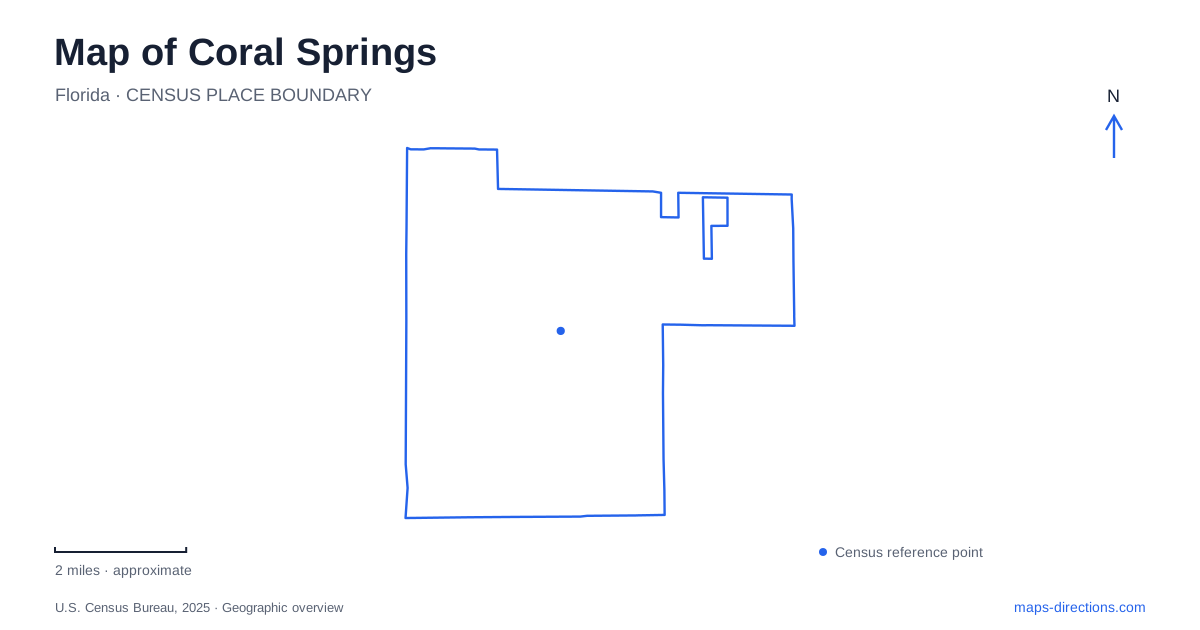
Street tiles load from OpenStreetMap when opened. The blue line shows the 2025 Census boundary.
- State
- Florida
- Population · July 2025
- 138,783
- Land area
- 22.9 sq mi
- Water area
- 1.1 sq mi
Coral Springs began as a planned community on land previously used for farming and cattle. That origin is visible in the way its history is presented: subdivision plans, a sales office and a deliberately memorable covered bridge are central landmarks. They tell a different story from a town that grew around a courthouse or nineteenth-century railway station. At the same time, preserved woodland and wildlife facilities reveal an environment that cannot be understood through development plans alone. The city's map holds both an intentionally designed urban landscape and remnants of South Florida's ecological variety.
A bridge helped sell a new community
The historic covered bridge stands on Northwest 95th Avenue just south of Wiles Road. Coral Ridge Properties built it as an entrance landmark and a way to attract attention to the new development. Its barn-red color and colonial appearance were chosen to suggest a particular vision of country life on land that was still sparsely developed.
George Hodapp designed the structure, and the city's account connects its setting with a former bridle path and saddle-club ring. These associations help explain the image promoted to early buyers. The bridge was not an accidental survival from a remote nineteenth-century settlement; it belonged to the marketing and planning of the new city itself.
The landmark remains an unusually direct connection with early Coral Springs. Its position near Wiles Road is also significant because that road provided the original approach into the development. Reading the bridge in relation to the access road makes its historical purpose clearer than treating it only as a picturesque object.
The first sales office became a historical artifact
The Museum of History began as a small real-estate sales office built in 1964. It originally stood at the northwest corner of Wiles Road and State Road 441, outside the city boundary at that time. Sales staff used the master plan, neighborhood plats and builders' model information to describe a community that was still taking shape.
The modest office therefore represents the process by which the planned city was introduced to prospective residents. Maps were part of the product being sold: buyers were being shown an intended arrangement of roads, neighborhoods and homes, not simply an established town they could already explore in full.
Today, the museum interprets that development history through models, salvaged objects and displays. For understanding Coral Springs, it offers a useful counterpart to the covered bridge. One was an outward-facing landmark; the other was a working room where the larger plan was explained. Their stories reveal how physical construction and a carefully presented civic identity developed together.
Street patterns were part of the design
The city's public-art planning documents describe the use of different street patterns to give individual developments their own character. The urban form was therefore shaped by choices at the neighborhood level as well as by the principal roads connecting them.
The same documents trace public art from the covered bridge to later sculptures, fountains, mosaics and integrated artworks. These works form a dispersed cultural layer across public spaces. Rather than expecting all local art to occupy one museum block, a detailed map can be read as a network of civic and neighborhood settings where design has been used to establish identity.
Tall Cypress protects an urban forest
Tall Cypress Natural Area, at 3700 Turtle Run Boulevard, preserves a dense canopy that changes from cypress to slash pine. Shallow depressions contain willow and pond apple, while palms, red maple and strangler fig add further variety. Beneath them, ferns, saw palmetto and other plants create thick ground-level growth.
The county's elevated boardwalk allows visitors to experience this landscape without attempting to pass directly through the dense understory. Interpretive signs and designated paths organize access within a natural area whose ecological structure differs sharply from a mown recreation field.
This forest is a reminder that the developed street network surrounds living habitat. Its value on a city map is not just the acreage colored green, but the particular plant communities and wet-ground conditions preserved within that boundary.
Wildlife care on Sportsplex Drive
Sawgrass Nature Center and Wildlife Hospital adds another environmental setting at 3000 Sportsplex Drive in Coral Springs. The organization combines education with treatment and rehabilitation of injured, sick and orphaned native wildlife. Its stated aim is to return animals to the wild when possible.
The center established its permanent home on Sportsplex Drive in 2006, after beginning as a smaller effort in 1995. That history makes it a community institution with a different purpose from a passive nature preserve. Together, the forest, wildlife center and early development landmarks give a map of Coral Springs both ecological depth and a clear account of how the modern city was created.
Map and statistics: U.S. Census Bureau, 2025 Gazetteer, January 2025 generalized place boundaries and Vintage 2025 population estimates. Local references: City of Coral Springs; Broward County Parks; Broward County; Sawgrass Nature Center and Wildlife Hospital. Article prepared by Maps & Directions.