Map of Coppell
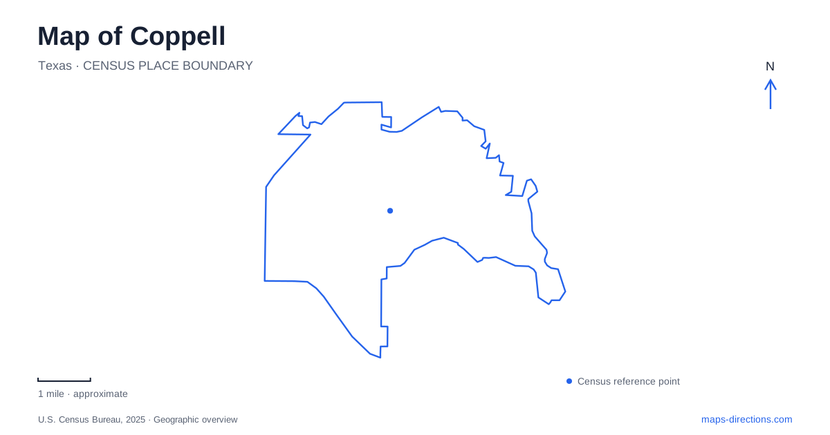
Street tiles load from OpenStreetMap when opened. The blue line shows the 2025 Census boundary.
- State
- Texas
- Population · July 2025
- 41,386
- Land area
- 14.4 sq mi
- Water area
- 0.3 sq mi
Coppell has several centers of activity that make more sense when its older landscape is considered alongside its modern parks. A railway settlement, a spring-fed historic site, sports grounds, and an environmental education center each contribute a different layer. Following those layers gives a map more meaning than treating every green area as interchangeable or assuming that the historic town and the municipal recreation complex developed together.
A railway name and an agricultural beginning
The community was once known as Gibbs. Its post office adopted the name Coppell in 1892, while municipal incorporation came much later, in 1955. That long interval matters: the settlement already had an established identity before it became an incorporated city. Historical maps and modern municipal maps therefore describe different stages of the same place.
The city's historic resource survey connects the railway community with an agricultural economy that included cotton, wheat, oats, and sweet potatoes. Its early businesses expanded beyond the station itself. A pharmacy opened under Dr. Jess Bennett in 1905, a lumber business followed in 1909, and a bank appeared in 1914. These are useful clues to the functions of the old commercial center: local trade and farming supported a cluster of services rather than a single railroad facility standing in isolation.
That history also explains why Old Town deserves attention on a map even when a visitor's main destination lies elsewhere. It represents the earlier settlement pattern, while other civic and recreational destinations reflect the much larger community that developed afterward. The distinction is about how the place grew, not simply the age of individual buildings.
Grapevine Springs and the Park Road approach
Grapevine Springs Park occupies 23 acres at 700 South Park Road. The municipal inventory identifies a stream, pond, picnic space, and trails. Its setting makes water part of the local story on a much smaller scale than the large reservoirs elsewhere in the region.
The historic resource survey identifies Park Road as an approach from West Bethel Road and describes the site's connection with Sam Houston's 1843 encampment. It also records Depression-era work by the Works Progress Administration, including stone paths, bridges, walls, and a dam across Grapevine Creek. These details belong to the landscape's history; they should not be read as a guarantee that every recorded structure survives unchanged.
On a map of Coppell, this is a particularly useful place to connect a street address with a deeper historical setting. The creek, park, and older town area are part of an overlapping landscape. A walk focused on the natural setting and a visit focused on early settlement history can therefore begin with the same small group of mapped features.
Different parts of the Andrew Brown park system
Andrew Brown Park Central is listed at 364 North Denton Tap Road. The city's inventory describes eight acres with lighted fields and facilities for sports including football and lacrosse. Its identity is strongly connected to organized field activities.
Andrew Brown Park East, at 260 East Parkway Boulevard, has a much larger listed footprint of 118 acres. Its inventory includes bike trails, fishing, picnic areas, and several named pavilions. Boardwalk, Grand, Kid Country, Performance, and Phillips are pavilion names within that park, providing more detailed reference points than the broad park label alone.
These addresses show why Parkway Boulevard and Denton Tap Road are useful orientation lines for the recreation system. The city also identifies separate East, Central, and West segments in its trail-marker scheme. Reading the subdivision names helps reveal a connected recreational district with different purposes, rather than one uniform field or one entrance serving every activity.
Nature education beyond the ballfields
The Biodiversity Education Center adds another kind of outdoor destination to Coppell. It is within Wagon Wheel Park on the city's west side, reached through the park's main entrance from Freeport Parkway. The published address is 367 Freeport Parkway.
The city's arrival directions are unusually helpful: visitors park near the kiosk and lone batting cage by the baseball fields, then follow the middle concrete path on foot toward the building. The center is not visible from that parking area. Here, the sports complex is part of the approach to a place whose purpose is environmental learning, so the first view of ballfields does not describe the whole site.
The center is a certified Texas Aquatic Science field site and offers indoor and outdoor environmental programming. Together with Grapevine Springs and the larger recreation parks, it gives Coppell several distinct ways to explore outdoors: historic creekside landscape, broad public recreation space, and a setting designed specifically for studying the natural world.
Map and statistics: U.S. Census Bureau, 2025 Gazetteer, January 2025 generalized place boundaries and Vintage 2025 population estimates. Local references: City of Coppell. Article prepared by Maps & Directions.