Map of Conway
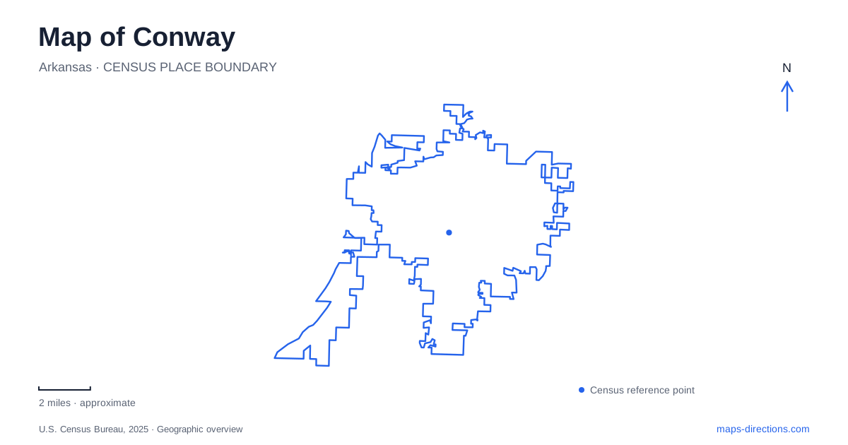
Street tiles load from OpenStreetMap when opened. The blue line shows the 2025 Census boundary.
- State
- Arkansas
- Population · July 2025
- 72,328
- Land area
- 46.7 sq mi
- Water area
- 0.2 sq mi
Conway has a geography shaped by educational campuses, small creek corridors, and a historic river landing beyond the central neighborhoods. The University of Central Arkansas and Hendrix College provide distinct academic settings, while trails follow watercourses through developed areas. Cadron Settlement Park introduces the much larger Arkansas River and an earlier history of travel and trade. These places help organize a visit around actual local relationships instead of treating the city as a single college campus or a highway stop.
Donaghey Avenue and the university district
The University of Central Arkansas lists its campus address at 201 Donaghey Avenue. That street is an important reference for the university, but individual buildings have more specific locations. Reynolds Performance Hall, for example, occupies the southeastern part of campus at 223 Beatrice Powell Street. Its 1,200-seat theater opened in 2000, bringing a substantial performing-arts venue into the academic landscape.
Donaghey Hall shows a different relationship between campus life and the surrounding city. The four-story building at 242 South Donaghey Avenue combines upper-floor student residences with businesses and university-related spaces below. This arrangement places everyday commercial activity at the edge of the educational setting rather than separating it into a distant retail district.
For Conway visitors, the distinction between the university's general address, a performance venue, and a residential-commercial building is useful context. Each belongs to the same institutional area but serves a different purpose. The street network becomes more understandable when the campus is read as a collection of destinations rather than as one entrance.
Hendrix and Washington Avenue
Hendrix College occupies a separate campus at 1600 Washington Avenue. Its map identifies Washington, Harkrider, and nearby neighborhood streets as references around academic buildings, residence halls, performance spaces, and athletic facilities. The Village at Hendrix adds housing and neighborhood activity beside the college.
This second educational district gives Conway more than one center of campus life. Washington Avenue and Donaghey Avenue refer to different places, institutions, and surrounding street patterns. The distinction is especially important for a performance, admissions visit, or athletic event: the name of the college determines the relevant part of the city before any individual building is considered.
The college map also shows how a campus sits within an ordinary neighborhood network. Streets continue to serve homes and local destinations around the grounds, while internal walkways organize movement between institutional buildings. Seeing both layers makes the area easier to understand than using a general city map alone.
Tucker Creek and the Kinley Trail
The Kinley Trail follows Tucker Creek for approximately 3.1 miles between Tyler Street and Hogan Lane. It began as the city's original walking and cycling trail and received its present name in 2017 in honor of former mayor Dave Kinley, whose administration helped establish the trail system.
Tucker Creek flows southwest toward Lollie Bottoms, joining Tupelo Bayou on its way to the Arkansas River. The watercourse gives this outdoor route a direction independent of the surrounding street grid.
Stone Dam Creek and the highway crossing
Stone Dam Creek begins on the university campus and flows southeast. The trail along it developed through a connection between university-built and city-built sections. A pedestrian bridge completed in 2019 carries the route over Dave Ward Drive, and an underpass added in 2022 takes it beneath South Donaghey Avenue as the trail extends toward South German Lane.
Those two structures are important features on a map of Conway. They show where a walking and cycling corridor crosses major roads without simply following the nearest street intersection.
Cadron and the Arkansas River
Cadron Settlement Park is at 6200 Highway 319. The 150-acre park includes hiking routes, picnic areas, a boat ramp, and a reconstructed blockhouse representing a late-eighteenth-century building used for trade and gathering. Its river setting recalls a time when a landing could be central to travel and commerce.
The site also records the Cherokee Trail of Tears and the suffering of people forced through the area in the 1830s. Later, the port served the Butterfield Overland Mail Route. These histories give the park significance beyond outdoor recreation and require attention to both voluntary travel and forced displacement.
Together, the campuses, creek trails, and Cadron riverfront give Conway several connected scales of geography: neighborhood streets, urban watercourses, and a major river corridor. Each reveals a different way that people have moved through and shaped this part of central Arkansas.
Map and statistics: U.S. Census Bureau, 2025 Gazetteer, January 2025 generalized place boundaries and Vintage 2025 population estimates. Local references: University of Central Arkansas; Hendrix College; City of Conway. Article prepared by Maps & Directions.