Map of Conroe
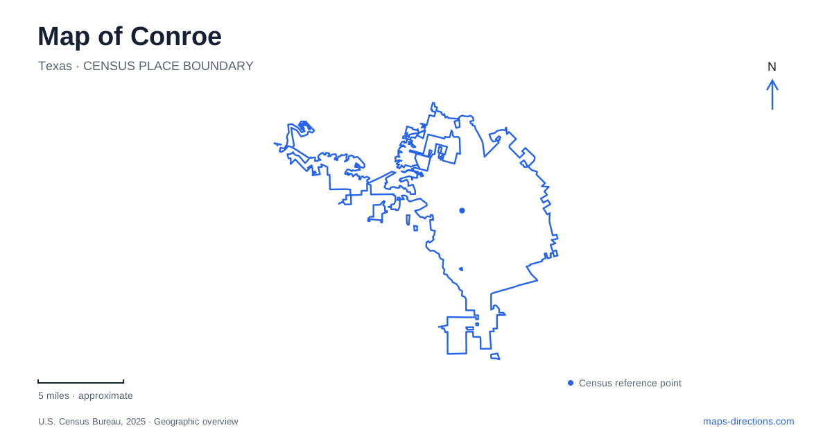
Street tiles load from OpenStreetMap when opened. The blue line shows the 2025 Census boundary.
- State
- Texas
- Population · July 2025
- 119,564
- Land area
- 75.8 sq mi
- Water area
- 0.8 sq mi
Conroe has a compact historic downtown, a separate park and museum setting, and regional water and forest landscapes beyond the central streets. The courthouse and theaters belong to the city's commercial history, while the reservoir and state forest reveal different relationships with natural resources. A map that includes all three scales gives the area more context than a search centered only on the lake. Main Street, Metcalf Street, and FM 1488 each introduce a different part of that story.
Courthouse blocks and performance spaces
The Montgomery County Courthouse stands on North Main Street and anchors the downtown shopping district. The city's historic walking tour dates the courthouse to 1936 and places other commercial buildings along Main, Simonton, and West Davis. Those streets provide the framework for a walk through the older center.
The tour identifies several buildings from 1911 on Simonton Street, including the Koonce-Gentry, J. L. Hicks, and Collier-Harris buildings. On North Main, it identifies the West Building from the same year and the Capital Drug and Masonic buildings from 1912. These dates reveal a concentration of early twentieth-century commercial construction rather than a downtown formed at one moment.
The Crighton and Owen theaters add a performance focus to the district. The tourism office connects downtown's identity with the timber and oil boom periods, which helps explain why cultural spaces and substantial commercial buildings appear within a relatively small street network. A downtown visit can follow that history through the buildings and their present uses.
Metcalf Street provides another local reference. Municipal facility records place Founders Plaza at 205 Metcalf and Heritage Place Park at 500 Metcalf. These public spaces extend the downtown experience beyond the courthouse blocks. Their shared street is useful for understanding the relationship between civic landmarks, performance activity, and outdoor gathering areas in Conroe.
County history beside Candy Cane Park
The Heritage Museum of Montgomery County occupies a different setting from Heritage Place Park. Its own history describes a house moved to Candy Cane Park in 1985, where the museum presents exhibits about the county's lumber and oil industries and residents' everyday lives. The building's relocation is part of the museum story: its present park setting is not simply the original location of an unchanged historic property.
The city's recreation records identify the Candy Cane Park complex with Candy Cane Lane and Parkwood West. The tourism office places the playground area behind the museum. This pairing allows a visit to combine indoor local history with outdoor recreation without treating the museum as another courthouse-square building.
The two Heritage names therefore describe different places. One is a downtown public space on Metcalf; the other is a museum associated with Candy Cane Park. Their themes overlap, but their street settings and visitor experiences are distinct.
Lake Conroe is regional water infrastructure
The Texas Water Development Board places the reservoir northwest of the city on the West Fork of the San Jacinto River, extending into Montgomery and Walker counties. Completed in 1973, it was developed as an alternate water supply for Houston. Its footprint is much larger than an urban park lake, and its watershed role reaches beyond the city that shares its name.
The San Jacinto River Authority manages the dam, reservoir operations, and source-water protection. Its responsibilities include regulation of structures and commercial uses around the water. The lake's recreation landscape consequently sits within a working water-supply system rather than outside it.
Texas Parks and Wildlife describes open water across much of the lower reservoir, with standing timber remaining near the river channel in the upper reaches. That contrast gives the broad blue shape on a map internal character. The upper river-influenced setting and lower open-water setting are different environments within the same reservoir.
A working forest south of the downtown setting
W. G. Jones State Forest supplies another resource landscape near Conroe. Texas A&M Forest Service describes it as a working urban forest devoted to resource education, research, and demonstration of forest-management practices. It is surrounded by developed communities, yet its purpose includes active study of trees, habitat, and forest products.
The district office on FM 1488, west of Interstate 45, provides the principal road reference in the agency's visitor information. This positions the forest separately from both the downtown streets and reservoir shoreline. Together, these places explain Conroe through commerce, county history, water supply, and forestry, giving each destination a geographic setting and a reason for being there.
Map and statistics: U.S. Census Bureau, 2025 Gazetteer, January 2025 generalized place boundaries and Vintage 2025 population estimates. Local references: Visit Conroe; City of Conroe and Heritage Museum; City of Conroe; Heritage Museum of Montgomery County; Texas Water Development Board; San Jacinto River Authority; Texas Parks and Wildlife Department; Texas A&M Forest Service. Article prepared by Maps & Directions.