Map of Connecticut
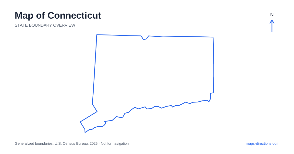
Connecticut is compact enough to fit comfortably on a small map, but its journeys are shaped by a busy coastline, a central river valley and hillier inland districts. Hartford, New Haven, Bridgeport and Stamford give the urban pattern recognizable anchors. Their proximity does not make every connection equally simple: bridges, city approaches and the direction of the highways still matter. A good reading of the state begins by separating the Long Island Sound shoreline from the inland corridors, then locating the destination within the smaller town network between them.
Start with the shoreline rather than the highway number
The southern edge faces Long Island Sound, with coastal communities extending from the southwestern corner toward the eastern border. Stamford and Bridgeport belong to the western part of this shoreline chain, while New Haven sits farther east around its harbor. New London occupies another distinct coastal area near the Thames River. Each has its own waterfront geography and road approaches.
Interstate 95 provides a major connection along this broad coastal corridor, but an exit does not necessarily place you near the particular harbor, beach or station you intend to reach. Local roads can turn inland before returning toward the water. When mapping a coastal stop, identify its exact frontage and access street. A general city label is a poor substitute for a specific waterfront arrival point.
Understand the central valley
The Connecticut River runs south through the middle of the state and reaches the Sound between Old Saybrook and Old Lyme. Hartford lies along this river corridor, with Middletown farther south. The river helps organize the regional map, but it also separates destinations on opposite banks. A riverside road is not necessarily a route to the nearest bridge.
Mark crossings before selecting a base for visits on both sides of the valley. A destination visible across the water can require a longer approach than a place farther away on the same bank. In a detailed view, distinguish a local bridge from a highway crossing and check which roads actually connect to it. This prevents the broad valley shape from hiding the practical route into a neighborhood or smaller town.
Use the principal inland connections
Across Connecticut, Interstate 91 follows the main north-to-south corridor between New Haven and Hartford and continues toward Massachusetts. Interstate 84 crosses the interior through the Danbury, Waterbury and Hartford areas before heading northeast. The junctions around the capital are therefore useful decision points for travel, rather than just marks on the way to another coastal city.
The relationship between these highways is helpful when arranging several stops. A trip from the southwestern region into the central valley follows a different pattern from one continuing along the Sound. Draw the intended sequence through the relevant cities before choosing optional detours. Switching repeatedly between coastal and inland corridors can add unnecessary travel even when all the points appear close together on a statewide overview.
Read the western hills at a local scale
The northwest contains the Litchfield Hills, with smaller towns, wooded slopes and river valleys creating a road pattern different from the coastal urban chain. Torrington and the surrounding towns help locate this part of the map. The Housatonic River provides another strong orientation line farther west, and roads often follow valleys or wind between higher ground.
For a rural stay, distinguish the postal address from the nearest well-known town used in a description. A property may sit outside the town center along a smaller road, adding a meaningful final leg to the journey. Likewise, a scenic road should be traced all the way to its connection with the next destination. A pleasant local loop and an efficient regional transfer are different uses of the same map.
Give the eastern towns their own geography
Eastern Connecticut is not simply the space between the capital and the coastal cities. Norwich sits inland from New London, while the northeastern towns occupy a quieter landscape of smaller settlements, woodland and local roads. Interstate 395 forms an important north-to-south connection in the eastern part, separate from the central valley corridor.
A visit that includes an eastern coastal destination and an inland town may work well as one regional cluster. Combining it with far-western stops is a different proposition. Plot the exact sequence rather than assuming a small state means negligible travel between all corners. This is particularly useful for events with fixed arrival times, where the final local approach can matter as much as the broad highway distance.
Match the map detail to the journey
For a first overview, identify the shoreline, Hartford's central position, the two major river corridors and the western hills. For actual arrivals, switch to a street-level view that shows the right bridge, parking entrance or station approach. The same city may be reached from several directions, and a route to its center may not suit the destination's access arrangements.
A Connecticut itinerary becomes clearer when each day follows a coherent region: the western coast, the central valley, the hills or the eastern towns. Use the statewide map to choose that region and a local map to connect its stops. This preserves the advantage of relatively short regional distances without ignoring the waterways, urban networks and winding inland roads that give the state its actual travel pattern.