Map of Concord
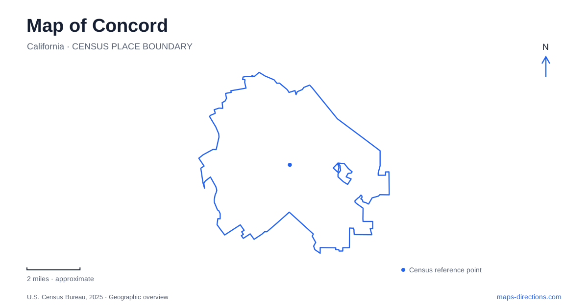
Street tiles load from OpenStreetMap when opened. The blue line shows the 2025 Census boundary.
- State
- California
- Population · July 2025
- 123,261
- Land area
- 30.6 sq mi
- Water area
- 0.0 sq mi
Concord's downtown is organized around a historic plaza, but the city's map extends into creek parks and ridge open space with very different patterns of access. Todos Santos Plaza supplies a compact central reference. Grant Street connects that setting with rail transit, while Treat Boulevard, Newhall Parkway, and Turtle Creek Road help locate outdoor destinations farther from the central blocks. These named streets provide a useful framework for understanding how the city changes from a downtown gathering place to more open landscapes.
Four streets around Todos Santos Plaza
Todos Santos Plaza occupies approximately two and a half acres between Salvio Street, Willow Pass Road, Grant Street, and Mount Diablo Street. Those four edges make it easy to recognize on a street map. The plaza's central public space includes trees, seating, and recreational features, while the surrounding blocks contain businesses and other downtown destinations.
The plaza was dedicated in 1869 by the town's founders. Its continuing role as a gathering place explains why concerts, markets, and civic activities repeatedly use the same location. The historical significance and present public use are therefore tied to a recognizable piece of urban geometry: a square enclosed by four named streets.
This is a useful starting point for exploring central Concord because it gives nearby addresses a clear reference. A destination on Salvio Street can be related to one edge, while an approach along Grant Street reaches another. The plaza is a public space within the street network, not an isolated attraction that can only be understood through a single entrance.
The two BART station names matter
Concord BART Station serves the downtown setting, and the tourism office identifies Grant Street as the walking connection toward Todos Santos Plaza. That street relationship is more useful than a general statement that the city has rail service. It shows how a regional journey can transition into a downtown walk.
North Concord/Martinez Station is a different stop at 3700 Port Chicago Highway. Its name should be kept intact when comparing travel options. The addition of “North” and “Martinez” does not simply describe another entrance to the downtown station. It identifies a separate location with its own surrounding road network.
The northern station opened in 1995 and briefly served as the end of the line before the extension over Willow Pass was completed in 1996. That history helps explain its position within the larger rail corridor. For a plaza-focused outing, Grant Street supplies the central connection; for a destination associated with Port Chicago Highway, the northern station provides a different geographic anchor. The destination on the ground should determine which rail stop belongs in the plan.
Galindo Creek through Newhall Community Park
Newhall Community Park follows Galindo Creek east of Treat Boulevard. The city identifies access from Newhall Parkway south of Clayton Road and from Turtle Creek Road. The creek meanders through the park, giving its open space a shape that differs from the rectangular downtown plaza.
The park includes ponds, athletic fields, bocce courts, a play area, and the fenced Paw Patch dog area. These facilities occupy different parts of the park landscape. A field visit and a creek-side picnic are therefore related by the park name but need not use the same internal destination.
The picnic-site descriptions make this distinction concrete. One group area is reached across a footbridge from the path parallel to Turtle Creek Road, while another is closer to the Newhall Parkway parking area across a grass field. This is a local example of why the facility name matters within a larger park. The two road approaches relate differently to individual spaces, and the creek crossing is part of that internal geography. Pond restoration work has also involved pedestrian detours, so current park notices remain relevant to a planned walk near the water.
Treat Boulevard and the Lime Ridge landscape
Lime Ridge Open Space includes a city-managed area northwest of Treat Boulevard between San Miguel and Cowell roads. The municipal facility page identifies the main parking approach from Treat Boulevard. The broader ridge landscape extends beyond that individual section, with open space held jointly with neighboring Walnut Creek and trails linked into a regional network.
This distinction between one access area and the wider ridge is useful when interpreting search results. A marker for Lime Ridge can refer to a large landscape, whereas Treat Boulevard identifies a particular approach. View areas, native oaks, grassland, and trails provide the setting here, replacing the civic buildings and commercial frontage of downtown.
Together, the plaza, rail stations, creek park, and ridge show several geographic scales within Concord. The plaza is defined by four streets; the rail stops belong to separate corridors; Newhall follows a winding creek; Lime Ridge requires attention to the specific access area within a larger open-space network. Reading those relationships makes it easier to choose an appropriate route for the actual destination.
Map and statistics: U.S. Census Bureau, 2025 Gazetteer, January 2025 generalized place boundaries and Vintage 2025 population estimates. Local references: City of Concord; Visit Concord; BART. Article prepared by Maps & Directions.