Map of Columbia
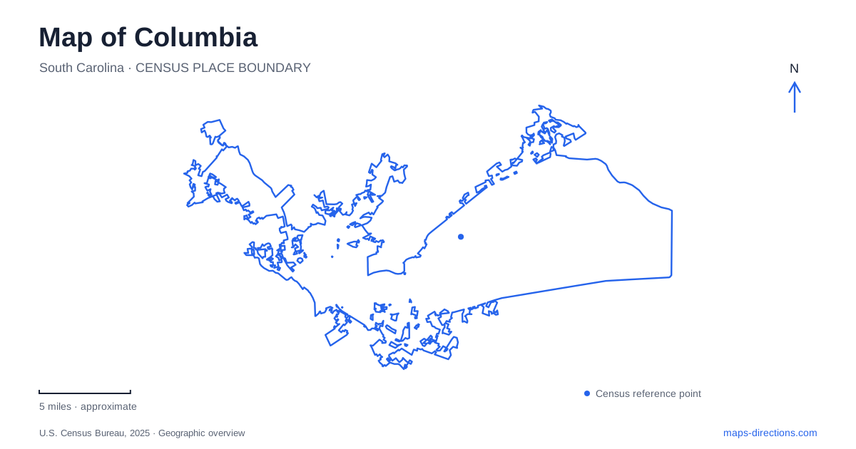
Street tiles load from OpenStreetMap when opened. The blue line shows the 2025 Census boundary.
- State
- South Carolina
- Population · July 2025
- 147,035
- Land area
- 139.4 sq mi
- Water area
- 3.0 sq mi
Columbia has several overlapping centers: the state government's formal grounds, a university campus, an old warehouse district and a river landscape. Their proximity can make them look like a single downtown destination at a small map scale. Enlarging the street grid reveals a more useful arrangement. Gervais Street, Assembly Street and the riverbanks help separate those centers, while the original campus has its own internal organization. Start with those features before choosing individual buildings. They explain why a civic visit, an architectural walk and a riverside outing follow different paths through the same central area.
Begin where three rivers meet
The Saluda and Broad rivers join to form the Congaree. This is a confluence, so three river names describe connected water rather than three unrelated recreation districts. The city's riverfront information places the Saluda Riverwalk along the north bank of its namesake river, with access to Boyd Island at its eastern end. The island occupies the meeting point and has a short loop path. A bridge connecting it to the canal corridor is described as a future addition; a proposed connection should not be read as an existing crossing.
Across the river landscape, Riverfront Park follows a narrow strip with the Columbia Canal on one side and the river on the other. That parallel pair of blue lines is a distinctive map clue. Canal repairs following the 2015 flood also mean that the historic waterway and its surrounding recreation system should not be imagined as an unchanging facility. Identify the particular bank and trail segment you intend to explore rather than treating all green river edges as one continuous route.
Read the State House as a campus
The State House stands at 1100 Gervais Street, at the intersection with Main Street. Its address supplies a clear reference for central Columbia, but the surrounding grounds occupy a larger area than the legislative building alone. The state identifies Gervais, Sumter, Pendleton and Assembly as the streets bounding the complex. Those four edges are more useful for orienting a visit than a single symbol centered on the dome.
A map of the grounds should distinguish the principal building from its lawns, monuments and neighboring government buildings. Someone interested in the outside setting is navigating a civic landscape; someone attending business inside a particular office needs that building's identity. Moving between those purposes can change which edge of the block is relevant. Use the named perimeter streets to compare the legislative grounds with the adjacent street network, then examine the smaller paths within the complex.
Warehouses, rail history and the Vista
West of Assembly Street, the Vista extends toward the Congaree River. Its edges are not universally defined, although Taylor and Blossom streets often frame descriptions of the district. Historic Columbia traces this area through freight handling, storage, manufacturing and working-class housing. That history explains the combination of substantial commercial buildings and a street network shaped by movement between the river, rail facilities and the city's commercial core.
The district's reuse as a place for dining, work and entertainment is only one part of its story. Urban renewal removed much of the predominantly African American Ward One neighborhood, including homes and community institutions. The landscape therefore contains both preserved industrial fabric and places where earlier buildings disappeared. Reading the Vista solely as an attractive collection of converted warehouses would miss that important difference.
For a map-based walk, compare Assembly's role as an eastern boundary with the river-facing side of the district. Individual blocks reveal changes in building scale and use that a broad entertainment-district label cannot explain. The historical layers are the reason to look closely, rather than assuming every older-looking structure had the same original purpose.
The Horseshoe's internal geography
The University of South Carolina's original campus is organized around the Horseshoe. Its recognizable shape developed over time, rather than appearing fully formed when the institution began. The university records that the nineteenth-century brick wall followed Sumter, Greene, Bull and Pendleton streets. Changes to the Sumter Street openings helped establish the familiar arrangement by the end of that century.
That history makes the space easier to interpret as a courtyard-like academic landscape within the larger street grid. Its buildings, paths and enclosing edges belong to a campus, while surrounding roads connect it to the rest of the city. The university also acknowledges the enslaved labor that sustained the early institution, an essential part of understanding the setting beyond its architecture.
A useful map of Columbia keeps these distinct patterns visible: the formal government block, the Vista's changing urban fabric, the campus enclosure and the branching river system. Together they offer a grounded introduction to the center without reducing its different histories to one sightseeing label.
Map and statistics: U.S. Census Bureau, 2025 Gazetteer, January 2025 generalized place boundaries and Vintage 2025 population estimates. Local references: City of Columbia; South Carolina Legislature; South Carolina Department of Public Safety; Historic Columbia; University of South Carolina. Article prepared by Maps & Directions.