Map of Colton
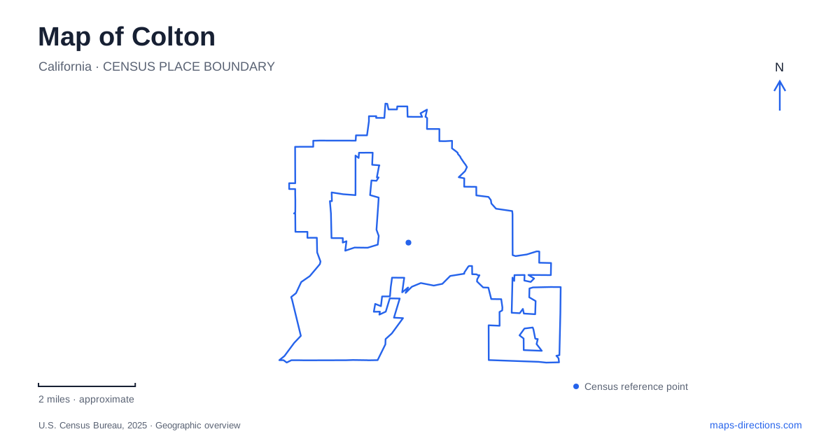
Street tiles load from OpenStreetMap when opened. The blue line shows the 2025 Census boundary.
- State
- California
- Population · July 2025
- 53,383
- Land area
- 15.6 sq mi
- Water area
- 0.5 sq mi
Colton grew where important transportation routes met, but its map also preserves a much older river landscape. Rail lines, Interstate 10, and Interstate 215 establish the regional framework. Within it, the downtown street grid, La Cadena Drive, and the Agua Mansa cemetery tell different parts of the local story. Reading those features together explains why residential blocks, industrial land, civic buildings, and historic sites can appear so close together while belonging to very different periods of development.
A railroad town and its street grid
The Southern Pacific arrived in 1875, and a formal town followed with a regular grid of streets. That arrangement remains visible downtown and in the neighborhoods south of Interstate 10. Railroad operations and citrus shipping supported each other: orchards needed access to distant markets, while the railway brought work, materials, and settlement. Later industrial businesses occupied land alongside the tracks as the citrus economy diminished.
South Colton developed a particularly close relationship between homes and employment. The city's historical account describes railroad workers building houses with wood reclaimed from shipping crates. Residential streets beside industrial property therefore reflect an established community pattern, rather than simply development around a freeway. The proximity once allowed people to walk to their jobs. On a map, the small residential blocks and larger industrial parcels offer a visible way to distinguish these overlapping uses of the same transportation corridor.
Understanding the famous rail crossing
Colton Crossing is a junction between two major freight rail systems. The modern project raised the east–west Union Pacific tracks over the north–south BNSF tracks, replacing a crossing where trains had to wait for movements on the other railway. The grade separation was dedicated in August 2013. This is an important distinction when comparing an older railroad diagram with a present-day aerial image: the lines still intersect in plan, but they pass at different elevations.
The crossing helps explain the scale of rail infrastructure here. It is a working freight junction, rather than a passenger destination or public viewpoint. When examining it from above, follow each line beyond the intersection to understand its direction. A flat map symbol can show the relationship between corridors without conveying the vertical separation that now allows them to function independently. The nearby interstate system adds another layer to this landscape of regional movement.
La Cadena's civic landmarks
North La Cadena Drive provides a useful sequence of downtown reference points. The former Carnegie library houses the local history museum, Fleming Park is listed at 525 North La Cadena, and City Hall stands at 650 North La Cadena Drive. These landmarks give the central district a civic focus that can be harder to recognize at a regional freeway scale.
Fleming Park's stage and fountain distinguish it from parks arranged chiefly around playing fields. For a downtown visit, identify this cluster before adding more distant recreation stops. Elizabeth Davis Park, at 1055 West Laurel Drive, has baseball and basketball facilities, while Cooley Ranch Park is on Duron Street. Their different streets and facilities show why a park search should start with the activity being planned. A performance-oriented downtown space and a neighborhood basketball court serve quite different purposes even when both appear as green areas.
The river communities before the railways
Agua Mansa and La Placita stood across the Santa Ana River from one another. Families from Abiquiu, New Mexico, helped establish these agricultural communities in the 1840s, digging irrigation works and cultivating crops. The flood of 1862 devastated the settlements. The surviving cemetery at 2001 Agua Mansa Road anchors this earlier history within the broader Colton area, away from the railroad-centered account of downtown.
The cemetery is administered as a branch of the San Bernardino County Museum. Its chapel is a full-size replica dedicated in 1978, so the building should not be mistaken for the original nineteenth-century church. The site's meaning rests partly in what is no longer visible: villages, farmsteads, and irrigation landscapes that once occupied the surrounding river country. Considering both banks makes the historic settlement pattern more understandable than treating the cemetery as an isolated monument.
Putting the places in sequence
A historically organized visit can begin with the river settlements, then move to the railroad-era grid and the La Cadena landmarks. That order follows the area's changing centers of activity rather than sorting attractions by popularity. It also gives Colton a more coherent map identity: first a river and farming landscape, then a railway crossroads, and later a community shaped by interstate connections. Keeping these layers in view makes the contrast between older residential blocks, freight infrastructure, and public spaces meaningful rather than incidental.
Map and statistics: U.S. Census Bureau, 2025 Gazetteer, January 2025 generalized place boundaries and Vintage 2025 population estimates. Local references: City of Colton; San Bernardino County Transportation Authority; San Bernardino County Museum. Article prepared by Maps & Directions.