Map of Colorado
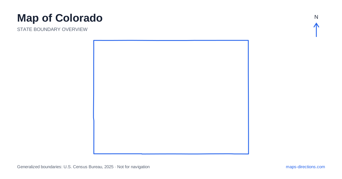
Colorado is often pictured entirely as mountain country, yet a large part of its eastern side consists of open plains. The change from plains to the Front Range is the most useful starting point for reading the map. Denver sits near that transition, with Fort Collins to the north, Colorado Springs farther south and Pueblo beyond it. West of this urban corridor, mountain valleys, high passes and plateaus create a different network. Understanding which side of the mountains a destination occupies is often more helpful than measuring how close its label looks to Denver.
Recognize the rectangular border and varied interior
The state's outline is roughly rectangular, but the interior is far from uniform. Wyoming lies to the north, Nebraska and Kansas to the east, Oklahoma and New Mexico along the southern side, and Utah to the west. The southwestern corner touches Arizona at Four Corners. Those straight boundaries are useful orientation lines, while the terrain inside them determines the practical movement between regions.
The eastern plains contain broad agricultural landscapes and a road pattern that can look more regular than the mountain network. Farther west, the Rockies interrupt direct connections and concentrate roads in valleys or at passes. Do not let the simple state shape encourage a grid-like reading of the whole map. The western half needs a terrain-aware interpretation even when two destinations appear aligned horizontally or vertically.
Follow the Front Range city chain
Interstate 25 forms a major north-to-south corridor along the populated eastern edge of the mountains. Fort Collins, the Denver metropolitan area, Colorado Springs and Pueblo belong to this broad chain, though each has its own urban layout and nearby destinations. A hotel described as being near the mountains may still require a significant drive to a particular canyon, trailhead or visitor entrance.
Boulder sits northwest of Denver against the foothills and has a different local relationship to the mountains than an eastern metropolitan suburb. Similarly, reaching downtown Denver is not the same as reaching its airport or a western canyon approach. Use the exact address and the appropriate side of the metropolitan area when organizing a day. This prevents a statewide overview from hiding repeated urban crossings between otherwise nearby stops.
Treat mountain corridors as distinct choices
A regional road map shows Interstate 70 running west from Denver through the mountain corridor and onward toward Grand Junction. It is a major connection, but it does not eliminate the need for local routes into surrounding valleys. A resort town, national forest access point or scenic road may require leaving the main corridor well before the place appears closest on the map.
US 50 provides a separate east-to-west route farther south, connecting different valleys and communities. It should not be treated as a parallel substitute without considering the destinations and terrain involved. When comparing corridors, trace the entire connection through the mountains. A route that looks shorter in outline can involve a more demanding pass or a longer sequence of smaller roads than the alternative through a major valley.
Understand the Western Slope and southwest
The Western Slope lies on the western side of the Continental Divide and includes valleys, mesas and plateau landscapes as well as mountains. Grand Junction is an important reference point near the western border, while Montrose and Durango orient different parts of the southwest. These cities serve separate regions rather than forming one small cluster that can all be reached casually from the same base.
In the San Juan Mountains, roads often curve around terrain or cross high passes between valleys. A short distance between town labels can therefore conceal a substantial drive. Mesa Verde lies in the southwest near Cortez, outside the high alpine setting that many visitors associate with the entire region. Keep the plateau destinations and mountain destinations distinct when choosing accommodation and the order of visits.
Notice elevation and the side of the divide
Colorado's Continental Divide separates drainage flowing toward opposite sides of the continent and also helps explain the mountain road pattern. A map that marks the divide can clarify why a journey changes valley systems after crossing a pass. It does not, by itself, tell you whether a road is open, suitable for your vehicle or appropriate for the date of travel.
Elevation varies substantially between the plains, the cities and the high country. Seasonal road availability and mountain weather therefore require attention even when the starting point has comfortable conditions. For places such as Rocky Mountain National Park, select the intended entrance and destination rather than using a park-center pin. Two entrances on opposite sides of a mountain area can lead to very different plans when a through road is unavailable.
Build days around valleys rather than straight lines
A practical mountain itinerary groups stops that share an approach road or valley. That can be more efficient than arranging them according to apparent proximity on a statewide map. Consider whether a visit ends on the same side of a pass where it began, and whether the next overnight stop requires retracing the route. Out-and-back segments deserve their full place in the schedule.
For travel across Colorado, compare a terrain overview with the detailed road map before committing to a sequence. Keep the Front Range urban corridor, the eastern plains, the central mountain routes and the Western Slope as separate planning regions. The outline establishes the state's location; the relationship between roads, valleys and passes explains the journey. That distinction helps turn an appealing collection of destinations into a connected route with realistic transitions.