Map of Colorado Springs
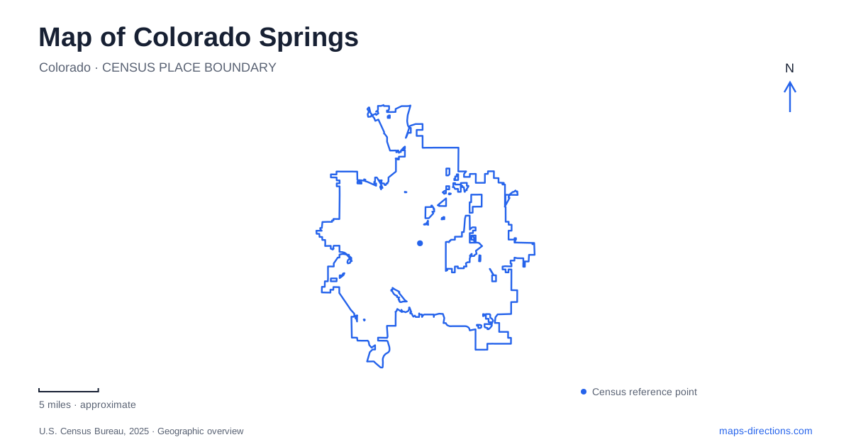
Street tiles load from OpenStreetMap when opened. The blue line shows the 2025 Census boundary.
- State
- Colorado
- Population · July 2025
- 494,743
- Land area
- 202.2 sq mi
- Water area
- 0.4 sq mi
Colorado Springs has a distinct relationship between its urban streets and the parks along the mountain side of the city. Downtown can be read through Tejon Street and Pikes Peak Avenue, while Old Colorado City follows a separate historic commercial corridor farther west. Garden of the Gods and North Cheyenne Cañon introduce different rock landscapes, each with its own road and trail network. A useful map distinguishes those settings before joining them into an itinerary.
Tejon and Pikes Peak form a downtown reference
The intersection of Tejon Street and Pikes Peak Avenue is known locally as Historic Busy Corner. The city's streetscape project focuses on Tejon between Colorado Avenue and Kiowa Street, identifying a compact stretch of the commercial center. Those three east–west streets provide clear references for moving through the downtown blocks.
The project also illustrates the relationship between the street and its edges. Wider sidewalks, dining areas, trees, and loading arrangements affect how the corridor works, while the surrounding alleys remain part of the service network. A map of Colorado Springs should therefore retain the smaller downtown streets instead of showing only the principal avenue.
This central grid is a different kind of landscape from the canyon roads farther west. Short urban blocks make intersections useful meeting references; in the parks, a named trailhead or visitor center is usually more informative.
Old Colorado City occupies a separate western corridor
Old Colorado City is accessible along West Colorado Avenue, west of Interstate 25. The local visitor bureau identifies it as a historic shopping district with Pikes Peak as its backdrop. It lies between the central city and nearby Manitou Springs, which is a separate municipality.
The shared regional setting can make these names seem interchangeable, but they describe different places. West Colorado Avenue provides the connecting street context, while the municipal name identifies the destination. For Colorado Springs visitors, keeping Old Colorado City distinct from Manitou Springs avoids turning a broad westward outing into an unclear address search.
The distinction also helps organize stops. A commercial-district walk along the avenue is different from a visit to a mineral spring or mountain attraction farther west. The road connection joins those experiences without making them one neighborhood.
Garden of the Gods has several rock destinations
Garden of the Gods is a regional park and National Natural Landmark. Its Visitor and Nature Center is on North Thirtieth Street, providing an eastern reference for the rock landscape. The park was given to the city in 1909 by the children of Charles Elliot Perkins with the intention that it remain open and free to the public.
The Gateway rocks, Balanced Rock, and Siamese Twins area are distinct features within the park. Their names are useful because a single park marker does not explain how the formations are distributed. The Central Garden Trail offers a walking route through the main garden area, while other trails and roads reach different viewpoints.
On a Colorado Springs map, the rock formations should be read alongside the park roads and paths. A road view may show proximity to a formation, but a trail map reveals the actual pedestrian connection. The Visitor Center, central garden, and southern rock features are related parts of one landscape rather than one small destination.
North Cheyenne Cañon follows a creek upstream
North Cheyenne Cañon Park lies on the southwest side of the city. North Cheyenne Creek runs along the canyon floor, and the road follows the canyon toward Helen Hunt Falls. Beyond the falls, North Cheyenne Canyon Road continues to its meeting with Gold Camp Road, where a larger parking area connects with additional trails.
This gives the park a strongly linear geography. The Starsmore Visitor and Nature Center is near the lower entrance, the falls occupy a higher point along the road, and further trail routes begin beyond them. A journey through the canyon is therefore an ascent through a sequence of places rather than a circuit around an open urban park.
The Columbine Trail provides another way to read that sequence, with lower, middle, and upper trailheads. It runs from behind Starsmore toward the area near Helen Hunt Falls. The road and trail occupy the same canyon landscape but offer different routes through it.
Match the map to the landscape
Colorado Springs rewards a shift in map scale between these areas. Tejon's intersections explain the commercial center, West Colorado Avenue locates the historic district, and park-specific maps explain the formations and canyon routes. Keeping the creek, roads, trailheads, and municipal boundaries visible preserves the real geography behind a day that might otherwise look like a simple series of nearby pins.
Map and statistics: U.S. Census Bureau, 2025 Gazetteer, January 2025 generalized place boundaries and Vintage 2025 population estimates. Local references: City of Colorado Springs; Visit Manitou Springs; City of Manitou Springs. Article prepared by Maps & Directions.