Map of Collierville
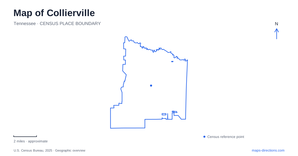
Street tiles load from OpenStreetMap when opened. The blue line shows the 2025 Census boundary.
- State
- Tennessee
- Population · July 2025
- 51,909
- Land area
- 36.7 sq mi
- Water area
- 0.1 sq mi
Collierville is easiest to begin understanding at Town Square, where the railroad, public park, and surrounding streets place the community's commercial history in a compact setting. The wider town includes suburban neighborhoods and recreation landscapes associated with the Wolf River. A useful map preserves the distinction between this older center and the larger area beyond it, giving both the street pattern and the natural corridors enough space to explain their roles.
A square shaped by the railroad
The Memphis and Charleston Railroad was active locally by 1852, and records describe construction of an original depot in 1854. Rail transportation gave farmers and merchants access to markets farther away than the difficult roads of the period readily allowed. The line's importance also made the town a strategic location during the Civil War. The railway is therefore central to understanding why the settlement developed here and why its history involved both commerce and conflict.
The present Depot Visitors Center is at 125 North Rowlett Street. It offers a recognizable starting point for exploring the square area, but it should not be confused with the original depot destroyed during the war. The surviving visitor building represents a later chapter in a much longer rail history. Keeping that chronology clear makes the station label on the map more informative than simply treating it as an unchanged nineteenth-century structure.
The streets around Town Square
Town Square Park is listed at 96 Center Street. The historic district map places the park within a network that includes Main, Rowlett, Walnut, and Mulberry streets, with Poplar Avenue providing another prominent reference. This is a compact pattern of named streets and individual buildings. It rewards a closer map scale than the one useful for choosing a regional approach to Collierville.
The historic district extends beyond the park itself. Its mapped boundary encompasses residential and institutional surroundings as well as the central gathering space. That distinction gives a walk more possibilities than circling the lawn: the nearby streets contain the broader setting in which the town's schools, churches, homes, and businesses developed. The railroad remains a useful orientation line through this pattern, while Main Street helps connect the square area with the museum farther north.
A white church with several later lives
The Morton Museum stands at 196 North Main Street near Poplar Avenue. Its building began as a church in 1873 and received substantial alterations in 1906, including the bell tower, decorative carpentry, and Gothic Revival stained glass. The congregation left in 1992. Later uses included an antiques business and a restaurant before the building became a museum in 2012.
Those changes make the museum an especially useful place to think about Collierville's built environment. Historic preservation here does not mean that every building retains its original function. A structure can remain recognizable on its corner while the activities inside change repeatedly. The museum's exhibitions interpret local history, and its own walls, tower, and entrances are evidence of that history at a smaller architectural scale.
The Wolf River landscape beyond downtown
The Wolf River watershed supplies a different geographical framework from the square's close street grid. W. C. Johnson Park, listed at 419 W. C. Johnson Park Drive, includes a nature-center trailhead and a boardwalk through wetland terrain toward an overlook. The boardwalk illustrates why a route through this landscape cannot be read like an ordinary neighborhood sidewalk: its elevated structure responds to wet ground and the surrounding habitat.
Boardwalk maintenance can affect the connection between the nature-center trailhead, wetland crossing and overlook. Confirm the town's access guidance for this particular walk rather than inferring a continuous route from a project drawing or an older trail description. The permanent geographic relationship is useful even when repairs change how the pieces connect: the trailhead is the arrival point, the boardwalk crosses the wetland, and the overlook provides a distinct destination beyond it.
Putting the two settings together
For an introduction to Collierville, the depot, Town Square Park, and Morton Museum form a coherent historical grouping. They connect transportation, commerce, and a reused community building within the older street network. The Johnson Park landscape adds another perspective, showing how recreation relates to the river watershed beyond the commercial center.
A map of Collierville works best when it makes these different settings legible. The square is a place to examine individual blocks and buildings; the wetland area calls for attention to trails and terrain. Moving between those scales reveals more of the town than a collection of attraction names alone, because each destination helps explain the landscape around it.
Map and statistics: U.S. Census Bureau, 2025 Gazetteer, January 2025 generalized place boundaries and Vintage 2025 population estimates. Local references: Town of Collierville; Shelby County Register of Deeds. Article prepared by Maps & Directions.