Map of Coconut Creek
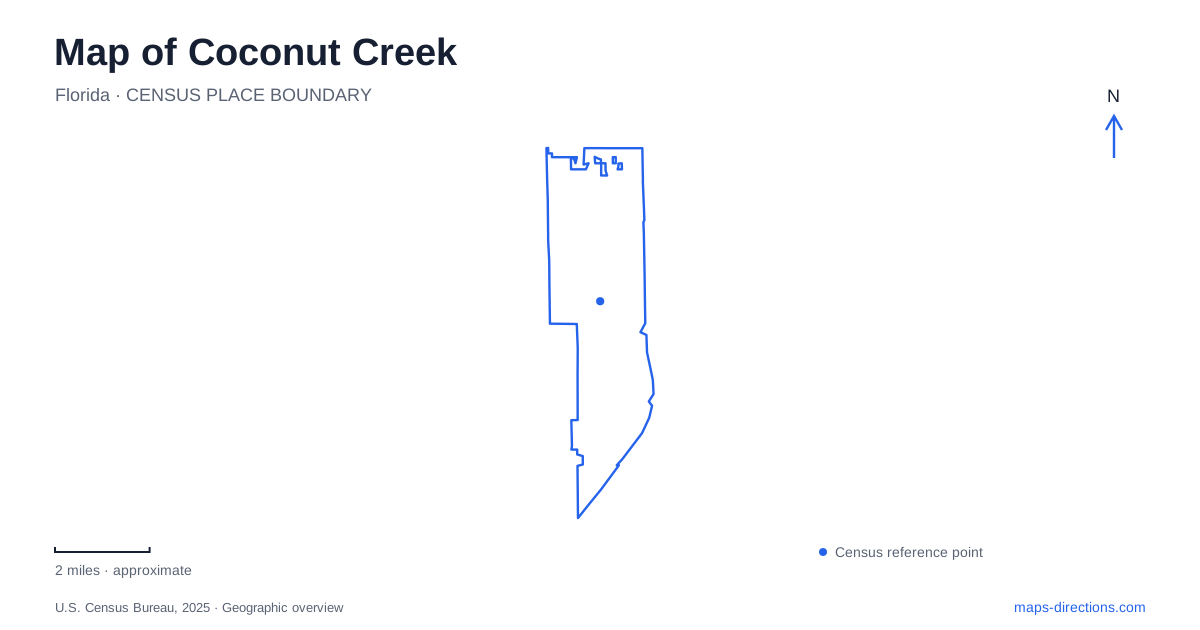
Street tiles load from OpenStreetMap when opened. The blue line shows the 2025 Census boundary.
- State
- Florida
- Population · July 2025
- 58,626
- Land area
- 11.2 sq mi
- Water area
- 0.8 sq mi
Coconut Creek contains several very different kinds of green space: a regional park divided into north and south parcels, a nature center preserving wetland and forest communities, and neighborhood recreation grounds. Sample Road and Lyons Road provide useful references between these settings and the city's commercial destinations. Understanding the differences helps explain why an afternoon among butterfly aviaries, a forest walk, and a shopping visit follow distinct parts of the local map.
Sample Road and the two sides of Tradewinds
Tradewinds Park's north and south parcels create an important local distinction. Butterfly World is within the southern side, while the county's educational farm redevelopment belongs to the northern portion. Sample Road is the address corridor for the park, so the parcel name matters when comparing attractions associated with the same large recreation area.
Butterfly World is a privately operated facility within the county park. Its own visitor information distinguishes its operations from the county's shelters, sports fields, and horse facilities. That arrangement explains why the attraction and the surrounding park have separate information and visitor arrangements despite sharing a location.
For a map of Coconut Creek, this is a useful example of nested destinations: one large park contains several independently identified places. A visit focused on butterfly exhibits belongs to the southern parcel, while the broader park includes activities with other locations and management. The county's north-side farm and gardens project is a redevelopment effort, so future features shown in project drawings should not be treated as established attractions.
Fern Forest preserves a different environment
Fern Forest Nature Center protects a remnant of the historic Cypress Creek floodway. Broward County describes ten plant communities within the preserve, reflecting more ecological variety than the word “forest” alone suggests. The site opened in 1985 and serves environmental education, wildlife observation, and quiet recreation.
Three named routes help explain its layout. Cypress Creek Trail is a half-mile boardwalk, Prairie Overlook Trail is a one-mile foot trail, and Maple Walk is a shorter rustic trail. Those names and surfaces give visitors a practical way to distinguish experiences within the same property. A boardwalk through wet ground is a different setting from an unpaved walk toward a prairie overlook.
The preserve adds an important layer to Coconut Creek's urban geography. Roads and developed parcels surround a place whose identity comes from water movement, vegetation, and habitat. The nature center, outdoor amphitheater, and Royal Fern Hall provide built facilities, but the protected landscape remains the reason for the site. It rewards a slower visit organized around the trails rather than a list of entertainment amenities.
Lyons and Wiles frame the Promenade
The Promenade stands at the corner of Lyons and Wiles roads, south of the Sawgrass Expressway. The official destination listing gives its address as 4443 Lyons Road and describes an open-air shopping and dining environment. The city's planning document places the development on the southwest corner of the intersection.
That corner relationship is a useful way to orient the commercial area within Coconut Creek. Lyons supplies the north-south road reference, Wiles provides the crossing street, and the expressway lies farther north. The development's internal pedestrian setting sits within this larger arterial network, so its shopfront experience is different from the roads used to reach it.
Public art adds another reason to look beyond the store directory. The city's inventory identifies community murals at the Promenade and the “Solar Fish” installation at the theater. These works give the shopping area recognizable visual features, helping connect the outdoor commercial space with the city's wider collection of art.
Recreation grounds and art along local roads
Sabal Pines Park is at 5005 Northwest 39th Avenue. The local model yacht club's directions locate its lake by approaching from Winston Park Boulevard and continuing onto the avenue. That relationship places the park within a neighborhood street setting rather than on the large Lyons and Wiles commercial corner.
Farther along the city's recreation network, Windmill Park and the Community Center have Lyons Road addresses. The public art inventory identifies “BIG Dog” at Windmill Park and “This Old Wheel” at the Community Center. Artwork also appears at major intersections, including a farming-themed installation at Lyons and Sample and a nature-themed piece at Lyons and Hillsboro.
These locations show another way to explore Coconut Creek: follow a familiar road corridor while noticing the different public places attached to it. Regional parkland, preserved habitat, neighborhood recreation, and open-air commerce each occupy their own setting. Their named roads, trails, and artworks give those settings specificity, turning a broad suburban map into a sequence of places with distinct purposes and landscapes.
Map and statistics: U.S. Census Bureau, 2025 Gazetteer, January 2025 generalized place boundaries and Vintage 2025 population estimates. Local references: Butterfly World; Broward County; Visit Lauderdale; City of Coconut Creek; Sabal Pines Model Yacht Club; University of Florida GeoPlan. Article prepared by Maps & Directions.