Map of Clovis
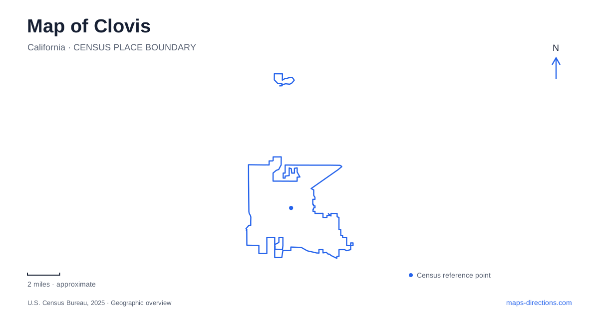
Street tiles load from OpenStreetMap when opened. The blue line shows the 2025 Census boundary.
- State
- California
- Population · July 2025
- 129,347
- Land area
- 26.3 sq mi
- Water area
- 0.1 sq mi
Clovis, California grew from a freight-stop settlement into a city whose transportation history still shapes its public spaces. The former rail corridor now helps organize a trail network, Old Town retains a close grouping of historic streets and plazas, and canals and waterways contribute additional path alignments. This is a useful way to read the map: older systems for moving goods and water continue to influence how people move through the urban landscape today.
Freight, grain and timber explain the original center
Municipal cultural-resource studies trace the town's beginnings to the San Joaquin Valley Railroad in 1891. Agricultural products and livestock gave the railway a practical purpose, while the freight stop provided a focus for settlement. A later lumber operation added another connection to the surrounding region: the Shaver flume carried timber from the Sierra country into the valley, ending near the present Fifth Street area. The early center therefore reflected both valley agriculture and mountain resources.
That history gives particular meaning to Clovis Avenue and Fifth Street. They are not simply convenient labels on a modern grid; they identify the vicinity of an industrial and transportation landscape that helped the town grow. The streets around Old Town can be read at a small scale, while the railway and flume story requires a wider regional view. Combining the two explains why this place developed where it did.
The city's central-area plan identifies several public spaces within that older street pattern. Centennial Plaza sits at Pollasky and Bullard, while Fifth Street Plaza occupies another part of the center. Tarpey Depot Plaza provides a visible railroad reference at Fourth Street. These spaces offer different focal points within Old Town rather than one giant plaza carrying every civic and cultural function.
The rail alignment became a local connection
The Clovis Old Town Trail follows a former railway alignment. A municipal trail study describes its relationship with the recreation center, shopping areas, Old Town, Railroad Park and the connection toward Fresno's Sugar Pine Trail at Willow Avenue. This explains why the path can connect destinations that were not designed as one modern recreation complex. It inherited a corridor that already crossed the urban fabric.
At John Wright Station near Minnewawa Avenue, the study identifies the junction with Dry Creek Trail. From there, the latter heads toward the trailhead near Sunnyside and Shepherd. This branching relationship is more useful than viewing the two paths as unrelated green lines. One follows the former transportation spine; the other carries the network toward a different set of parks and neighborhoods.
The city's map distinguishes existing trails from future ones, and it also identifies tunnels and other crossing features. Those categories help explain how the trail network negotiates major roads. A corridor can be continuous in planning intent while a particular future segment remains only a dashed line. For an actual ride or walk, the existing network and named junctions provide the reliable geographic starting point.
Dry Creek's park and garden form a northern cluster
The botanical garden stands north of Dry Creek Park, between Alluvial and Nees. Its operator emphasizes water-conserving landscapes suited to the Central Valley, with demonstration areas that include Mediterranean plants, cacti and sensory planting. The garden therefore has a different purpose from a sports field or a general neighborhood lawn. It demonstrates how planting choices respond to the region's environment.
For Clovis, this is a useful complement to the earlier agricultural history. Water appears both as an infrastructure concern and as a design question within the contemporary city. The park, garden and nearby trail make that relationship visible at one local scale. They also show why “green space” is too broad a category to describe every destination accurately: a garden visit, trail journey and park gathering use the same general cluster in different ways.
Paseos add a newer pattern in the southeast
The active-transportation plan describes paved paseos separated from roads in residential areas, particularly Loma Vista and the southeast. These paths differ in origin from the former railway trail. Their presence shows that the city's walking and cycling geography has more than one organizing idea: inherited transport corridors, waterway routes and paths built into newer neighborhood planning all contribute to the network.
A Clovis map becomes much more informative when those origins remain visible. Old Town's compact street and plaza arrangement reflects the early settlement; the former railway offers a longer connective line; Dry Creek introduces a branch toward parks and the garden; southeastern paseos create another neighborhood-scale pattern. The result is a city that can be understood through relationships among specific places, rather than a list of attractions scattered around a central pin.
Map and statistics: U.S. Census Bureau, 2025 Gazetteer, January 2025 generalized place boundaries and Vintage 2025 population estimates. Local references: City of Clovis; Clovis Botanical Garden. Article prepared by Maps & Directions.