Map of Clifton
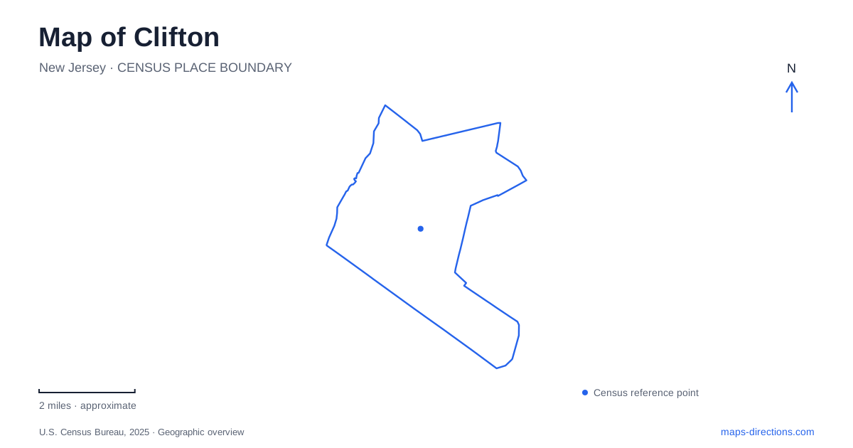
Street tiles load from OpenStreetMap when opened. The blue line shows the 2025 Census boundary.
- State
- New Jersey
- Population · July 2025
- 91,127
- Land area
- 11.3 sq mi
- Water area
- 0.2 sq mi
Clifton has several different centers of activity rather than a single destination that explains the whole city. Rail passengers use two named stations, civic and cultural buildings occupy a former animal quarantine property, and neighborhood parks preserve both designed landscapes and earlier local history. Following these places reveals a city whose transportation routes and public spaces have repeatedly adapted older land uses.
Two stations along the Main Line
Clifton Station is at Elm and Fornelius streets. NJ TRANSIT identifies it with the Main-Bergen County service group, while its Main Line information includes both this stop and Delawanna. Delawanna Station stands at Delawanna Avenue and Oak Street, near the Main Street exit from Route 3. These are separate rail destinations, each with its own surrounding street pattern and parking arrangement.
The distinction matters when comparing a train journey with a highway approach. Delawanna's description ties it directly to Route 3, whereas the Elm Street station is located through local streets. The published Delawanna parking lot is on Delawanna Avenue; the other station has two listed lots. Both provide bicycle parking facilities. Those details let a traveler compare the final neighborhood portion of a journey instead of choosing a station solely because its name matches the city.
Regional bus access adds another layer. NJ TRANSIT identifies Allwood as a bus park-and-ride, so it should not be mistaken for a third Main Line railway stop. A transit map that shows rail and bus symbols together can conceal this difference at a quick glance. Separating the modes first makes the geography easier to understand: the two railway platforms belong to one corridor, while park-and-ride bus journeys use the road network.
A municipal campus with an unusual past
The Clifton Arts Center occupies two historic barns connected by a modern atrium. Its visitor directions place it on Well Road within the City Hall complex. The familiar administrative address on Clifton Avenue therefore describes a larger property, while Well Road gives the more specific cultural destination.
The site's earlier role explains its distinctive buildings. A private dairy farm preceded the federal animal quarantine station established in the former community of Athenia. Animals arriving from overseas included cattle, racehorses, and more unusual species such as giraffes and camels. The quarantine operation eventually moved away in 1979. Fourteen brick barns survive on the municipal grounds, and the gallery opened in 2000 after years of planning.
This history changes how the complex reads on a map. The dispersed buildings were not originally assembled as a conventional office campus. Their reuse brought public services and cultural activity into an inherited agricultural and inspection landscape. The arts center's connected barns offer a particularly clear example of old structures receiving a new purpose without losing their relationship to the surrounding grounds.
The outdoor sculpture collection extends the visit beyond the gallery. More than thirty works stand around the municipal complex, with free access to the sculpture park from dawn to dusk. An outdoor walk and an indoor exhibition consequently follow different spatial arrangements: sculpture is distributed through the grounds, while gallery activity concentrates in the two barns and connecting atrium.
Water and landscape at Weasel Brook
Weasel Brook Park occupies approximately nineteen acres between Paulison Avenue and Third Street. The county lists its address as 794 Park Drive. An Olmsted Brothers design uses the brook, a pond, winding paths, and open meadow areas to organize a compact urban park. A footbridge crosses the water, making the brook part of the walking experience rather than simply a boundary line.
The restored Vanderhoef-Westervelt House supplies an older historical layer within this designed landscape. County accounts describe the site before park development as a farm and water-powered mill property. The park was developed during the 1930s, incorporating a surviving Dutch colonial farmhouse into a new public setting. Its recreational facilities now include basketball, multipurpose fields, picnic areas, a playground, and walking paths.
Main Avenue's separate park setting
Main Memorial Park provides another outdoor reference at 1395 Main Avenue, where the city's recreation inventory locates it in relation to Route 46 and Park Slope. Its listed facilities include tennis, a playground, walking paths, and youth ball fields. This is a different recreation grouping from the county-managed brook park.
A map of Clifton can therefore tell several connected stories: railway access through established streets, cultural reuse of quarantine barns, a stream shaped into public parkland, and recreation beside a major road corridor. Keeping those local histories visible gives the map substance beyond its highway lines.
Map and statistics: U.S. Census Bureau, 2025 Gazetteer, January 2025 generalized place boundaries and Vintage 2025 population estimates. Local references: NJ TRANSIT; Clifton Arts Center; Passaic County; Passaic County Tourism; City of Clifton. Article prepared by Maps & Directions.